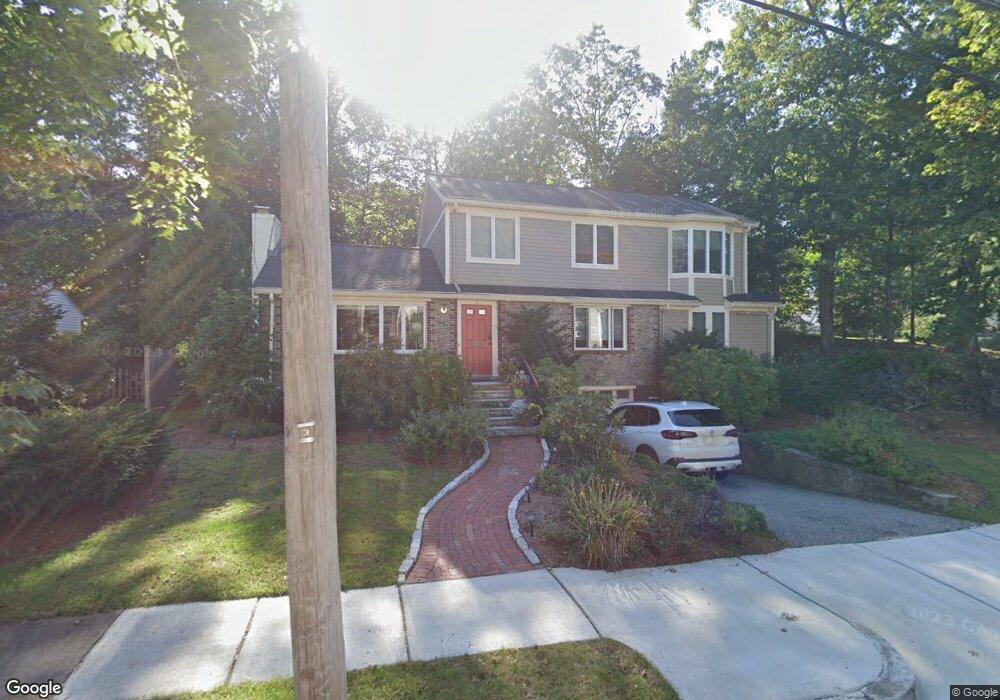
18 Shepherd Park Waban, MA 02468
Waban NeighborhoodEstimated Value: $1,267,000 - $1,785,131
3
Beds
3
Baths
2,413
Sq Ft
$661/Sq Ft
Est. Value
About This Home
This home is located at 18 Shepherd Park, Waban, MA 02468 and is currently estimated at $1,596,033, approximately $661 per square foot. 18 Shepherd Park is a home located in Middlesex County with nearby schools including Angier Elementary School, Charles E Brown Middle School, and Newton South High School.
Ownership History
Date
Name
Owned For
Owner Type
Purchase Details
Closed on
Jun 1, 1995
Sold by
Holzman Barbara-John
Bought by
Gilon Jacob and Gilon Nurit
Current Estimated Value
Create a Home Valuation Report for This Property
The Home Valuation Report is an in-depth analysis detailing your home's value as well as a comparison with similar homes in the area
Home Values in the Area
Average Home Value in this Area
Purchase History
| Date | Buyer | Sale Price | Title Company |
|---|---|---|---|
| Gilon Jacob | $231,500 | -- |
Source: Public Records
Mortgage History
| Date | Status | Borrower | Loan Amount |
|---|---|---|---|
| Open | Gilon Jacob | $440,000 | |
| Closed | Gilon Jacob | $420,000 | |
| Closed | Gilon Jacob | $382,500 | |
| Closed | Gilon Jacob | $365,000 |
Source: Public Records
Tax History Compared to Growth
Tax History
| Year | Tax Paid | Tax Assessment Tax Assessment Total Assessment is a certain percentage of the fair market value that is determined by local assessors to be the total taxable value of land and additions on the property. | Land | Improvement |
|---|---|---|---|---|
| 2025 | $13,219 | $1,348,900 | $1,023,100 | $325,800 |
| 2024 | $12,787 | $1,310,100 | $993,300 | $316,800 |
| 2023 | $12,195 | $1,197,900 | $757,700 | $440,200 |
| 2022 | $11,669 | $1,109,200 | $701,600 | $407,600 |
| 2021 | $11,259 | $1,046,400 | $661,900 | $384,500 |
| 2020 | $10,924 | $1,046,400 | $661,900 | $384,500 |
| 2019 | $10,616 | $1,015,900 | $642,600 | $373,300 |
| 2018 | $10,320 | $953,800 | $592,800 | $361,000 |
| 2017 | $10,006 | $899,800 | $559,200 | $340,600 |
| 2016 | $9,569 | $840,900 | $522,600 | $318,300 |
| 2015 | $9,124 | $785,900 | $488,400 | $297,500 |
Source: Public Records
Map
Nearby Homes
- 131 Oliver Rd
- 120 Stanley Rd
- 873 Chestnut St
- 1077 Boylston St
- 66 Rockland Place
- 17 Circuit Ave Unit 2
- 103 Thurston Rd
- 992 Chestnut St
- 102 Thurston Rd Unit 100
- 1003 Chestnut St
- 200 Lincoln St
- 51 Pettee St Unit 11
- 80 Pine Ridge Rd
- 18 Annawan Rd
- 35 Kingston Rd
- 27 Hamilton Place
- 3 Glenmore Terrace Unit 2
- 45 River Ave Unit 45
- 20 Pennsylvania Ave
- 20 Pennsylvania Ave Unit 20
- 10 Shepherd Park
- 26 Shepherd Park
- 17 Shepherd Park
- 130 Oliver Rd
- 11 Shepherd Park
- 37 Silver Birch Rd
- 116 Oliver Rd
- 136 Oliver Rd
- 22 Shepherd Park
- 21 Silver Birch Rd
- 140 Oliver Rd
- 111 Stanley Rd
- 40 Silver Birch Rd
- 106 Oliver Rd
- 36 Silver Birch Rd
- 36 Silver Birch Rd Unit 36
- 30 Silver Birch Rd
- 121 Stanley Rd
- 146 Oliver Rd
- 22 Silver Birch Rd