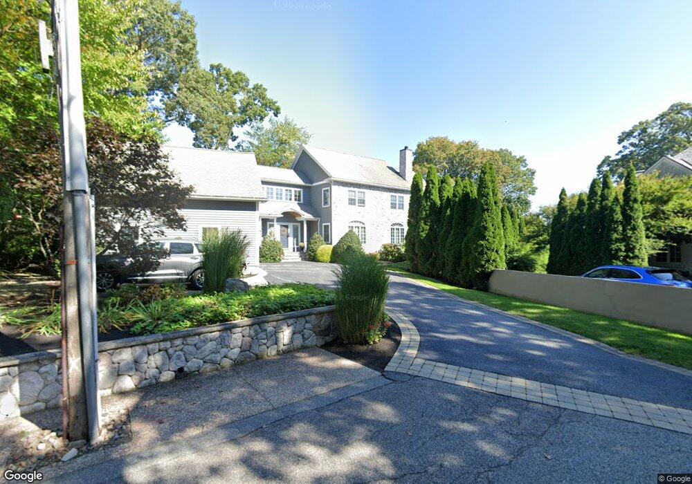
18 Stoney Brook Rd Arlington, MA 02476
Arlington Center NeighborhoodEstimated Value: $2,149,000 - $2,347,000
4
Beds
4
Baths
3,556
Sq Ft
$639/Sq Ft
Est. Value
About This Home
This home is located at 18 Stoney Brook Rd, Arlington, MA 02476 and is currently estimated at $2,271,310, approximately $638 per square foot. 18 Stoney Brook Rd is a home located in Middlesex County with nearby schools including Brackett Elementary School, Bishop Elementary School, and Ottoson Middle School.
Ownership History
Date
Name
Owned For
Owner Type
Purchase Details
Closed on
Jan 15, 2015
Sold by
Roche Ellen T
Bought by
Ellen T Roche Ft and Roche
Current Estimated Value
Purchase Details
Closed on
Apr 8, 1998
Sold by
Kahn Alvin and North Betty
Bought by
Roche Kevin T and Roche Ellen T
Home Financials for this Owner
Home Financials are based on the most recent Mortgage that was taken out on this home.
Original Mortgage
$405,000
Interest Rate
6.98%
Mortgage Type
Purchase Money Mortgage
Create a Home Valuation Report for This Property
The Home Valuation Report is an in-depth analysis detailing your home's value as well as a comparison with similar homes in the area
Home Values in the Area
Average Home Value in this Area
Purchase History
| Date | Buyer | Sale Price | Title Company |
|---|---|---|---|
| Ellen T Roche Ft | -- | -- | |
| Roche Ellen T | -- | -- | |
| Roche Kevin T | $240,000 | -- |
Source: Public Records
Mortgage History
| Date | Status | Borrower | Loan Amount |
|---|---|---|---|
| Previous Owner | Roche Kevin T | $405,000 |
Source: Public Records
Tax History Compared to Growth
Tax History
| Year | Tax Paid | Tax Assessment Tax Assessment Total Assessment is a certain percentage of the fair market value that is determined by local assessors to be the total taxable value of land and additions on the property. | Land | Improvement |
|---|---|---|---|---|
| 2025 | $21,341 | $1,981,500 | $1,012,800 | $968,700 |
| 2024 | $20,119 | $1,899,800 | $976,000 | $923,800 |
| 2023 | $19,478 | $1,737,600 | $893,100 | $844,500 |
| 2022 | $18,233 | $1,596,600 | $828,700 | $767,900 |
| 2021 | $17,850 | $1,574,100 | $828,700 | $745,400 |
| 2020 | $17,408 | $1,574,000 | $828,700 | $745,300 |
| 2019 | $16,311 | $1,448,600 | $874,700 | $573,900 |
| 2018 | $14,779 | $1,218,400 | $644,500 | $573,900 |
| 2017 | $14,956 | $1,190,800 | $616,900 | $573,900 |
| 2016 | $14,653 | $1,144,800 | $570,900 | $573,900 |
| 2015 | $14,194 | $1,047,500 | $478,800 | $568,700 |
Source: Public Records
Map
Nearby Homes
- 242 Claflin St
- 200 Claflin St
- 36 Churchill Ave Unit 1
- 53 Highland Ave
- 10 Plymouth St Unit 10
- 39 Newport St
- 7 Mill St Unit 7
- 34 Hamilton Rd Unit 302
- 31 Mott St Unit 31A
- 22 Hamilton Rd Unit 206
- 18 Belknap St Unit 2
- 18 Belknap St Unit 1
- 7 Court Street Place Unit 7
- 789 Concord Turnpike
- 975 Mass Ave Unit 106
- 975 Massachusetts Ave Unit 307
- 995 Massachusetts Ave Unit 404
- 25-27 Adams St
- 66 Channing Rd
- 41 Palmer St Unit 43
- 24 Stoney Brook Rd
- 12 Stony Brook Rd
- 12 Stony Brook Rd
- 54 Brantwood Rd
- 56 Brantwood Rd
- 24 Stony Brook Rd
- 11 Stoney Brook Rd
- 48 Brantwood Rd
- 58 Brantwood Rd
- 8 Stoney Brook Rd
- 8 Stony Brook Rd
- 44 Brantwood Rd
- Ten Stony Brook Rd
- 9 Stony Brook Rd
- 7 Stoney Brook Rd
- 64 Brantwood Rd
- 25 Brunswick Rd
- 243 Pleasant St
- 55 Brantwood Rd
- 42 Brantwood Rd