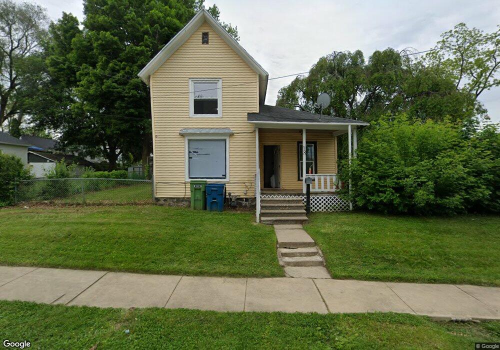
18 Tennyson Ave Battle Creek, MI 49015
Central Battle Creek NeighborhoodEstimated Value: $79,000 - $124,000
3
Beds
2
Baths
1,092
Sq Ft
$94/Sq Ft
Est. Value
About This Home
This home is located at 18 Tennyson Ave, Battle Creek, MI 49015 and is currently estimated at $102,576, approximately $93 per square foot. 18 Tennyson Ave is a home located in Calhoun County with nearby schools including Ann J. Kellogg School, Springfield Middle School, and Battle Creek Central High School.
Ownership History
Date
Name
Owned For
Owner Type
Purchase Details
Closed on
Dec 19, 2020
Sold by
Hernandez Martha
Bought by
Romano Ferando
Current Estimated Value
Purchase Details
Closed on
Sep 18, 2008
Sold by
Lawcock Ruth A and Mortgage Electronic Registrati
Bought by
Federal Home Loan Mortgage Corporation
Purchase Details
Closed on
Jul 16, 2002
Sold by
Lawcock Frederick A
Bought by
Lawcock Ruth A
Purchase Details
Closed on
Nov 21, 1996
Bought by
Lawcock (Surrender Of '96 Lc)
Purchase Details
Closed on
Feb 29, 1996
Bought by
Holton
Create a Home Valuation Report for This Property
The Home Valuation Report is an in-depth analysis detailing your home's value as well as a comparison with similar homes in the area
Home Values in the Area
Average Home Value in this Area
Purchase History
| Date | Buyer | Sale Price | Title Company |
|---|---|---|---|
| Romano Ferando | -- | None Available | |
| Federal Home Loan Mortgage Corporation | $73,868 | None Available | |
| Lawcock Ruth A | -- | -- | |
| Lawcock (Surrender Of '96 Lc) | -- | -- | |
| Holton | $43,000 | -- |
Source: Public Records
Tax History Compared to Growth
Tax History
| Year | Tax Paid | Tax Assessment Tax Assessment Total Assessment is a certain percentage of the fair market value that is determined by local assessors to be the total taxable value of land and additions on the property. | Land | Improvement |
|---|---|---|---|---|
| 2025 | -- | $26,100 | $0 | $0 |
| 2024 | $500 | $21,694 | $0 | $0 |
| 2023 | $571 | $20,607 | $0 | $0 |
| 2022 | $452 | $15,461 | $0 | $0 |
| 2021 | $539 | $14,133 | $0 | $0 |
| 2020 | $503 | $13,907 | $0 | $0 |
| 2019 | $503 | $10,755 | $0 | $0 |
| 2018 | $503 | $10,816 | $568 | $10,248 |
| 2017 | $627 | $12,226 | $0 | $0 |
| 2016 | $643 | $13,928 | $0 | $0 |
| 2015 | $766 | $15,643 | $2,456 | $13,187 |
| 2014 | $766 | $16,627 | $2,456 | $14,171 |
Source: Public Records
Map
Nearby Homes
- 17 Tennyson Ave
- 57 Boulder St
- 96 Battle Creek Ave
- 35 Eldred St
- 71 Burnham St W
- 66 Cleveland St
- 171 Goguac St W
- 296 Meachem Ave
- 41 Randolph St
- 210 Battle Creek Ave
- 1 Grand Blvd
- 212 Goguac St W
- 100 Eldred St
- 178 Webber St
- 32 Territorial Rd E
- 21 Spring St
- 30 Harris St
- 9 Foster Ave
- 127 W Territorial Rd
- 39 Harris St
- 12 Tennyson Ave
- 19 Janoah Ave
- 15 Janoah Ave
- 23 Janoah Ave
- 30 Tennyson Ave
- 29 Janoah Ave
- 413 Capital Ave SW
- 409 Capital Ave SW
- 19 Tennyson Ave
- 417 Capital Ave SW
- 23 Tennyson Ave
- 421 Capital Ave SW
- 36 Tennyson Ave
- 33 Janoah Ave
- 29 Tennyson Ave
- 38 Janoah Ave
- 33 Tennyson Ave
- 35 Janoah Ave
- 16 Janoah Ave
- 42 Tennyson Ave