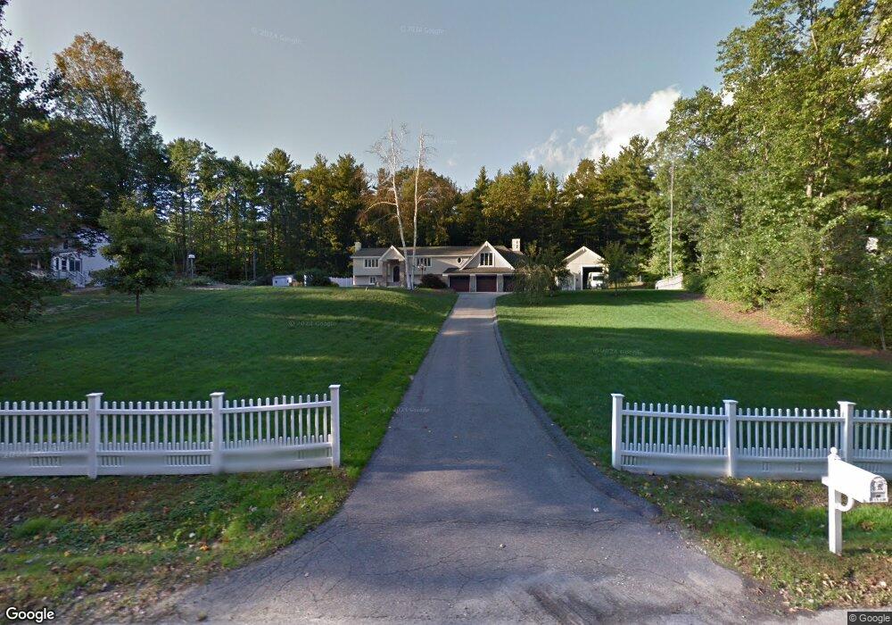
18 Thornton Rd Londonderry, NH 03053
Estimated Value: $711,000 - $758,000
2
Beds
1
Bath
2,562
Sq Ft
$283/Sq Ft
Est. Value
About This Home
This home is located at 18 Thornton Rd, Londonderry, NH 03053 and is currently estimated at $724,223, approximately $282 per square foot. 18 Thornton Rd is a home with nearby schools including Matthew Thornton Elementary School, Londonderry Middle School, and Londonderry Senior High School.
Create a Home Valuation Report for This Property
The Home Valuation Report is an in-depth analysis detailing your home's value as well as a comparison with similar homes in the area
Home Values in the Area
Average Home Value in this Area
Tax History Compared to Growth
Tax History
| Year | Tax Paid | Tax Assessment Tax Assessment Total Assessment is a certain percentage of the fair market value that is determined by local assessors to be the total taxable value of land and additions on the property. | Land | Improvement |
|---|---|---|---|---|
| 2024 | $10,000 | $619,600 | $199,900 | $419,700 |
| 2023 | $9,618 | $614,600 | $199,900 | $414,700 |
| 2022 | $9,793 | $529,900 | $149,800 | $380,100 |
| 2021 | $9,740 | $529,900 | $149,800 | $380,100 |
| 2020 | $9,062 | $450,600 | $112,400 | $338,200 |
| 2019 | $8,737 | $450,600 | $112,400 | $338,200 |
| 2018 | $8,253 | $378,600 | $93,700 | $284,900 |
| 2017 | $8,182 | $378,600 | $93,700 | $284,900 |
| 2016 | $8,140 | $378,600 | $93,700 | $284,900 |
| 2015 | $7,958 | $378,600 | $93,700 | $284,900 |
| 2014 | $7,985 | $378,600 | $93,700 | $284,900 |
| 2011 | -- | $380,800 | $93,700 | $287,100 |
Source: Public Records
Map
Nearby Homes
- 90 High Range Rd
- 88 High Range Rd
- 6 Wiley Hill Rd
- 12 Wiley Hill Rd
- 3 Chandler Dr
- 5 Delphi Way
- 3 Delphi Way
- 7 Delphi Way
- 4 Delphi Way
- 1 Delphi Way
- 1 Delphi Way Unit 10
- 17 Lily Ln
- 19 Lily Ln
- 31 Midridge Cir
- 27 Midridge Cir
- 1 Lily Ln
- 11 Elise Ave Unit Lot 91
- 111 Winterwood Dr
- 214 Winding Pond Rd
- 10 Jason Dr