18 Trask Ln Uxbridge, MA 01569
Estimated Value: $685,000 - $744,000
4
Beds
3
Baths
2,296
Sq Ft
$311/Sq Ft
Est. Value
About This Home
This home is located at 18 Trask Ln, Uxbridge, MA 01569 and is currently estimated at $714,852, approximately $311 per square foot. 18 Trask Ln is a home located in Worcester County with nearby schools including Uxbridge High School and Our Lady of the Valley Regional School.
Ownership History
Date
Name
Owned For
Owner Type
Purchase Details
Closed on
Feb 12, 2024
Sold by
Bleyhl Michael T and Bleyhl Julie A
Bought by
Bleyhl Michael T
Current Estimated Value
Purchase Details
Closed on
Mar 30, 2000
Sold by
Joseph Construction Sv
Bought by
Bleyhl Michael T and Bleyhl Julie A
Create a Home Valuation Report for This Property
The Home Valuation Report is an in-depth analysis detailing your home's value as well as a comparison with similar homes in the area
Home Values in the Area
Average Home Value in this Area
Purchase History
| Date | Buyer | Sale Price | Title Company |
|---|---|---|---|
| Bleyhl Michael T | -- | None Available | |
| Bleyhl Michael T | -- | None Available | |
| Bleyhl Michael T | $255,900 | -- | |
| Bleyhl Michael T | $255,900 | -- |
Source: Public Records
Mortgage History
| Date | Status | Borrower | Loan Amount |
|---|---|---|---|
| Previous Owner | Bleyhl Michael T | $75,000 | |
| Previous Owner | Bleyhl Michael T | $251,172 |
Source: Public Records
Tax History
| Year | Tax Paid | Tax Assessment Tax Assessment Total Assessment is a certain percentage of the fair market value that is determined by local assessors to be the total taxable value of land and additions on the property. | Land | Improvement |
|---|---|---|---|---|
| 2025 | $8,015 | $611,400 | $175,300 | $436,100 |
| 2024 | $7,602 | $588,400 | $166,600 | $421,800 |
| 2023 | $7,262 | $520,600 | $143,700 | $376,900 |
| 2022 | $6,623 | $436,900 | $126,300 | $310,600 |
| 2021 | $6,871 | $434,300 | $123,700 | $310,600 |
| 2020 | $7,195 | $429,800 | $121,900 | $307,900 |
| 2019 | $7,115 | $410,100 | $121,900 | $288,200 |
| 2018 | $6,930 | $403,600 | $121,900 | $281,700 |
| 2017 | $6,328 | $373,100 | $112,100 | $261,000 |
| 2016 | $6,575 | $374,200 | $106,800 | $267,400 |
| 2015 | $6,421 | $369,000 | $106,800 | $262,200 |
Source: Public Records
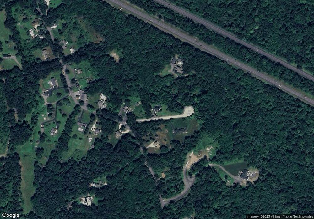
Map
Nearby Homes
- 197 Crownshield Ave Unit 16B
- 197 Crownshield Ave Unit 16A
- 197 Crownshield Ave Unit 16C
- 314 Richardson St
- 395 High St
- 61 Spring Hill Dr Unit 61
- 45 Turner Farm Rd
- 46 Turner Farm Rd
- 47 Turner Farm Rd
- 114 Turner Farm Rd
- 127 Turner Farm Rd
- 126 Turner Farm Rd
- 139 Turner Farm Rd
- 136 Turner Farm Rd
- 18 Turner Farm Rd
- 15 Turner Farm Rd
- 12 Turner Farm Rd
- 145 Turner Farm Rd
- 11 Summerfield Dr Unit 11
- 70 Chocolog Rd
Your Personal Tour Guide
Ask me questions while you tour the home.