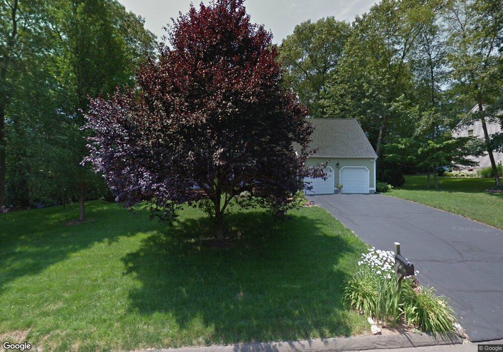
18 Whitewood Dr Branford, CT 06405
Estimated Value: $675,000 - $814,883
4
Beds
3
Baths
2,400
Sq Ft
$314/Sq Ft
Est. Value
About This Home
This home is located at 18 Whitewood Dr, Branford, CT 06405 and is currently estimated at $754,471, approximately $314 per square foot. 18 Whitewood Dr is a home located in New Haven County with nearby schools including Francis Walsh Intermediate School, Branford High School, and East Shoreline Catholic Academy.
Ownership History
Date
Name
Owned For
Owner Type
Purchase Details
Closed on
Jun 2, 2009
Sold by
Maher John M and Maher Cheryl A
Bought by
Jenei Peter
Current Estimated Value
Home Financials for this Owner
Home Financials are based on the most recent Mortgage that was taken out on this home.
Original Mortgage
$249,000
Outstanding Balance
$158,168
Interest Rate
4.87%
Estimated Equity
$596,303
Purchase Details
Closed on
Dec 5, 1991
Sold by
Fairfax Homes Inc
Bought by
Maher John M and Maher Cheryl A
Home Financials for this Owner
Home Financials are based on the most recent Mortgage that was taken out on this home.
Original Mortgage
$185,000
Interest Rate
8%
Mortgage Type
Unknown
Create a Home Valuation Report for This Property
The Home Valuation Report is an in-depth analysis detailing your home's value as well as a comparison with similar homes in the area
Home Values in the Area
Average Home Value in this Area
Purchase History
| Date | Buyer | Sale Price | Title Company |
|---|---|---|---|
| Jenei Peter | $549,000 | -- | |
| Maher John M | $251,012 | -- |
Source: Public Records
Mortgage History
| Date | Status | Borrower | Loan Amount |
|---|---|---|---|
| Open | Maher John M | $249,000 | |
| Previous Owner | Maher John M | $189,000 | |
| Previous Owner | Maher John M | $185,000 |
Source: Public Records
Tax History Compared to Growth
Tax History
| Year | Tax Paid | Tax Assessment Tax Assessment Total Assessment is a certain percentage of the fair market value that is determined by local assessors to be the total taxable value of land and additions on the property. | Land | Improvement |
|---|---|---|---|---|
| 2025 | $10,805 | $504,900 | $118,200 | $386,700 |
| 2024 | $9,245 | $303,300 | $103,200 | $200,100 |
| 2023 | $9,066 | $303,300 | $103,200 | $200,100 |
| 2022 | $8,932 | $303,300 | $103,200 | $200,100 |
| 2021 | $8,932 | $303,300 | $103,200 | $200,100 |
| 2020 | $8,771 | $303,300 | $103,200 | $200,100 |
| 2019 | $8,799 | $302,700 | $121,100 | $181,600 |
| 2018 | $8,669 | $302,700 | $121,100 | $181,600 |
| 2017 | $8,618 | $302,700 | $121,100 | $181,600 |
| 2016 | $8,297 | $302,700 | $121,100 | $181,600 |
| 2015 | $8,152 | $302,700 | $121,100 | $181,600 |
| 2014 | $8,053 | $306,900 | $121,100 | $185,800 |
Source: Public Records
Map
Nearby Homes
- 312 Leetes Island Rd
- 3 Ashman Ct
- 12 Wellesley Dr
- 155 Stony Creek Rd
- 12 Bowhay Hill Rd
- 28 Bowhay Hill Rd
- 55-69 Sawmill Rd
- 0 Beechwood Rd
- 63 Gould Ln
- 0 Gould Ln
- 0 Reel Island Unit 24071393
- 8 Gaylea Dr
- 0 Burr Island
- 117 Sunset Hill Dr
- 59 Hoadley Creek Cir
- 52 Leighton Trail
- 525 E Main St Unit 23
- 525 E Main St Unit 33
- 525 E Main St Unit 8
- 525 E Main St Unit 44
- 16 Whitewood Dr
- 20 Whitewood Dr
- 17 Tanglewood Dr
- 19 Tanglewood Dr
- 15 Tanglewood Dr
- 17 Whitewood Dr
- 14 Whitewood Dr
- 19 Whitewood Dr
- 22 Whitewood Dr
- 15 Whitewood Dr
- 13 Tanglewood Dr
- 21 Whitewood Dr
- 20 Tanglewood Dr
- 12 Whitewood Dr
- 18 Tanglewood Dr
- 13 Whitewood Dr
- 11 Tanglewood Dr
- 16 Tanglewood Dr
- 23 Whitewood Dr
- 7 Ledgerock