18 Wyman Ln Strafford, NH 03884
Estimated Value: $745,000 - $1,140,000
4
Beds
3
Baths
3,423
Sq Ft
$273/Sq Ft
Est. Value
About This Home
This home is located at 18 Wyman Ln, Strafford, NH 03884 and is currently estimated at $936,081, approximately $273 per square foot. 18 Wyman Ln is a home with nearby schools including Strafford School and Coe-Brown Northwood Academy.
Ownership History
Date
Name
Owned For
Owner Type
Purchase Details
Closed on
Oct 30, 2023
Sold by
Waldron Heidi M
Bought by
Heidi M Waldron Ret and Waldron
Current Estimated Value
Purchase Details
Closed on
Oct 12, 2001
Sold by
Brownstone Ests Llc
Bought by
Waldron Gerald T and Waldron Heidi M
Create a Home Valuation Report for This Property
The Home Valuation Report is an in-depth analysis detailing your home's value as well as a comparison with similar homes in the area
Home Values in the Area
Average Home Value in this Area
Purchase History
| Date | Buyer | Sale Price | Title Company |
|---|---|---|---|
| Heidi M Waldron Ret | -- | None Available | |
| Waldron Gerald T | $31,700 | -- | |
| Waldron Gerald T | $31,700 | -- |
Source: Public Records
Mortgage History
| Date | Status | Borrower | Loan Amount |
|---|---|---|---|
| Previous Owner | Waldron Gerald T | $362,200 |
Source: Public Records
Tax History Compared to Growth
Tax History
| Year | Tax Paid | Tax Assessment Tax Assessment Total Assessment is a certain percentage of the fair market value that is determined by local assessors to be the total taxable value of land and additions on the property. | Land | Improvement |
|---|---|---|---|---|
| 2024 | $13,542 | $685,300 | $74,400 | $610,900 |
| 2023 | $12,774 | $685,300 | $74,400 | $610,900 |
| 2022 | $11,739 | $685,300 | $74,400 | $610,900 |
| 2021 | $12,651 | $685,300 | $74,400 | $610,900 |
| 2020 | $12,120 | $472,500 | $67,800 | $404,700 |
| 2019 | $11,090 | $472,500 | $67,800 | $404,700 |
| 2018 | $11,165 | $472,500 | $67,800 | $404,700 |
| 2016 | $10,041 | $472,500 | $67,800 | $404,700 |
| 2015 | $9,221 | $422,800 | $83,500 | $339,300 |
| 2014 | $9,792 | $422,800 | $83,500 | $339,300 |
| 2013 | $9,589 | $422,800 | $83,500 | $339,300 |
| 2012 | $9,462 | $422,800 | $83,500 | $339,300 |
Source: Public Records
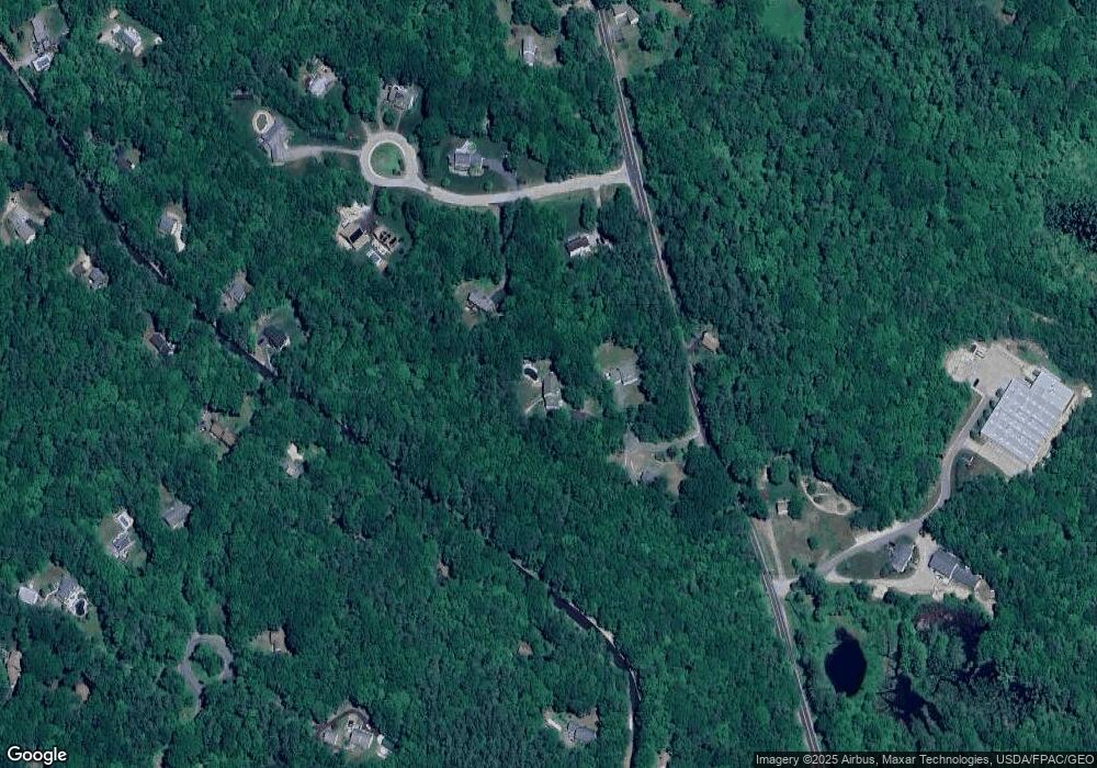
Map
Nearby Homes
- 11 Drake Hill Rd
- Map 3 Lot 18-2b and 18-2c Water St
- 268 Province Rd
- M37 L40 Beaver Rd
- 133 & 137 Browns Pasture Rd
- 28-1 Range Rd
- 295 1st New Hampshire Turnpike
- 2184 Franklin Pierce Hwy
- 31 Green St
- 249 Cooper Hill Rd
- 142 Mountain Ave
- 150A 1st New Hampshire Turnpike
- 0 1st New Hampshire Turnpike Unit 5026030
- 0 1st New Hampshire Turnpike Unit 5013320
- Map 219 Lot 6-8 Ridge Rd
- 5 Liberty Ln
- 0 Sloper Rd Unit 6
- 83 Sloper Rd
- 108 Lucas Pond Rd
- 64 Kelsey Mill Rd
- 5 Bernard Rd
- 36 Bernard Rd
- 15 Bernard Rd
- 9 Wyman Ln Unit 1
- 82 Sunny Oaks Terrace
- 10 Wyman Ln Unit 3
- 10 Wyman Ln
- 10 Wyman Ln Unit 8-3
- 193 Drake Hill Rd
- 8C Bernard Rd
- 8 Bernard Rd
- 47 Sunny Oaks Terrace
- 57 Sunny Oaks Terrace
- 38 Bernard Rd
- 14 Bernard Rd
- 39 Sunny Oaks Terrace
- 221 Drake Hill Rd
- 75 Sunny Oaks Terrace
- C Bernard Rd
- 86 Sunny Oaks Terrace