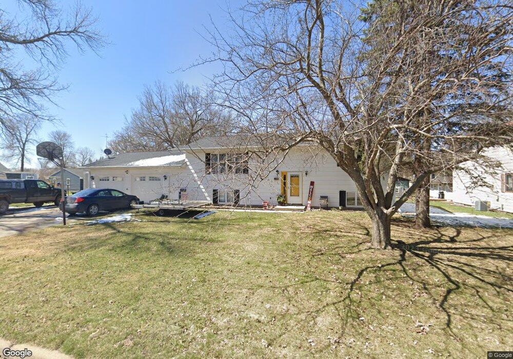
180 11th Ave N Brownton, MN 55312
Estimated Value: $145,000 - $201,000
2
Beds
1
Bath
756
Sq Ft
$223/Sq Ft
Est. Value
About This Home
This home is located at 180 11th Ave N, Brownton, MN 55312 and is currently estimated at $168,265, approximately $222 per square foot. 180 11th Ave N is a home located in McLeod County with nearby schools including Lincoln Elementary School, Lakeside Elementary School, and Glencoe-Silver Lake Jr. High School.
Ownership History
Date
Name
Owned For
Owner Type
Purchase Details
Closed on
Sep 17, 2021
Sold by
Hansch Chris J and Hansch Kristen K
Bought by
Cady Lauren M and Cady Sarah D
Current Estimated Value
Home Financials for this Owner
Home Financials are based on the most recent Mortgage that was taken out on this home.
Original Mortgage
$122,550
Outstanding Balance
$111,345
Interest Rate
2.7%
Mortgage Type
New Conventional
Estimated Equity
$56,920
Create a Home Valuation Report for This Property
The Home Valuation Report is an in-depth analysis detailing your home's value as well as a comparison with similar homes in the area
Home Values in the Area
Average Home Value in this Area
Purchase History
| Date | Buyer | Sale Price | Title Company |
|---|---|---|---|
| Cady Lauren M | $129,000 | Title Mark | |
| Cady Lauren Lauren | $129,000 | -- |
Source: Public Records
Mortgage History
| Date | Status | Borrower | Loan Amount |
|---|---|---|---|
| Open | Cady Lauren M | $122,550 | |
| Closed | Cady Lauren Lauren | $129,000 |
Source: Public Records
Tax History Compared to Growth
Tax History
| Year | Tax Paid | Tax Assessment Tax Assessment Total Assessment is a certain percentage of the fair market value that is determined by local assessors to be the total taxable value of land and additions on the property. | Land | Improvement |
|---|---|---|---|---|
| 2024 | $880 | $94,700 | $23,600 | $71,100 |
| 2023 | $950 | $91,800 | $23,600 | $68,200 |
| 2022 | $808 | $90,500 | $22,400 | $68,100 |
| 2021 | $1,198 | $74,800 | $19,600 | $55,200 |
| 2020 | $1,182 | $67,300 | $17,800 | $49,500 |
| 2019 | $1,074 | $64,500 | $17,800 | $46,700 |
| 2018 | $996 | $0 | $0 | $0 |
| 2017 | $998 | $0 | $0 | $0 |
| 2016 | $960 | $0 | $0 | $0 |
| 2015 | $870 | $0 | $0 | $0 |
| 2014 | -- | $0 | $0 | $0 |
Source: Public Records
Map
Nearby Homes
- 752 2nd St N
- 531 2nd St N
- 221 3rd Ave S
- 237 5th St N
- 7612 Plum Ave
- 122 2nd Ave S
- 304 1st Ave N
- xxx Lot 3 Division St W
- Lot 2 U S Highway 212
- XXX US Hwy 212
- xxx Lot 2 Us Hwy 212
- 16452 90th St
- 11742 Sunset Cir
- 11655 Sunset Cir
- 7900 Lace Ave
- 7900 Lace Ave N
- 13198 100th St
- 15554 130th St
- Lot 2 Tagus Ave
- 12893 County Road 7
- 180 11th Ave N
- 180 11th Ave N
- 1010 Division St
- 1011 2nd St N
- 1006 Division St
- 1003 2nd St N
- 1002 Division St
- 942 Division St
- 981 2nd St N
- 981 981 2nd-Street-n
- 936 Division St
- 1020 2nd St N
- 1002 2nd St N
- 976 2nd St N
- 982 2nd St N
- 973 2nd St N
- 930 930 Division St
- 931 Division St
- 930 Division St E
- 158 9th Ave N