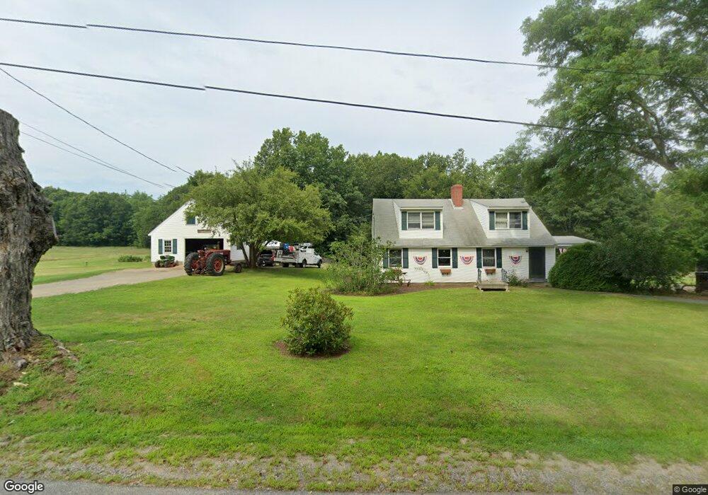
180 Buffum Rd North Berwick, ME 03906
Estimated Value: $526,849 - $660,000
4
Beds
3
Baths
1,960
Sq Ft
$297/Sq Ft
Est. Value
About This Home
This home is located at 180 Buffum Rd, North Berwick, ME 03906 and is currently estimated at $581,462, approximately $296 per square foot. 180 Buffum Rd is a home located in York County with nearby schools including Noble High School.
Ownership History
Date
Name
Owned For
Owner Type
Purchase Details
Closed on
Jul 23, 2021
Sold by
Lane Michael D
Bought by
Lane Andrew M
Current Estimated Value
Home Financials for this Owner
Home Financials are based on the most recent Mortgage that was taken out on this home.
Original Mortgage
$284,000
Outstanding Balance
$257,922
Interest Rate
2.96%
Mortgage Type
Purchase Money Mortgage
Estimated Equity
$323,540
Create a Home Valuation Report for This Property
The Home Valuation Report is an in-depth analysis detailing your home's value as well as a comparison with similar homes in the area
Home Values in the Area
Average Home Value in this Area
Purchase History
| Date | Buyer | Sale Price | Title Company |
|---|---|---|---|
| Lane Andrew M | -- | None Available |
Source: Public Records
Mortgage History
| Date | Status | Borrower | Loan Amount |
|---|---|---|---|
| Open | Lane Andrew M | $284,000 |
Source: Public Records
Tax History
| Year | Tax Paid | Tax Assessment Tax Assessment Total Assessment is a certain percentage of the fair market value that is determined by local assessors to be the total taxable value of land and additions on the property. | Land | Improvement |
|---|---|---|---|---|
| 2024 | $4,337 | $433,700 | $144,900 | $288,800 |
| 2023 | $3,959 | $368,300 | $116,500 | $251,800 |
| 2022 | $3,669 | $329,100 | $111,500 | $217,600 |
| 2021 | $3,528 | $323,700 | $111,500 | $212,200 |
| 2020 | $3,489 | $293,200 | $100,500 | $192,700 |
| 2019 | $3,470 | $281,000 | $96,200 | $184,800 |
| 2018 | $3,513 | $272,300 | $96,200 | $176,100 |
| 2017 | $3,431 | $272,300 | $96,200 | $176,100 |
| 2016 | $3,431 | $272,300 | $96,200 | $176,100 |
| 2015 | $3,431 | $272,300 | $96,200 | $176,100 |
| 2013 | $3,390 | $272,300 | $96,200 | $176,100 |
Source: Public Records
Map
Nearby Homes
- TBD Buffum Rd
- 67 Maple Street Lot A
- 74 Maple St
- 17 Market St
- 38 High St
- Lot #5 Adams Bridge Rd
- 54 Lower Main St
- 13 Diamond Hill Rd
- 30 Riverview Dr Unit D
- 8 Rogers Way
- 4 Legend Trail
- 3 Legend Trail
- 6 Lilac Ln
- 5 Knights Pond Rd
- Lot 13 Laney Ln
- Lot 11 Laney Ln
- 71-5 Bennett Lot Rd
- 2 Rizzo Rd
- 561 Perry Oliver Rd
- 3 Heritage Dr