180 Cabin City Loop Saint Regis, MT 59866
Estimated Value: $203,000 - $318,000
1
Bed
1
Bath
660
Sq Ft
$412/Sq Ft
Est. Value
About This Home
This home is located at 180 Cabin City Loop, Saint Regis, MT 59866 and is currently estimated at $271,676, approximately $411 per square foot. 180 Cabin City Loop is a home located in Mineral County with nearby schools including St. Regis Elementary School, St. Regis Junior High School, and St. Regis High School.
Ownership History
Date
Name
Owned For
Owner Type
Purchase Details
Closed on
May 9, 2017
Sold by
Kenyon Kevin Robert and Kenyon Gayle Lynne
Bought by
Kendall Jay
Current Estimated Value
Home Financials for this Owner
Home Financials are based on the most recent Mortgage that was taken out on this home.
Original Mortgage
$54,000
Outstanding Balance
$28,147
Interest Rate
4.14%
Mortgage Type
New Conventional
Estimated Equity
$243,529
Purchase Details
Closed on
Jul 27, 2012
Sold by
Estate Of Donald R Bowen
Bought by
Kenyon Kevin Robert and Kenyon Gayle Lynne
Purchase Details
Closed on
Jun 11, 2008
Sold by
Bowen Joyce A
Bought by
Bowen Donald R
Home Financials for this Owner
Home Financials are based on the most recent Mortgage that was taken out on this home.
Original Mortgage
$75,100
Interest Rate
5.99%
Mortgage Type
New Conventional
Create a Home Valuation Report for This Property
The Home Valuation Report is an in-depth analysis detailing your home's value as well as a comparison with similar homes in the area
Home Values in the Area
Average Home Value in this Area
Purchase History
| Date | Buyer | Sale Price | Title Company |
|---|---|---|---|
| Kendall Jay | -- | First American Title Company | |
| Kenyon Kevin Robert | -- | None Available | |
| Bowen Donald R | -- | First American Title Company |
Source: Public Records
Mortgage History
| Date | Status | Borrower | Loan Amount |
|---|---|---|---|
| Open | Kendall Jay | $54,000 | |
| Previous Owner | Bowen Donald R | $75,100 |
Source: Public Records
Tax History Compared to Growth
Tax History
| Year | Tax Paid | Tax Assessment Tax Assessment Total Assessment is a certain percentage of the fair market value that is determined by local assessors to be the total taxable value of land and additions on the property. | Land | Improvement |
|---|---|---|---|---|
| 2025 | $157 | $195,181 | $0 | $0 |
| 2024 | $273 | $154,387 | $0 | $0 |
| 2023 | $274 | $154,387 | $0 | $0 |
| 2022 | $201 | $97,959 | $0 | $0 |
| 2021 | $148 | $97,959 | $0 | $0 |
| 2020 | $231 | $105,800 | $0 | $0 |
| 2019 | $903 | $105,800 | $0 | $0 |
| 2018 | $434 | $93,732 | $0 | $0 |
| 2017 | $456 | $93,732 | $0 | $0 |
| 2016 | $791 | $90,100 | $0 | $0 |
| 2015 | $721 | $90,100 | $0 | $0 |
| 2014 | $572 | $38,884 | $0 | $0 |
Source: Public Records
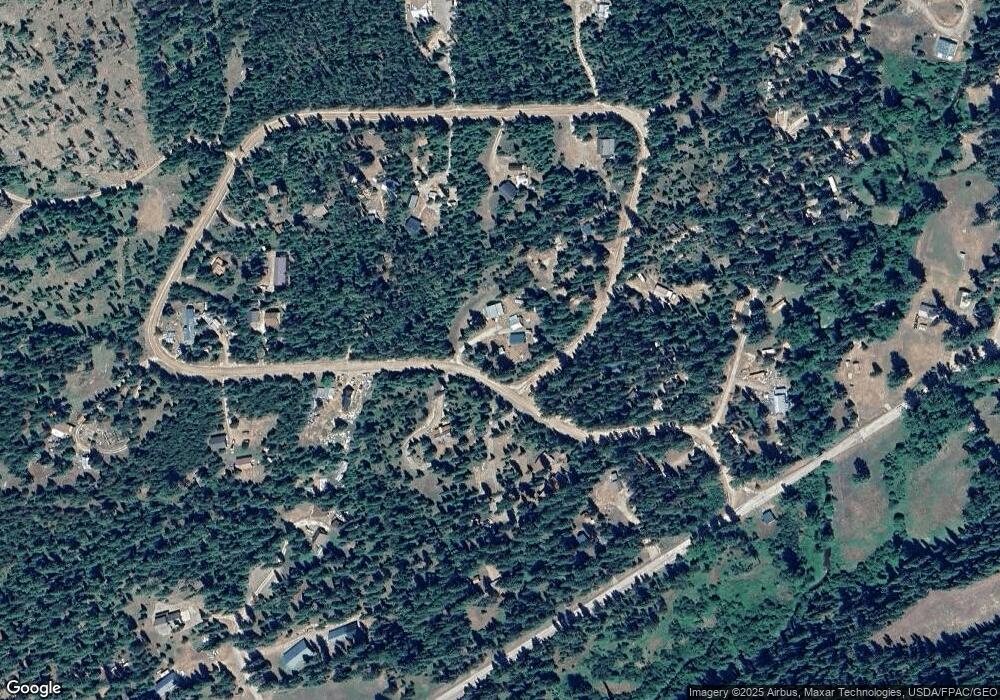
Map
Nearby Homes
- Nhn Cabin City Loop Rd Unit Lot 50
- 435 Cabin City Loop
- 119 E Yellowstone Trail
- 236 Thompson Deborgia Rd
- 307 de Borgia Haugen Frontage Rd
- 763 Upper Cotton Ln
- 632 Finley Rd
- 632 Finley Rd
- 136 Brown Bear Ln
- 114 Side Job Ln
- 360 Valley Dr W
- 114a Packer Dr
- 1876 Timber Creek Rd
- 6343 Packer Creek Rd
- 38 Western Juniper Ln
- 556 Saint Regis St
- 207 Main St
- n/a Main St
- 505 Main St
- 120 Monte Circle Dr
- 180 Cabin City Loop
- 13 Cabin City Loop
- 16 Cabin City Loop
- Unk Cabin City Loop Rd
- Lot 50 Cabin City Loop Rd
- Lot 52 Cabin City Loop Rd
- 60 Cabin City Loop
- 65 Cabin City Loop
- 9 Cabin City Loop
- 11 Cabin City Loop
- 11256 Mullan Gulch Rd
- 38 Cabin City Loop
- 239 Cabin City Loop
- 11260 Mullan Gulch Rd
- 1116 Mullan Gulch Rd
- 1120 Mullan Gulch Rd
- 276 Cabin City Loop
- 1114 Mullan Gulch Rd
- 11366 Mullan Gulch Rd
- 1126 Mullan Gulch Rd