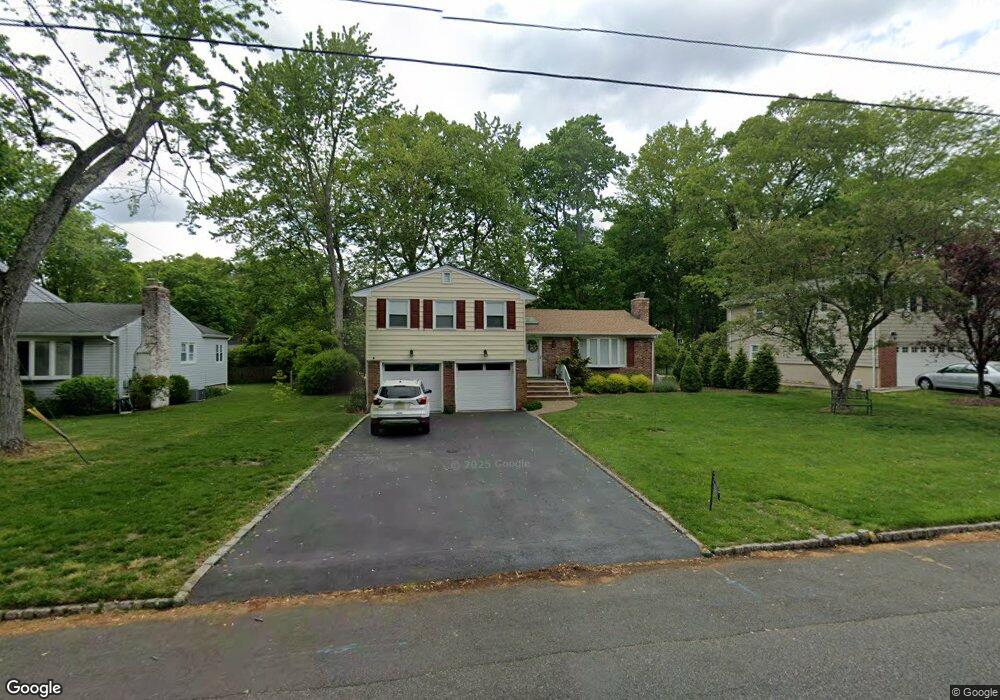
180 Commonwealth Ave New Providence, NJ 07974
Estimated Value: $837,840 - $1,089,000
--
Bed
--
Bath
1,978
Sq Ft
$494/Sq Ft
Est. Value
About This Home
This home is located at 180 Commonwealth Ave, New Providence, NJ 07974 and is currently estimated at $977,460, approximately $494 per square foot. 180 Commonwealth Ave is a home located in Union County with nearby schools including New Providence High School, The Academy of Our Lady of Peace, and Oak Knoll School of the Holy Child.
Ownership History
Date
Name
Owned For
Owner Type
Purchase Details
Closed on
Jun 6, 2012
Sold by
Vidal Stephen A and Simone Vidal Susan
Bought by
Vidal Stephen A and Simone Vidal Susan
Current Estimated Value
Create a Home Valuation Report for This Property
The Home Valuation Report is an in-depth analysis detailing your home's value as well as a comparison with similar homes in the area
Home Values in the Area
Average Home Value in this Area
Purchase History
| Date | Buyer | Sale Price | Title Company |
|---|---|---|---|
| Vidal Stephen A | -- | None Available |
Source: Public Records
Tax History Compared to Growth
Tax History
| Year | Tax Paid | Tax Assessment Tax Assessment Total Assessment is a certain percentage of the fair market value that is determined by local assessors to be the total taxable value of land and additions on the property. | Land | Improvement |
|---|---|---|---|---|
| 2025 | $15,083 | $292,200 | $144,600 | $147,600 |
| 2024 | $14,630 | $292,200 | $144,600 | $147,600 |
| 2023 | $14,630 | $292,200 | $144,600 | $147,600 |
| 2022 | $14,429 | $292,200 | $144,600 | $147,600 |
| 2021 | $14,324 | $292,200 | $144,600 | $147,600 |
| 2020 | $14,318 | $292,200 | $144,600 | $147,600 |
| 2019 | $14,230 | $292,200 | $144,600 | $147,600 |
| 2018 | $14,157 | $292,200 | $144,600 | $147,600 |
| 2017 | $13,926 | $292,200 | $144,600 | $147,600 |
| 2016 | $13,730 | $292,200 | $144,600 | $147,600 |
| 2015 | $13,541 | $292,200 | $144,600 | $147,600 |
| 2014 | $13,336 | $292,200 | $144,600 | $147,600 |
Source: Public Records
Map
Nearby Homes
- 197 Elkwood Ave
- 100 Commonwealth Ave
- 283 Riveredge Dr
- 29 Walton Ave
- 17B Heritage Dr Unit B
- 5 Kincaid Ln
- 175 Terrace Dr
- 2F Terrace Dr Unit F
- 21G Heritage Dr Unit G
- 146 Riveredge Dr
- 1200 Springfield Ave Unit 1B
- 32 Charnwood Rd
- 54 Badgley Dr
- 54 Canterbury Rd
- 19 Division Ave
- 17 Hilltop Terrace
- 43 Passaic Ave
- 45 Runnymede Rd
- 14 Holmes Oval
- 85 Southern Blvd
- 186 Commonwealth Ave
- 172 Commonwealth Ave
- 72 Woodbine Cir
- 78 Woodbine Cir
- 194 Commonwealth Ave
- 66 Woodbine Cir
- 181 Commonwealth Ave
- 3 Schindler Place
- 9 Schindler Place
- 187 Commonwealth Ave
- 200 Commonwealth Ave
- 169 Commonwealth Ave
- 58 Woodbine Cir
- 195 Commonwealth Ave
- 163 Commonwealth Ave
- 28 Woodbine Cir
- 147 Madison Ave
- 6 Woodbine Cir
- 73 Woodbine Cir
- 38 Woodbine Cir