180 Daniel Rd Jackson, TN 38305
Estimated Value: $77,562 - $159,000
Studio
2
Baths
1,141
Sq Ft
$108/Sq Ft
Est. Value
About This Home
This home is located at 180 Daniel Rd, Jackson, TN 38305 and is currently estimated at $123,641, approximately $108 per square foot. 180 Daniel Rd is a home located in Madison County with nearby schools including East Elementary School, Northeast Middle School, and North Side High School.
Ownership History
Date
Name
Owned For
Owner Type
Purchase Details
Closed on
Jun 16, 2022
Sold by
Cate Patsy C
Bought by
Barnes Corey Matthew and Barnes Christi Lynn
Current Estimated Value
Purchase Details
Closed on
Oct 27, 1992
Bought by
Cate Charles D and Cate Patsy
Purchase Details
Closed on
Apr 17, 1992
Bought by
United States Of America
Purchase Details
Closed on
Nov 7, 1988
Bought by
Holley Bobby Joe
Purchase Details
Closed on
Apr 14, 1988
Bought by
Holley Bobby Joe
Purchase Details
Closed on
Mar 25, 1960
Bought by
Holley Holley L and Holley Leon
Create a Home Valuation Report for This Property
The Home Valuation Report is an in-depth analysis detailing your home's value as well as a comparison with similar homes in the area
Purchase History
| Date | Buyer | Sale Price | Title Company |
|---|---|---|---|
| Barnes Corey Matthew | $50,000 | Pentecost & Glenn Pllc | |
| Cate Charles D | $20,000 | -- | |
| United States Of America | $27,000 | -- | |
| Holley Bobby Joe | -- | -- | |
| Holley Bobby Joe | -- | -- | |
| Holley Holley L | -- | -- |
Source: Public Records
Tax History
| Year | Tax Paid | Tax Assessment Tax Assessment Total Assessment is a certain percentage of the fair market value that is determined by local assessors to be the total taxable value of land and additions on the property. | Land | Improvement |
|---|---|---|---|---|
| 2025 | $480 | $25,600 | $3,075 | $22,525 |
| 2024 | $480 | $25,600 | $3,075 | $22,525 |
| 2022 | $453 | $24,200 | $3,075 | $21,125 |
| 2021 | $332 | $14,125 | $2,450 | $11,675 |
| 2020 | $332 | $14,125 | $2,450 | $11,675 |
| 2019 | $332 | $14,125 | $2,450 | $11,675 |
| 2018 | $332 | $14,125 | $2,450 | $11,675 |
| 2017 | $342 | $13,950 | $2,450 | $11,500 |
| 2016 | $300 | $13,950 | $2,450 | $11,500 |
| 2015 | $300 | $13,950 | $2,450 | $11,500 |
| 2014 | $300 | $13,950 | $2,450 | $11,500 |
Source: Public Records
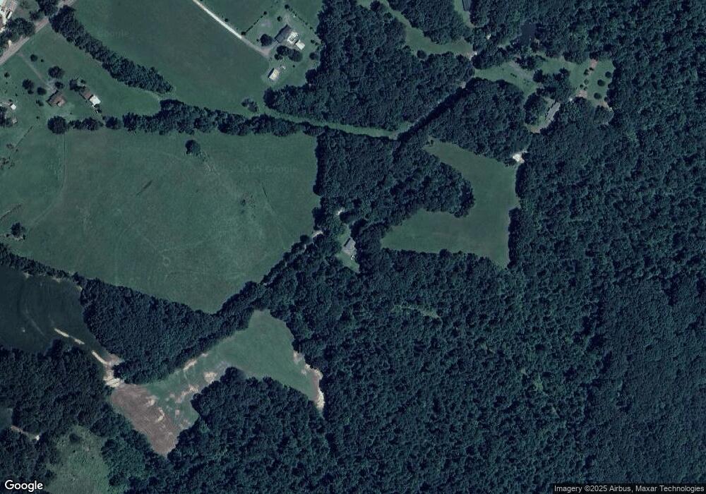
Map
Nearby Homes
- 419 Hughes Rd E
- 65 Aldridge Ln
- 0 Hwy 70 Ave Unit 2506026
- 0 Hwy 70 Ave Unit RTC2802275
- 103 Spring Creek Law Rd
- 00 Spring Creek Law Rd
- 31 Spring Creek Law Rd
- 973 Old Lavinia Rd
- 0 Lavinia Rd
- 945 Old Lavinia Rd
- 780 Hickory Flat Rd
- 514 George Anderson Rd
- 220 Lakewood Dr E
- 23 Springview Dr
- 14 F W Towater Rd
- 47 Mill Dr
- 4489 Spring Creek Rd
- 28 Springview Dr
- 108 Springbrook Dr
- 212 Springview Dr
- 4110 Highway 70 E
- 200 Daniel Rd
- 205 Daniel Rd
- 4104 Highway 70 E
- 237 Daniel Rd
- 79 Highway 70 E
- 121 Highway 70 E
- 4092 Highway 70 E
- 198 Highway 70 E
- 4086 Highway 70 E
- 198 & 250 Hwy 70 E
- 250 Highway 70 E
- 4109 Highway 70 E
- 4076 Highway 70 E
- 23 Deere Ln
- 344 Highway 70 E
- 44 Boyd Ln
- 370 Boyd Ln
- 52 Boyd Ln
- 300 Boyd Ln
Your Personal Tour Guide
Ask me questions while you tour the home.