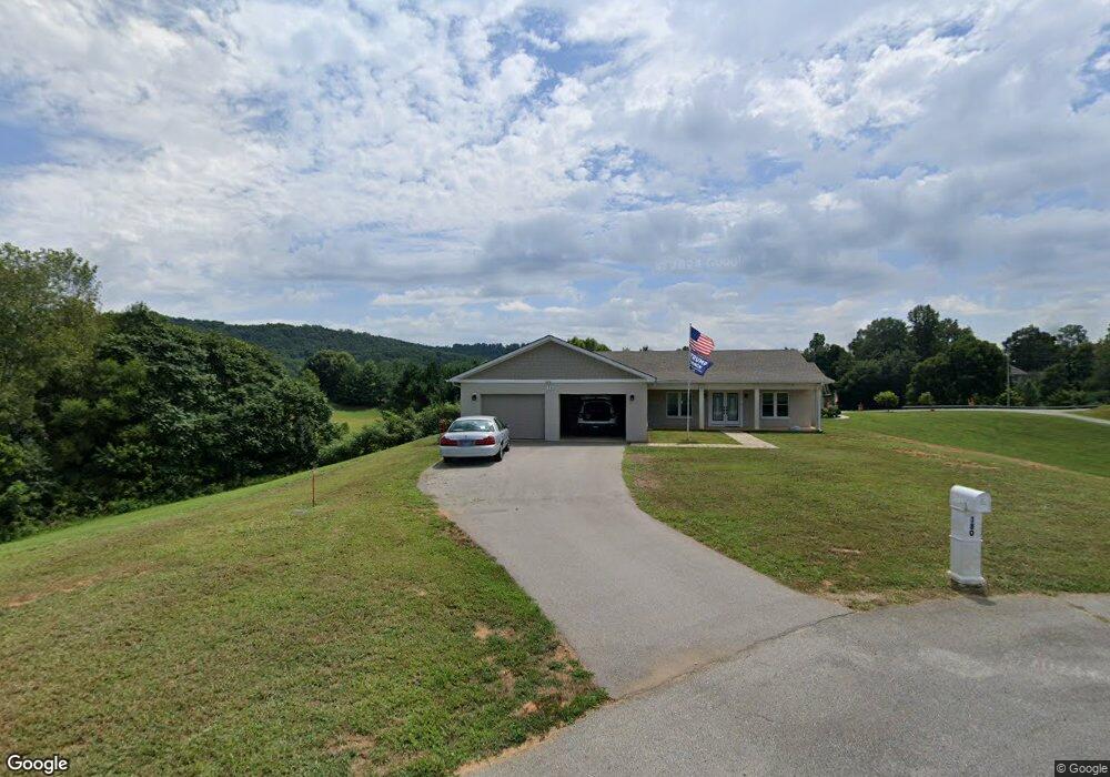
180 Deer Circle Dr Sparta, TN 38583
Estimated Value: $297,000 - $506,000
--
Bed
--
Bath
1,777
Sq Ft
$222/Sq Ft
Est. Value
About This Home
This home is located at 180 Deer Circle Dr, Sparta, TN 38583 and is currently estimated at $393,662, approximately $221 per square foot. 180 Deer Circle Dr is a home with nearby schools including Findlay Elementary School, White County Middle School, and White County High School.
Ownership History
Date
Name
Owned For
Owner Type
Purchase Details
Closed on
Aug 31, 2017
Sold by
Mahony Michael P and Mahony Patricia A
Bought by
Clark Thomas and Dickerson Landon
Current Estimated Value
Purchase Details
Closed on
Feb 10, 2006
Bought by
Mahony Michael P and Mahony Patricia A
Purchase Details
Closed on
Jan 27, 2005
Bought by
Louise Young and Breeding Bob
Purchase Details
Closed on
Jan 25, 2001
Bought by
River Bend Farms
Create a Home Valuation Report for This Property
The Home Valuation Report is an in-depth analysis detailing your home's value as well as a comparison with similar homes in the area
Home Values in the Area
Average Home Value in this Area
Purchase History
| Date | Buyer | Sale Price | Title Company |
|---|---|---|---|
| Clark Thomas | $12,000 | None Available | |
| Mahony Michael P | $15,000 | -- | |
| Louise Young | -- | -- | |
| River Bend Farms | $220,000 | -- |
Source: Public Records
Tax History Compared to Growth
Tax History
| Year | Tax Paid | Tax Assessment Tax Assessment Total Assessment is a certain percentage of the fair market value that is determined by local assessors to be the total taxable value of land and additions on the property. | Land | Improvement |
|---|---|---|---|---|
| 2025 | -- | $122,700 | $0 | $0 |
| 2024 | -- | $65,750 | $7,075 | $58,675 |
| 2023 | $0 | $65,750 | $7,075 | $58,675 |
| 2022 | $146 | $4,950 | $4,950 | $0 |
| 2021 | $147 | $4,950 | $4,950 | $0 |
| 2020 | $146 | $4,950 | $4,950 | $0 |
| 2019 | $163 | $5,250 | $5,250 | $0 |
| 2018 | $163 | $5,250 | $5,250 | $0 |
| 2017 | $163 | $5,250 | $5,250 | $0 |
| 2016 | $163 | $5,250 | $5,250 | $0 |
| 2015 | $152 | $5,250 | $5,250 | $0 |
| 2014 | -- | $5,250 | $5,250 | $0 |
| 2013 | -- | $5,300 | $5,300 | $0 |
Source: Public Records
Map
Nearby Homes
- 147 Sunrise Ridge Dr
- 311 Officer Dr
- 0 N Main St
- 0 Oakwood St
- 210 Gillen Dr
- 227 Oakwood St
- 202 Gillen Dr
- Lot 3 & 4 Harbor Green Place
- 319 Burton Rd
- 119 Walker St
- 7 Marshall St
- 301 W Everett St
- 112 N Church St
- 107 N Main St
- 105 N Church St
- 115 Baker St
- 18 N Church St
- 0 E Bockman Way
- 249 N Spring St
- 330 Flatt St
- 134 Sunrise Ridge Dr
- 150 Sunrise Ridge Dr
- 00 Deer Circle Dr
- LOT 6 Deer Circle Dr
- 0 Circle Dr Unit 616605
- 0 Circle Dr Unit 613430
- 0 Sunrise Ridge Dr
- 435 Freedom Trail
- 439 Freedom Trail
- 429 Freedom Trail
- 523 Oakland Dr
- 661 Oakland Dr
- 433 Freedom Trail
- 441 Freedom Trail
- 549 Oakland Dr
- 567 Oakland Dr
- 427 Freedom Trail
- 488 Oakland Dr
- 454 Oakland Dr
- 200 Sunrise Ridge Dr