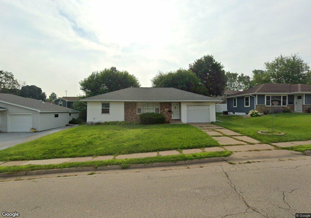
180 Devon Dr Dubuque, IA 52001
Estimated Value: $217,000 - $232,000
3
Beds
4
Baths
1,126
Sq Ft
$198/Sq Ft
Est. Value
About This Home
This home is located at 180 Devon Dr, Dubuque, IA 52001 and is currently estimated at $223,333, approximately $198 per square foot. 180 Devon Dr is a home located in Dubuque County with nearby schools including Irving Elementary School, George Washington Middle School, and Dubuque Senior High School.
Ownership History
Date
Name
Owned For
Owner Type
Purchase Details
Closed on
Mar 31, 2005
Sold by
Hill Paul E and Hill Helene M
Bought by
Hill Joseph L
Current Estimated Value
Home Financials for this Owner
Home Financials are based on the most recent Mortgage that was taken out on this home.
Original Mortgage
$54,500
Interest Rate
5.62%
Mortgage Type
Assumption
Create a Home Valuation Report for This Property
The Home Valuation Report is an in-depth analysis detailing your home's value as well as a comparison with similar homes in the area
Purchase History
| Date | Buyer | Sale Price | Title Company |
|---|---|---|---|
| Hill Joseph L | $41,500 | None Available |
Source: Public Records
Mortgage History
| Date | Status | Borrower | Loan Amount |
|---|---|---|---|
| Closed | Hill Joseph L | $54,500 |
Source: Public Records
Tax History
| Year | Tax Paid | Tax Assessment Tax Assessment Total Assessment is a certain percentage of the fair market value that is determined by local assessors to be the total taxable value of land and additions on the property. | Land | Improvement |
|---|---|---|---|---|
| 2025 | $2,700 | $207,900 | $33,600 | $174,300 |
| 2024 | $2,700 | $187,800 | $31,900 | $155,900 |
| 2023 | $2,622 | $187,800 | $31,900 | $155,900 |
| 2022 | $2,440 | $147,520 | $30,240 | $117,280 |
| 2021 | $2,440 | $147,520 | $30,240 | $117,280 |
| 2020 | $2,406 | $135,280 | $28,560 | $106,720 |
| 2019 | $2,442 | $135,280 | $28,560 | $106,720 |
| 2018 | $2,404 | $131,290 | $26,880 | $104,410 |
| 2017 | $2,340 | $131,290 | $26,880 | $104,410 |
| 2016 | $2,292 | $121,120 | $26,880 | $94,240 |
| 2015 | $2,292 | $121,120 | $26,880 | $94,240 |
| 2014 | $2,228 | $121,120 | $26,880 | $94,240 |
Source: Public Records
Map
Nearby Homes
- 2476 Pearl St
- 2637 Nebraska St
- 105 Cherokee Dr
- 2163 Lombard St
- 124 Cherokee Dr
- 1642 Drexel Ave
- 2628 University Ave
- 2155 Decorah St
- 2750 Pennsylvania Ave
- 3063 Brunskill Rd
- 81 Fremont Ave
- 2844 Oak Meadow Ct
- 1698 N Algona St
- 2935 Van Buren St
- 1556 Auburn St
- 1425 Adair St
- 1135 Wood St
- 1405 University Ave
- 1765 Eden Ln
- 1390 Loras Blvd
- 190 Devon Dr
- 170 Devon Dr
- 175 Princeton Place
- 185 Princeton Place
- 165 Princeton Place
- 160 Devon Dr
- 200 Devon Dr
- 189 Devon Dr
- 165 Devon Dr
- 201 Princeton Place
- 157 Princeton Place
- 150 Devon Dr
- 222 Devon Dr
- 180 Princeton Place
- 155 Devon Dr
- 225 Princeton Place
- 168 Princeton Place
- 194 Princeton Place
- 160 Croydon Crest
- 215 Devon Dr
Your Personal Tour Guide
Ask me questions while you tour the home.