180 Farnham Point Rd East Boothbay, ME 04544
Estimated Value: $573,000 - $857,000
--
Bed
--
Bath
1,496
Sq Ft
$461/Sq Ft
Est. Value
About This Home
This home is located at 180 Farnham Point Rd, East Boothbay, ME 04544 and is currently estimated at $689,922, approximately $461 per square foot. 180 Farnham Point Rd is a home located in Lincoln County with nearby schools including Boothbay Region Elementary School and Boothbay Region High School.
Ownership History
Date
Name
Owned For
Owner Type
Purchase Details
Closed on
Mar 30, 2012
Sold by
Howard Clayton N
Bought by
Bank Of Maine
Current Estimated Value
Purchase Details
Closed on
Jun 6, 2008
Sold by
Ocean Point Lobster Inc
Bought by
Howard Clayton N
Home Financials for this Owner
Home Financials are based on the most recent Mortgage that was taken out on this home.
Original Mortgage
$640,000
Interest Rate
5%
Mortgage Type
Commercial
Create a Home Valuation Report for This Property
The Home Valuation Report is an in-depth analysis detailing your home's value as well as a comparison with similar homes in the area
Home Values in the Area
Average Home Value in this Area
Purchase History
| Date | Buyer | Sale Price | Title Company |
|---|---|---|---|
| Bank Of Maine | -- | -- | |
| Howard Clayton N | -- | -- |
Source: Public Records
Mortgage History
| Date | Status | Borrower | Loan Amount |
|---|---|---|---|
| Previous Owner | Howard Clayton N | $640,000 |
Source: Public Records
Tax History Compared to Growth
Tax History
| Year | Tax Paid | Tax Assessment Tax Assessment Total Assessment is a certain percentage of the fair market value that is determined by local assessors to be the total taxable value of land and additions on the property. | Land | Improvement |
|---|---|---|---|---|
| 2024 | $3,966 | $349,405 | $196,368 | $153,037 |
| 2023 | $3,512 | $349,405 | $196,368 | $153,037 |
| 2022 | $3,249 | $349,405 | $196,368 | $153,037 |
| 2021 | $3,337 | $349,405 | $196,368 | $153,037 |
| 2020 | $3,354 | $349,405 | $196,368 | $153,037 |
| 2019 | $3,302 | $349,405 | $196,368 | $153,037 |
| 2018 | $3,249 | $349,405 | $196,368 | $153,037 |
| 2017 | $3,168 | $344,400 | $186,300 | $158,100 |
| 2016 | $3,031 | $344,400 | $186,300 | $158,100 |
| 2015 | $3,014 | $344,400 | $186,300 | $158,100 |
| 2014 | $2,927 | $344,400 | $186,300 | $158,100 |
Source: Public Records
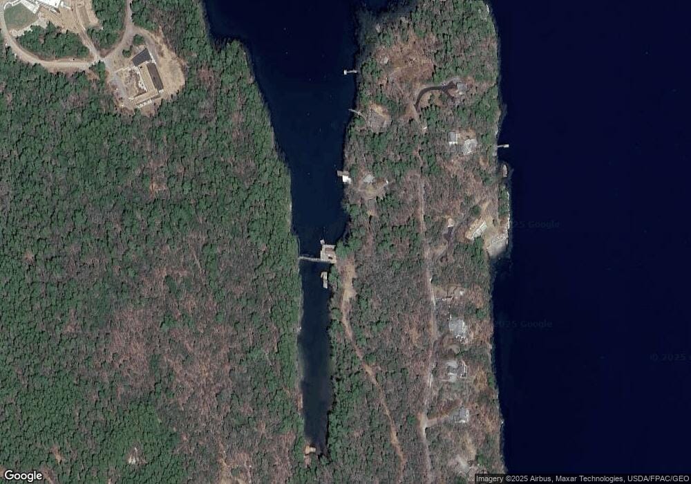
Map
Nearby Homes
- 12 Westwind Dr
- 239 Ocean Point Rd
- 210 Ocean Point Rd
- 5 Massachusetts Ave
- 19 Hill Rd
- 28 & 31 Will Alley Rd
- 35 Rice Rd
- 23 Meadow Cove Rd
- 44 King Phillips Trail
- Lts 23A&24 Birch Island
- Birch Island
- 98 Meadow Cove Rd
- 127 Appalachee Rd
- 25 Pineview Ridge Rd
- 74 & 76 Bay St
- 86 Firth Dr
- 31 Bay St
- 61 Van Horn Rd
- 66 Townsend Ave
- 37 Townsend Ave
- 208 Farnham Point Rd
- 207 Farnham Point Rd
- 220 Farnham Point Rd
- 187 Farnham Point Rd
- 217 Farnham Point Rd
- 181 Farnham Point Rd
- 229 Farnham Point Rd
- 226 Farnham Point Rd
- 175 Farnham Point Rd
- 163 Farnham Point Rd
- 159 Farnham Point Rd
- 157 Farnham Point Rd
- 153 Farnham Point Rd
- 149 & 0 Farnham Point Rd
- 144 Farnham Point Rd
- 149 Farnham Point Rd
- 342 Ocean Point Rd
- 350 Ocean Point Rd
- 130 Farnham Point Rd
- 60 Bigelow Dr