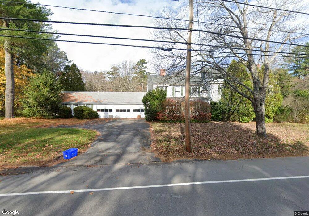
180 Foreside Rd Falmouth, ME 04105
Estimated Value: $1,086,000 - $1,628,000
5
Beds
2
Baths
3,343
Sq Ft
$394/Sq Ft
Est. Value
About This Home
This home is located at 180 Foreside Rd, Falmouth, ME 04105 and is currently estimated at $1,318,048, approximately $394 per square foot. 180 Foreside Rd is a home located in Cumberland County with nearby schools including Falmouth Middle School, Falmouth High School, and Friends School Of Portland.
Ownership History
Date
Name
Owned For
Owner Type
Purchase Details
Closed on
Aug 18, 2023
Sold by
Hunt M R M and Hunt Janet M
Bought by
Hunt Merrill R and Hunt Janet M
Current Estimated Value
Home Financials for this Owner
Home Financials are based on the most recent Mortgage that was taken out on this home.
Original Mortgage
$1,633,950
Outstanding Balance
$1,602,591
Interest Rate
7.72%
Mortgage Type
FHA
Estimated Equity
-$284,543
Create a Home Valuation Report for This Property
The Home Valuation Report is an in-depth analysis detailing your home's value as well as a comparison with similar homes in the area
Home Values in the Area
Average Home Value in this Area
Purchase History
| Date | Buyer | Sale Price | Title Company |
|---|---|---|---|
| Hunt Merrill R | -- | None Available |
Source: Public Records
Mortgage History
| Date | Status | Borrower | Loan Amount |
|---|---|---|---|
| Open | Hunt Merrill R | $1,633,950 |
Source: Public Records
Tax History Compared to Growth
Tax History
| Year | Tax Paid | Tax Assessment Tax Assessment Total Assessment is a certain percentage of the fair market value that is determined by local assessors to be the total taxable value of land and additions on the property. | Land | Improvement |
|---|---|---|---|---|
| 2024 | $14,017 | $1,047,600 | $773,600 | $274,000 |
| 2023 | $13,225 | $1,046,300 | $773,600 | $272,700 |
| 2022 | $12,472 | $1,046,300 | $773,600 | $272,700 |
| 2021 | $10,139 | $609,300 | $332,400 | $276,900 |
| 2020 | $9,902 | $609,300 | $332,400 | $276,900 |
| 2019 | $10,279 | $609,300 | $332,400 | $276,900 |
| 2018 | $10,035 | $609,300 | $332,400 | $276,900 |
| 2017 | $9,517 | $609,300 | $332,400 | $276,900 |
| 2016 | $9,194 | $609,300 | $332,400 | $276,900 |
| 2015 | $8,914 | $609,300 | $332,400 | $276,900 |
| 2014 | $8,366 | $609,300 | $332,400 | $276,900 |
| 2012 | -- | $609,300 | $332,400 | $276,900 |
Source: Public Records
Map
Nearby Homes
- 109 Foreside Rd
- 263 Foreside Rd
- 267 U S Route 1 Unit 201
- 267 U S Route 1 Unit PH505
- 267 U S Route 1 Unit 404
- 267 U S Route 1 Unit 406
- 267 U S Route 1 Unit 405
- 267 U S Route 1 Unit 306
- 267 U S Route 1 Unit 305
- 267 U S Route 1 Unit 307
- 2 Valley Ave
- 30 Seaside Way Unit Lot 3
- 24 Amerescoggin Rd
- 59 Underwood Rd
- 57 Foreside Rd
- R03-54-4 Longwoods Rd
- 24 Lunt Rd
- 11 Stornoway Rd
- 62 Waites Landing Rd
- 53 Waites Landing Rd
- 4 Preservation Dr
- 176 Foreside Rd
- 184 Foreside Rd
- 179 Foreside Rd
- 188 Foreside Rd
- 172 Foreside Rd
- 187 Foreside Rd
- 169 Foreside Rd
- 185 Foreside Rd
- 192 Foreside Rd
- 177 Foreside Rd
- 177 Foreside Rd
- 177 Foreside Rd
- 163 Foreside Rd
- 171 Foreside Rd
- 164 Foreside Rd
- 8 Ricker Rd
- 194 Foreside Rd
- 10 Ricker Rd
- 16 Preservation Dr