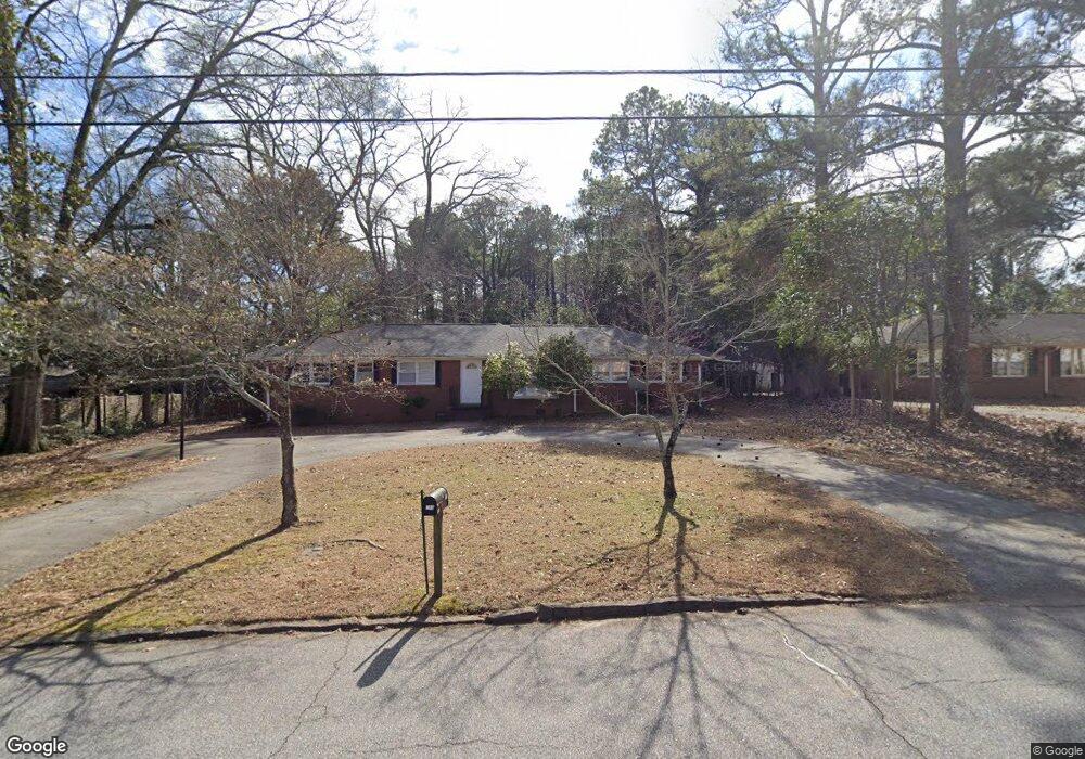
180 Forest Rd Athens, GA 30605
Green - Crestwood NeighborhoodEstimated Value: $275,196 - $300,000
3
Beds
2
Baths
1,639
Sq Ft
$177/Sq Ft
Est. Value
About This Home
This home is located at 180 Forest Rd, Athens, GA 30605 and is currently estimated at $289,549, approximately $176 per square foot. 180 Forest Rd is a home located in Clarke County with nearby schools including Barnett Shoals Elementary School, Hilsman Middle School, and Cedar Shoals High School.
Ownership History
Date
Name
Owned For
Owner Type
Purchase Details
Closed on
Mar 19, 2025
Sold by
Wui Hui-Feng
Bought by
Wu Yu Ming Tr
Current Estimated Value
Purchase Details
Closed on
Aug 11, 2010
Sold by
Branch Banking
Bought by
Wu Hui-Feng
Purchase Details
Closed on
Dec 21, 2009
Sold by
Floyd Richard Thomas
Bought by
Branch Banking
Purchase Details
Closed on
Jun 30, 2006
Sold by
Not Provided
Bought by
Wu Hui-Feng
Purchase Details
Closed on
Jul 31, 1989
Sold by
Athens Fed Savings Bk
Bought by
Gay Jimmy A
Purchase Details
Closed on
Mar 14, 1989
Sold by
Taylor Joseph T
Bought by
Athens Fed Savings Bk
Create a Home Valuation Report for This Property
The Home Valuation Report is an in-depth analysis detailing your home's value as well as a comparison with similar homes in the area
Home Values in the Area
Average Home Value in this Area
Purchase History
| Date | Buyer | Sale Price | Title Company |
|---|---|---|---|
| Wu Yu Ming Tr | -- | -- | |
| Wu Hui-Feng | $100,000 | -- | |
| Branch Banking | -- | -- | |
| Wu Hui-Feng | $144,900 | -- | |
| Gay Jimmy A | $55,000 | -- | |
| Athens Fed Savings Bk | $48,400 | -- |
Source: Public Records
Tax History
| Year | Tax Paid | Tax Assessment Tax Assessment Total Assessment is a certain percentage of the fair market value that is determined by local assessors to be the total taxable value of land and additions on the property. | Land | Improvement |
|---|---|---|---|---|
| 2025 | $1,184 | $81,825 | $14,000 | $67,825 |
| 2024 | $1,194 | $77,222 | $14,000 | $63,222 |
| 2023 | $123 | $71,906 | $14,000 | $57,906 |
| 2022 | $1,292 | $67,127 | $14,000 | $53,127 |
| 2021 | $1,158 | $52,250 | $13,000 | $39,250 |
| 2020 | $1,123 | $49,758 | $13,000 | $36,758 |
| 2019 | $1,092 | $46,803 | $12,000 | $34,803 |
| 2018 | $1,046 | $43,468 | $12,000 | $31,468 |
| 2017 | $1,002 | $40,358 | $12,000 | $28,358 |
| 2016 | $1,322 | $38,940 | $12,000 | $26,940 |
| 2015 | $1,319 | $38,808 | $12,000 | $26,808 |
| 2014 | $1,355 | $39,794 | $12,000 | $27,794 |
Source: Public Records
Map
Nearby Homes
- 352 Greencrest Dr
- 150 Rumson Rd
- 331 Greencrest Dr
- 2535 Barnett Shoals Rd
- 189 Ashbrook Dr
- 337 Georgetown Dr
- 256 Scandia Cir
- 140 Ashbrook Dr
- 29 N Stratford Dr
- 100 Ansonborough Ln
- 100 Ansonborough Ln Unit 703
- 100 Ansonborough Ln Unit 403
- 100 Ansonborough Ln Unit 601
- 431 College Cir
- 42 N Stratford Dr
- 625 Forest Rd
- 345 Research Dr Unit 440
- 345 Research Dr Unit 330
- 345 Research Dr Unit 220
- 1055 College Station Rd
- 170 Forest Rd
- 185 Brookwood Dr
- 140 Forest Rd
- 165 Brookwood Dr
- 145 Brookwood Dr
- 143 Brookwood Dr
- 210 Forest Rd
- 2295 Barnett Shoals Rd
- 135 Brookwood Dr
- 225 Forest Rd
- 160 Brookwood Dr
- 125 Brookwood Dr
- 150 Brookwood Dr
- 110 Lavista Place
- 240 Forest Rd
- 140 Brookwood Dr
- 235 Forest Rd
- 260 Forest Rd
- 2280 S Barnett Shoals Rd
- 115 Brookwood Dr
Your Personal Tour Guide
Ask me questions while you tour the home.