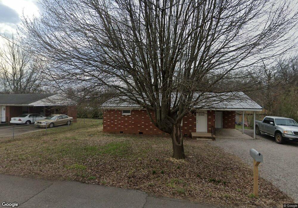
180 Malcomb St Savannah, TN 38372
Estimated Value: $94,824 - $107,000
--
Bed
1
Bath
925
Sq Ft
$108/Sq Ft
Est. Value
About This Home
This home is located at 180 Malcomb St, Savannah, TN 38372 and is currently estimated at $100,206, approximately $108 per square foot. 180 Malcomb St is a home located in Hardin County with nearby schools including Hardin County High School, Hardin County Christian School, and Savannah Christian Academy.
Ownership History
Date
Name
Owned For
Owner Type
Purchase Details
Closed on
May 3, 2024
Sold by
Mcanally Coy L
Bought by
Smith Bradley
Current Estimated Value
Purchase Details
Closed on
Aug 6, 2001
Sold by
Pulse Jimmy
Bought by
Mcanally Donald R
Purchase Details
Closed on
Jun 22, 1999
Sold by
Hight Paul
Bought by
Mcanally Coy
Purchase Details
Closed on
Mar 28, 1995
Bought by
Hight Paul
Purchase Details
Closed on
Jun 7, 1978
Bought by
Gober Gober W and Gober Betty
Purchase Details
Closed on
Oct 11, 1977
Create a Home Valuation Report for This Property
The Home Valuation Report is an in-depth analysis detailing your home's value as well as a comparison with similar homes in the area
Home Values in the Area
Average Home Value in this Area
Purchase History
| Date | Buyer | Sale Price | Title Company |
|---|---|---|---|
| Smith Bradley | $30,000 | None Listed On Document | |
| Mcanally Donald R | -- | -- | |
| Mcanally Coy | $30,000 | -- | |
| Hight Paul | $27,600 | -- | |
| Gober Gober W | -- | -- | |
| -- | -- | -- |
Source: Public Records
Tax History Compared to Growth
Tax History
| Year | Tax Paid | Tax Assessment Tax Assessment Total Assessment is a certain percentage of the fair market value that is determined by local assessors to be the total taxable value of land and additions on the property. | Land | Improvement |
|---|---|---|---|---|
| 2024 | $601 | $24,525 | $2,000 | $22,525 |
| 2023 | $601 | $24,525 | $2,000 | $22,525 |
| 2022 | $319 | $11,575 | $1,675 | $9,900 |
| 2021 | $319 | $11,575 | $1,675 | $9,900 |
| 2020 | $319 | $11,575 | $1,675 | $9,900 |
| 2019 | $319 | $11,575 | $1,675 | $9,900 |
| 2018 | $311 | $11,575 | $1,675 | $9,900 |
| 2017 | $282 | $10,125 | $1,300 | $8,825 |
| 2016 | $282 | $10,125 | $1,300 | $8,825 |
| 2015 | $255 | $10,125 | $1,300 | $8,825 |
| 2014 | $255 | $10,125 | $1,300 | $8,825 |
Source: Public Records
Map
Nearby Homes
- 0 High Pointe Dr Unit 10202679
- 6 High Pointe Dr
- 7 High Pointe Dr
- 105 Pinhook Dr
- 0 Hwy 128 Hwy Unit LotWP001 22873478
- 0 Hwy 128 Hwy Unit RTC2801964
- 0 Hwy 128 Hwy Unit 10143254
- 230 White St
- 7085 Cravens Rd
- 10 Deberry St
- 171 White St
- 190 Turner Kyle Dr
- 530 Main St E
- 165 College St
- 25 Northcutt St
- 250 Ranch St
- 80 Northcutt St
- 00 Enoch Blvd
- 70 Riverside Dr S
- 0 Pickwick St Unit 2501597
- 200 Malcomb St
- 160 Malcomb St
- 140 Malcomb St
- 220 Malcomb St
- 160 High St
- 135 Malcomb St
- 145 Nolan St
- 245 Nolan St
- 250 Malcomb St
- 255 Malcomb St
- 165 Armstrong St
- 0 High Pointe Dr Unit 3141959
- 0 High Pointe Dr Unit 3141957
- 0 High Pointe Dr Unit 3141955
- 0 High Pointe Dr Unit 3141950
- 0 High Pointe Dr Unit 3141933
- 0 High Pointe Dr Unit 3141869
- 0 High Pointe Dr Unit 3141891
- 0 High Pointe Dr Unit 3141879
- 0 High Pointe Dr Unit 3141865