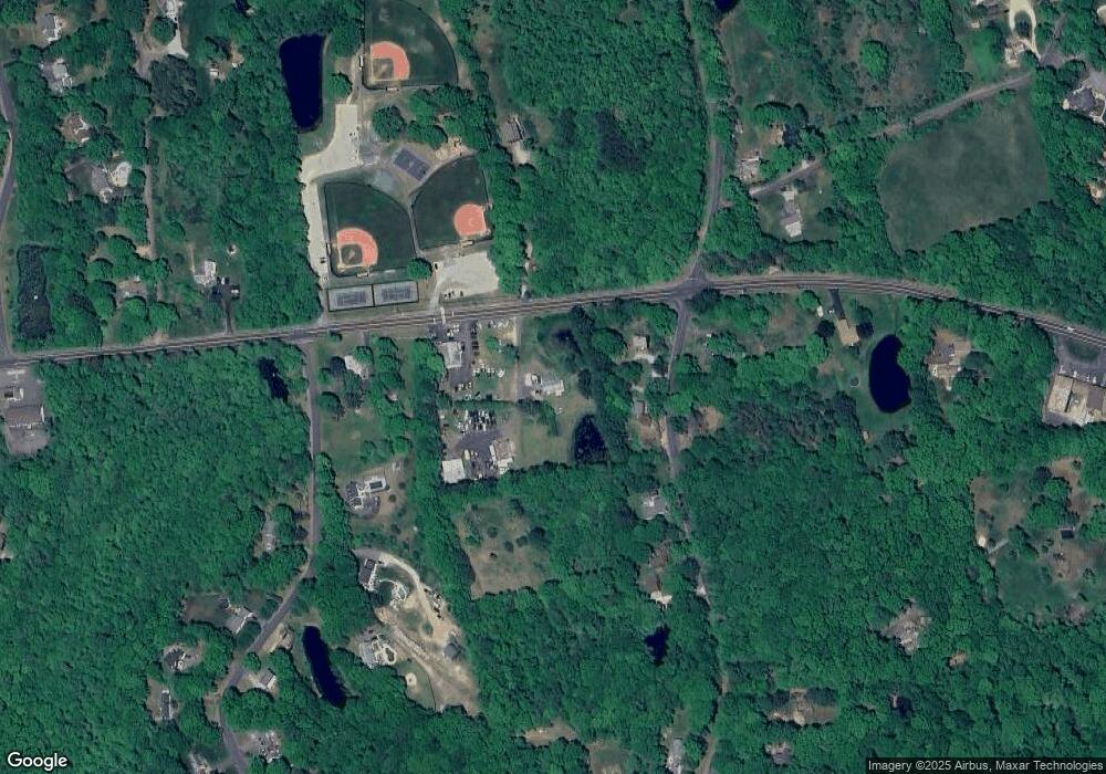
180 Route 80 Killingworth, CT 06419
Estimated Value: $188,912 - $392,000
2
Beds
1
Bath
1,152
Sq Ft
$252/Sq Ft
Est. Value
About This Home
This home is located at 180 Route 80, Killingworth, CT 06419 and is currently estimated at $290,228, approximately $251 per square foot. 180 Route 80 is a home located in Middlesex County with nearby schools including Haddam-Killingworth High School and Haddam-Killingworth Intermediate School.
Ownership History
Date
Name
Owned For
Owner Type
Purchase Details
Closed on
Dec 30, 2020
Sold by
Dawson David R and Burkhardt Diane
Bought by
Clifton Mark S and Clifton Patricia M
Current Estimated Value
Home Financials for this Owner
Home Financials are based on the most recent Mortgage that was taken out on this home.
Original Mortgage
$112,500
Outstanding Balance
$100,389
Interest Rate
2.7%
Mortgage Type
New Conventional
Estimated Equity
$189,839
Purchase Details
Closed on
Jan 17, 2012
Sold by
Burghardt Diane
Bought by
Burghardt Diane and Dawson David
Create a Home Valuation Report for This Property
The Home Valuation Report is an in-depth analysis detailing your home's value as well as a comparison with similar homes in the area
Home Values in the Area
Average Home Value in this Area
Purchase History
| Date | Buyer | Sale Price | Title Company |
|---|---|---|---|
| Clifton Mark S | $125,000 | None Available | |
| Burghardt Diane | -- | -- |
Source: Public Records
Mortgage History
| Date | Status | Borrower | Loan Amount |
|---|---|---|---|
| Open | Burghardt Diane | $55,500 | |
| Open | Clifton Mark S | $112,500 | |
| Previous Owner | Burghardt Diane | $50,000 |
Source: Public Records
Tax History Compared to Growth
Tax History
| Year | Tax Paid | Tax Assessment Tax Assessment Total Assessment is a certain percentage of the fair market value that is determined by local assessors to be the total taxable value of land and additions on the property. | Land | Improvement |
|---|---|---|---|---|
| 2025 | $3,395 | $129,500 | $65,660 | $63,840 |
| 2024 | $3,136 | $129,500 | $65,660 | $63,840 |
| 2023 | $3,039 | $129,500 | $65,660 | $63,840 |
| 2022 | $3,007 | $129,500 | $65,660 | $63,840 |
| 2021 | $3,362 | $125,820 | $69,090 | $56,730 |
| 2020 | $3,362 | $125,820 | $69,090 | $56,730 |
| 2019 | $3,456 | $125,820 | $69,090 | $56,730 |
| 2018 | $3,456 | $125,820 | $69,090 | $56,730 |
| 2017 | $3,456 | $125,820 | $69,090 | $56,730 |
| 2016 | $4,053 | $156,560 | $108,040 | $48,520 |
| 2015 | $3,950 | $156,560 | $108,040 | $48,520 |
| 2014 | $3,840 | $156,560 | $108,040 | $48,520 |
Source: Public Records
Map
Nearby Homes
- 37 Titus Coan Rd
- 179 Route 81
- 262 Connecticut 81
- 115 Hemlock Dr
- 14 Kenilworth Dr
- 33 Whitewood Rd
- 10 Whitewood Rd
- 11 Pleasant Trail
- 24 Boulder Trail
- 25 Roast Meat Hill Rd
- 25 Kelseytown Bridge Rd
- 0 Kelseytown Bridge Rd
- 4 Laurel Ln
- 275 Route 148
- 538 Winthrop Rd
- 8 Butter Jones Rd
- 248 Cow Hill Rd
- 11 Silver Birch Ln
- 244 Cow Hill Rd
- 511 Route 81
- 234 Roast Meat Hill Rd
- 182 Route 80
- 228 Roast Meat Hill Rd
- 233 Roast Meat Hill Rd
- 196 Route 80
- 224 Roast Meat Hill Rd
- 8 Warwickshire Dr
- 179 Route 80
- 243 Roast Meat Hill Rd
- 5 Reservoir Rd
- 162 Route 80
- 10 Warwickshire Dr
- 9 Warwickshire Dr
- 12 Warwickshire Dr
- 254 Roast Meat Hill Rd
- 156 Route 80
- 212 Roast Meat Hill Rd
- 217 Roast Meat Hill Rd
- 18 Warwickshire Dr
- 13 Warwickshire Dr
