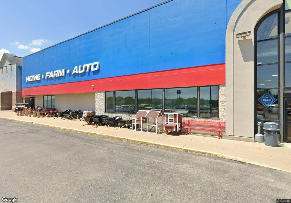
1800 51st St NE Cedar Rapids, IA 52402
Noelridge Park NeighborhoodEstimated Value: $12,181,654
--
Bed
--
Bath
110,000
Sq Ft
$111/Sq Ft
Est. Value
About This Home
This home is located at 1800 51st St NE, Cedar Rapids, IA 52402 and is currently priced at $12,181,654, approximately $110 per square foot. 1800 51st St NE is a home located in Linn County with nearby schools including T.C. Cherry Elementary School, Wright Elementary School, and Harding Middle School.
Ownership History
Date
Name
Owned For
Owner Type
Purchase Details
Closed on
Jul 18, 2012
Sold by
Miller James T and Miller Gail E
Bought by
Miller James T and The James T Miller Living Trust
Current Estimated Value
Purchase Details
Closed on
Jul 9, 2012
Sold by
Miller James T and Miller Gail E
Bought by
Miller James T and James T Miller Living Trust
Purchase Details
Closed on
Mar 19, 2010
Sold by
51St Street Lc
Bought by
Theisen Real Estate Llc
Create a Home Valuation Report for This Property
The Home Valuation Report is an in-depth analysis detailing your home's value as well as a comparison with similar homes in the area
Home Values in the Area
Average Home Value in this Area
Purchase History
| Date | Buyer | Sale Price | Title Company |
|---|---|---|---|
| Miller James T | -- | None Available | |
| Miller James T | -- | None Available | |
| Theisen Real Estate Llc | $5,499,500 | None Available |
Source: Public Records
Tax History Compared to Growth
Tax History
| Year | Tax Paid | Tax Assessment Tax Assessment Total Assessment is a certain percentage of the fair market value that is determined by local assessors to be the total taxable value of land and additions on the property. | Land | Improvement |
|---|---|---|---|---|
| 2025 | $156,048 | $5,699,000 | $1,100,000 | $4,599,000 |
| 2024 | $156,048 | -- | -- | -- |
| 2023 | $156,048 | $5,433,700 | $1,100,700 | $4,333,000 |
| 2022 | $153,926 | $4,551,500 | $1,100,700 | $3,450,800 |
| 2021 | $164,816 | $8,002,300 | $1,100,700 | $6,901,600 |
| 2020 | $164,816 | $8,452,300 | $1,086,700 | $7,365,600 |
| 2019 | $159,402 | $4,769,500 | $1,086,700 | $3,682,800 |
| 2018 | $158,624 | $4,769,500 | $1,086,700 | $3,682,800 |
| 2017 | $155,996 | $4,629,700 | $1,086,700 | $3,543,000 |
| 2016 | $159,221 | $4,629,700 | $1,086,700 | $3,543,000 |
| 2015 | $166,376 | $4,841,993 | $1,086,660 | $3,755,333 |
| 2014 | $163,970 | $4,841,993 | $1,086,660 | $3,755,333 |
| 2013 | $175,146 | $4,841,993 | $1,086,660 | $3,755,333 |
Source: Public Records
Map
Nearby Homes
- 1638 47th St NE
- 1006 Messina Dr NE
- 1138 Messina Dr NE
- 109 E Willman St
- 105 W Willman St
- 5455 Blairs Ferry Rd NE
- 4309 Benton St NE
- 327 Meadows Field Dr NE
- 250 Cimarron Dr Unit 311
- 1 N Center Point Rd
- 3 N Center Point Rd
- 0 Council St NE
- 2106 42nd St NE
- 6505 Brookview Ln NE
- 4609 White Pine Dr NE
- 4216 Marilyn Dr NE
- 1101 Dover St NE
- 915 Suburban St NE
- 4523 Regal Ave NE
- 114 Northwood Dr
- 1717 51st St NE
- 1936 51st St NE
- 1920 51st St NE
- 1853 51st St NE Unit 3
- 1853 51st St NE Unit 1
- 1853 51st St NE Unit 2
- 1853 51st St NE
- 5527 Crane Ln NE Unit A
- 5527 Crane Ln NE
- 1641 51st St NE
- 1960 51st St NE
- 1933 51st St NE
- 5100 Center Point Rd NE
- 5400 Center Point Rd NE
- 5400 Center Point Rd NE Unit A
- 5400 Center Point Rd NE Unit 2
- 5400 Center Point Rd NE Unit 3
- 5400 Center Point Rd NE Unit B
- 5400 Center Point Rd NE Unit 1
- 1618 Collins Rd NE