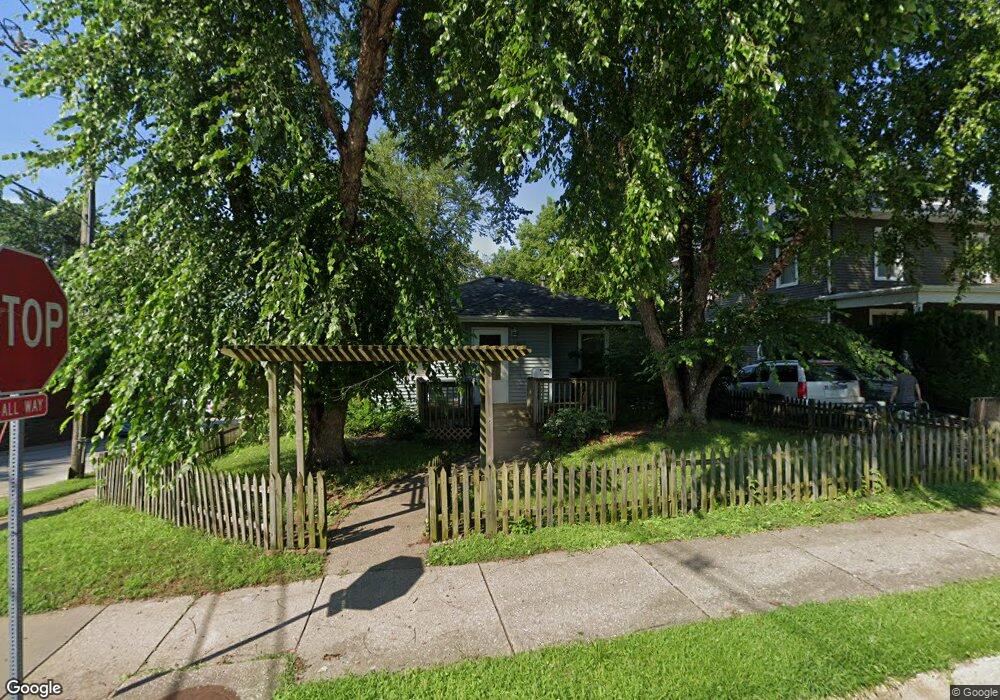
1800 Mulberry Ave Muscatine, IA 52761
Estimated Value: $163,930 - $184,000
3
Beds
2
Baths
1,224
Sq Ft
$141/Sq Ft
Est. Value
About This Home
This home is located at 1800 Mulberry Ave, Muscatine, IA 52761 and is currently estimated at $172,233, approximately $140 per square foot. 1800 Mulberry Ave is a home located in Muscatine County with nearby schools including Grant Elementary School, Central Middle School, and Muscatine High School.
Ownership History
Date
Name
Owned For
Owner Type
Purchase Details
Closed on
Nov 25, 2008
Sold by
Bantz Jackie K
Bought by
Henson James and Henson Elsie E
Current Estimated Value
Home Financials for this Owner
Home Financials are based on the most recent Mortgage that was taken out on this home.
Original Mortgage
$65,000
Interest Rate
6.48%
Mortgage Type
New Conventional
Create a Home Valuation Report for This Property
The Home Valuation Report is an in-depth analysis detailing your home's value as well as a comparison with similar homes in the area
Home Values in the Area
Average Home Value in this Area
Purchase History
| Date | Buyer | Sale Price | Title Company |
|---|---|---|---|
| Henson James | $85,000 | None Available |
Source: Public Records
Mortgage History
| Date | Status | Borrower | Loan Amount |
|---|---|---|---|
| Closed | Henson James | $65,000 |
Source: Public Records
Tax History Compared to Growth
Tax History
| Year | Tax Paid | Tax Assessment Tax Assessment Total Assessment is a certain percentage of the fair market value that is determined by local assessors to be the total taxable value of land and additions on the property. | Land | Improvement |
|---|---|---|---|---|
| 2025 | $2,310 | $137,790 | $19,800 | $117,990 |
| 2024 | $2,310 | $137,630 | $19,800 | $117,830 |
| 2023 | $2,240 | $139,210 | $19,822 | $119,388 |
| 2022 | $2,098 | $122,800 | $18,700 | $104,100 |
| 2021 | $2,098 | $111,820 | $18,700 | $93,120 |
| 2020 | $2,056 | $106,650 | $18,700 | $87,950 |
| 2019 | $2,044 | $101,040 | $0 | $0 |
| 2018 | $2,012 | $101,040 | $0 | $0 |
| 2017 | $2,012 | $101,040 | $0 | $0 |
| 2016 | $2,088 | $101,040 | $0 | $0 |
| 2015 | $2,088 | $100,320 | $0 | $0 |
| 2014 | $2,086 | $100,320 | $0 | $0 |
Source: Public Records
Map
Nearby Homes
- 1807 Mulberry Ave
- 310 Wood Creek Ln
- 297 Burnside Ave
- 606 Leroy St
- 205 Amherst Ave
- 709 Leroy St
- 1102 Cedar St
- 602 W Fulliam Ave
- 898 Leroy St
- 1012 Orange St
- 1506 Buell St
- 518 Roscoe Ave
- 1017 Oak St
- 35 Colony Dr
- 901 E 11th St
- 241 Dillaway St
- 2020 Bidwell Rd
- PARCEL ID 0834280023 Dillaway St
- 403 E 8th St
- 213 E 8th St
- 1804 Mulberry Ave
- 417 Parham St
- 1708 Mulberry Ave
- 415 Parham St
- 1624 Mulberry Ave
- 1801 Mulberry Ave
- 1620 Mulberry Ave
- 1707 Mulberry Ave
- 1803 Mulberry Ave
- 414 Parham St
- 1805 Mulberry Ave
- 1810 Mulberry Ave
- 1623 Mulberry Ave
- 1618 Mulberry Ave
- 1801 Briarwood Ln
- 410 Parham St
- 1805 Briarwood Ln
- 1621 Mulberry Ave
- 408 Parham St
- 1619 Mulberry Ave