18000 Eltham Rd West Point, VA 23181
Estimated Value: $1,142,002
Studio
--
Bath
9,775
Sq Ft
$117/Sq Ft
Est. Value
About This Home
This home is located at 18000 Eltham Rd, West Point, VA 23181 and is currently estimated at $1,142,002, approximately $116 per square foot. 18000 Eltham Rd is a home located in New Kent County with nearby schools including New Kent High School.
Ownership History
Date
Name
Owned For
Owner Type
Purchase Details
Closed on
Mar 28, 2024
Sold by
Caruso Properties Llc
Bought by
Caruso Real Estate Llc
Current Estimated Value
Home Financials for this Owner
Home Financials are based on the most recent Mortgage that was taken out on this home.
Original Mortgage
$1,300,000
Outstanding Balance
$1,283,409
Interest Rate
7.7%
Mortgage Type
Reverse Mortgage Home Equity Conversion Mortgage
Estimated Equity
-$141,407
Create a Home Valuation Report for This Property
The Home Valuation Report is an in-depth analysis detailing your home's value as well as a comparison with similar homes in the area
Purchase History
| Date | Buyer | Sale Price | Title Company |
|---|---|---|---|
| Caruso Real Estate Llc | $1,100,000 | Fidelity National Title |
Source: Public Records
Mortgage History
| Date | Status | Borrower | Loan Amount |
|---|---|---|---|
| Open | Caruso Real Estate Llc | $1,300,000 | |
| Closed | Caruso Real Estate Llc | $1,000,000 |
Source: Public Records
Tax History
| Year | Tax Paid | Tax Assessment Tax Assessment Total Assessment is a certain percentage of the fair market value that is determined by local assessors to be the total taxable value of land and additions on the property. | Land | Improvement |
|---|---|---|---|---|
| 2025 | $6,492 | $1,082,000 | $600,100 | $481,900 |
| 2024 | $6,384 | $1,082,000 | $600,100 | $481,900 |
| 2023 | $5,583 | $833,300 | $517,900 | $315,400 |
| 2022 | $5,583 | $833,300 | $517,900 | $315,400 |
| 2021 | $6,230 | $788,600 | $461,400 | $327,200 |
| 2020 | $6,230 | $788,600 | $461,400 | $327,200 |
| 2019 | $60 | $735,000 | $411,000 | $324,000 |
| 2018 | $60 | $735,000 | $411,000 | $324,000 |
| 2017 | $4,548 | $726,300 | $420,100 | $306,200 |
| 2016 | $4,548 | $548,000 | $420,100 | $127,900 |
| 2015 | $4,021 | $529,300 | $404,200 | $125,100 |
| 2014 | -- | $478,700 | $404,200 | $74,500 |
Source: Public Records
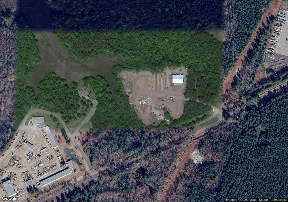
Map
Nearby Homes
- 8112 Curle Dr
- 8325 Mill Creek Rd Unit A
- 19543 Westall Ln
- 19390 York Rd
- Lot 52G Georgia Ave
- 7957 Pennsylvania Ave
- 7969 Pennsylvania Ave
- 5.1+AC High Bluff Ln
- 6240 Farmers Dr
- 811 Kirby St
- 813 Kirby St
- 815 Kirby St
- 418 4th St
- 1216 Main St
- 621 Lee St
- 4090 Dogwood Dr
- na 17th St
- 419 18th St
- 1515 Lee St
- 230 Glen St
- 79 ACR Eltham Rd
- 18048 Eltham Rd
- 7481 Theron Rd
- 7450 Ready Mix Dr
- 7480 Ready Mix Dr
- 7471 Ready Mix Dr
- 7475 Ready Mix Dr
- 7701 Parham Landing
- 7840 Parham Landing Rd
- 17389 Eltham Rd
- 7800 Parham Landing
- 18430 Eltham Rd
- 18501 Eltham Rd
- 0 Eltham Rd Unit 30013770
- 0 Eltham Rd Unit 30019284
- 0 Eltham Rd Unit 30021992
- 0 Eltham Rd Unit 30031333
- 0 Eltham Rd Unit 30035244
- 0 Eltham Rd Unit 30041604
- 0 Eltham Rd Unit 2730878
Your Personal Tour Guide
Ask me questions while you tour the home.