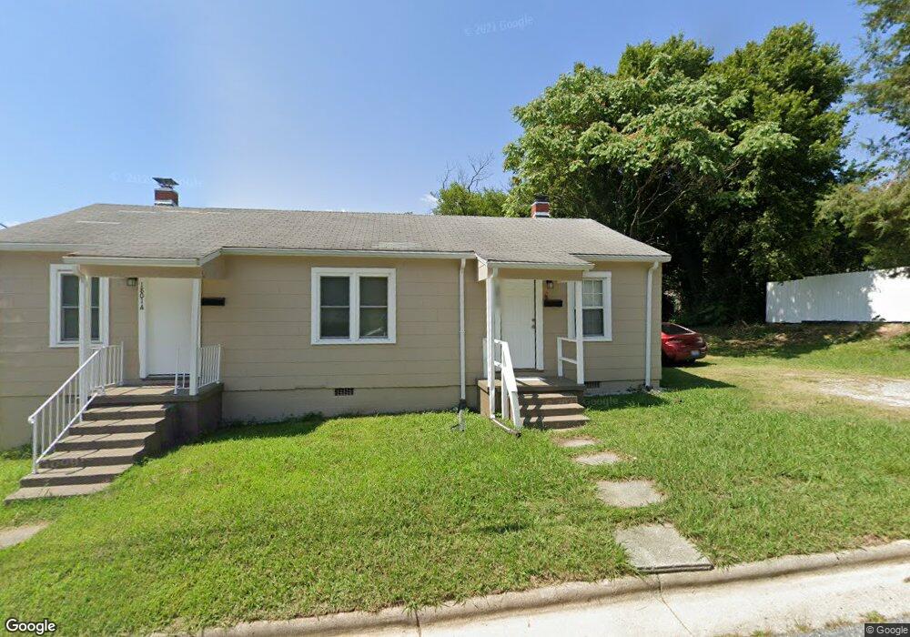
1801 Brooks Ave High Point, NC 27260
Greater High Point NeighborhoodEstimated Value: $94,000 - $158,000
2
Beds
2
Baths
1,070
Sq Ft
$111/Sq Ft
Est. Value
About This Home
This home is located at 1801 Brooks Ave, High Point, NC 27260 and is currently estimated at $118,667, approximately $110 per square foot. 1801 Brooks Ave is a home located in Guilford County with nearby schools including Parkview Village Elementary School, Southwest Guilford Middle School, and Southwest Guilford High School.
Ownership History
Date
Name
Owned For
Owner Type
Purchase Details
Closed on
May 31, 2016
Bought by
Tran Hanh Thi
Current Estimated Value
Purchase Details
Closed on
Mar 31, 2016
Sold by
Rentdog Llc
Bought by
Tran Julie Ha and Tran Hanh Thi
Purchase Details
Closed on
Jun 29, 2012
Bought by
3 Deez Llc
Purchase Details
Closed on
Jul 10, 2006
Sold by
Vileno Darla Jo
Bought by
Vileno Donald P
Purchase Details
Closed on
Mar 20, 1998
Sold by
Leak O H and Leak Vernelle M
Bought by
Abraham Daniel R and Abraham Catherine D
Create a Home Valuation Report for This Property
The Home Valuation Report is an in-depth analysis detailing your home's value as well as a comparison with similar homes in the area
Home Values in the Area
Average Home Value in this Area
Purchase History
| Date | Buyer | Sale Price | Title Company |
|---|---|---|---|
| Tran Hanh Thi | $260,000 | -- | |
| Tran Julie Ha | $260,000 | None Available | |
| 3 Deez Llc | -- | -- | |
| Vileno Donald P | -- | None Available | |
| Abraham Daniel R | $19,500 | -- |
Source: Public Records
Tax History
| Year | Tax Paid | Tax Assessment Tax Assessment Total Assessment is a certain percentage of the fair market value that is determined by local assessors to be the total taxable value of land and additions on the property. | Land | Improvement |
|---|---|---|---|---|
| 2025 | $508 | $36,900 | $14,000 | $22,900 |
| 2024 | $508 | $36,900 | $14,000 | $22,900 |
| 2023 | $508 | $36,900 | $14,000 | $22,900 |
| 2022 | $497 | $36,900 | $14,000 | $22,900 |
| 2021 | $397 | $28,800 | $11,000 | $17,800 |
| 2020 | $397 | $28,800 | $11,000 | $17,800 |
| 2019 | $397 | $28,800 | $0 | $0 |
| 2018 | $395 | $28,800 | $0 | $0 |
| 2017 | $395 | $28,800 | $0 | $0 |
| 2016 | $390 | $27,800 | $0 | $0 |
| 2015 | $392 | $27,800 | $0 | $0 |
| 2014 | $399 | $27,800 | $0 | $0 |
Source: Public Records
Map
Nearby Homes
- 1508 Boundary Ave
- 1602 Boundary Ave
- 1604 Boundary Ave
- 1606 Boundary Ave
- 205 Beach St
- 1308 Boundary Ave
- 1012 Meadowbrook Blvd
- 1504 East Ave
- 1506 East Ave
- 410 Meredith St
- 511 Saunders Place Unit A & B
- 513 Saunders Place Unit A & B
- 412 Meredith St
- 1224 S Downing St
- 230 Windley St
- 1702 Brockett Ave
- 505 Kent Ct
- 1707 Brockett Ave
- 114 Eccles Place
- 1208 Hoover Ave
- 202 Hoskins St
- 204 Hoskins St
- 1807 Brooks Ave
- 303 Murray St
- 118 Hoskins St
- 120 Hoskins St
- 305 Murray St
- 206 Hoskins St
- 1730 Brooks Ave
- 1730 Brooks Ave Unit A
- 116 Hoskins St
- 307 Murray St
- 209 Murray St
- 208 Hoskins St
- 309 Murray St
- 1717 Brooks Ave
- 207 Murray St
- 1724 Brooks Ave
- 1724 Brooks Ave Unit A & B
- 114 Hoskins St
Your Personal Tour Guide
Ask me questions while you tour the home.