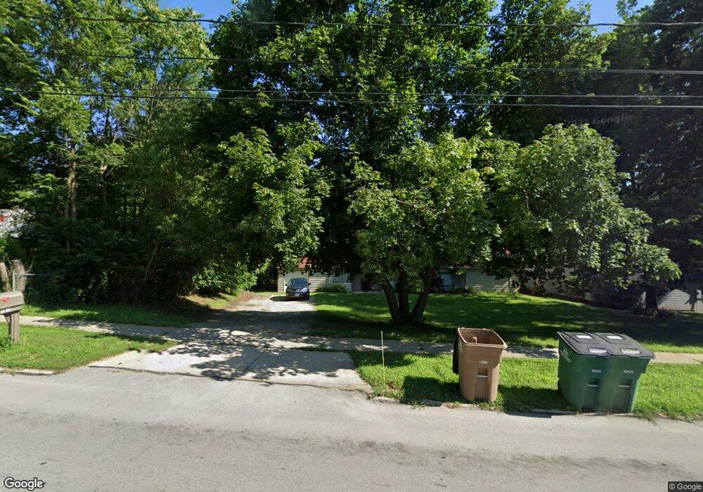
1801 Buffalo Rd West Des Moines, IA 50265
Estimated Value: $220,000 - $282,000
3
Beds
2
Baths
1,698
Sq Ft
$154/Sq Ft
Est. Value
About This Home
This home is located at 1801 Buffalo Rd, West Des Moines, IA 50265 and is currently estimated at $262,093, approximately $154 per square foot. 1801 Buffalo Rd is a home located in Polk County with nearby schools including Indian Hills Junior High School, Valley Southwoods Freshman High School, and Valley High School.
Ownership History
Date
Name
Owned For
Owner Type
Purchase Details
Closed on
Oct 15, 2015
Sold by
Us Bank Na
Bought by
Cjp Futures Llc
Current Estimated Value
Purchase Details
Closed on
Aug 12, 2011
Sold by
Newton Jason Brent and Newton Crandall
Bought by
Crandall Randolph T
Home Financials for this Owner
Home Financials are based on the most recent Mortgage that was taken out on this home.
Original Mortgage
$126,704
Interest Rate
4.75%
Mortgage Type
FHA
Create a Home Valuation Report for This Property
The Home Valuation Report is an in-depth analysis detailing your home's value as well as a comparison with similar homes in the area
Home Values in the Area
Average Home Value in this Area
Purchase History
| Date | Buyer | Sale Price | Title Company |
|---|---|---|---|
| Cjp Futures Llc | $122,120 | None Available | |
| Crandall Randolph T | $129,500 | None Available |
Source: Public Records
Mortgage History
| Date | Status | Borrower | Loan Amount |
|---|---|---|---|
| Previous Owner | Crandall Randolph T | $126,704 |
Source: Public Records
Tax History Compared to Growth
Tax History
| Year | Tax Paid | Tax Assessment Tax Assessment Total Assessment is a certain percentage of the fair market value that is determined by local assessors to be the total taxable value of land and additions on the property. | Land | Improvement |
|---|---|---|---|---|
| 2025 | $2,562 | $180,900 | $74,900 | $106,000 |
| 2024 | $2,562 | $161,600 | $65,600 | $96,000 |
| 2023 | $2,542 | $161,600 | $65,600 | $96,000 |
| 2022 | $2,512 | $131,600 | $55,100 | $76,500 |
| 2021 | $2,394 | $131,600 | $55,100 | $76,500 |
| 2020 | $2,358 | $119,400 | $49,500 | $69,900 |
| 2019 | $2,252 | $119,400 | $49,500 | $69,900 |
| 2018 | $2,256 | $109,900 | $44,500 | $65,400 |
| 2017 | $2,192 | $109,900 | $44,500 | $65,400 |
| 2016 | $1,964 | $103,700 | $41,200 | $62,500 |
| 2015 | $1,964 | $103,700 | $41,200 | $62,500 |
| 2014 | $1,950 | $101,900 | $39,600 | $62,300 |
Source: Public Records
Map
Nearby Homes
- 1705 Buffalo Rd
- 1625 19th St
- 3927 Westgate Pkwy
- 4052 NW 175th St
- 3945 Westgate Pkwy
- 3963 Westgate Pkwy
- 1827 Pleasant St
- 1808 80th St
- 1230 16th St
- 1710 Plaza Cir
- 1233 72nd St
- 2408 Pleasant St
- 1474 NW 90th St
- 8011 Northwest Dr
- 542 Bella St
- 8833 Luin Dr
- 1516 73rd St
- 1841 NW 89th Ct
- 1824 NW 90th St
- 1114 22nd St