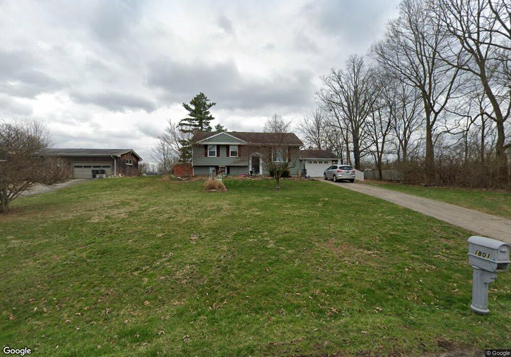
1801 Devon Dr Springfield, OH 45503
Estimated Value: $208,678 - $251,000
3
Beds
2
Baths
1,110
Sq Ft
$207/Sq Ft
Est. Value
About This Home
This home is located at 1801 Devon Dr, Springfield, OH 45503 and is currently estimated at $229,920, approximately $207 per square foot. 1801 Devon Dr is a home located in Clark County with nearby schools including Northridge Elementary School, Kenton Ridge Middle & High School, and Emmanuel Christian Academy.
Ownership History
Date
Name
Owned For
Owner Type
Purchase Details
Closed on
Jan 30, 2003
Sold by
Wagoner Roger B and Wagoner Opal
Bought by
Collins George F and Collins April D
Current Estimated Value
Home Financials for this Owner
Home Financials are based on the most recent Mortgage that was taken out on this home.
Original Mortgage
$128,981
Outstanding Balance
$54,461
Interest Rate
6.13%
Mortgage Type
FHA
Estimated Equity
$175,459
Purchase Details
Closed on
Aug 22, 2000
Sold by
Troyer Josephine M and Troyer Josephine
Bought by
Wagoner Roger B and Wagoner Opal
Home Financials for this Owner
Home Financials are based on the most recent Mortgage that was taken out on this home.
Original Mortgage
$27,000
Interest Rate
8.12%
Mortgage Type
Purchase Money Mortgage
Create a Home Valuation Report for This Property
The Home Valuation Report is an in-depth analysis detailing your home's value as well as a comparison with similar homes in the area
Home Values in the Area
Average Home Value in this Area
Purchase History
| Date | Buyer | Sale Price | Title Company |
|---|---|---|---|
| Collins George F | $130,000 | -- | |
| Wagoner Roger B | $75,000 | -- |
Source: Public Records
Mortgage History
| Date | Status | Borrower | Loan Amount |
|---|---|---|---|
| Open | Collins George F | $128,981 | |
| Closed | Wagoner Roger B | $27,000 |
Source: Public Records
Tax History
| Year | Tax Paid | Tax Assessment Tax Assessment Total Assessment is a certain percentage of the fair market value that is determined by local assessors to be the total taxable value of land and additions on the property. | Land | Improvement |
|---|---|---|---|---|
| 2025 | $2,511 | $61,030 | $13,270 | $47,760 |
| 2024 | $2,429 | $57,430 | $11,640 | $45,790 |
| 2023 | $2,429 | $57,430 | $11,640 | $45,790 |
| 2022 | $2,438 | $57,430 | $11,640 | $45,790 |
| 2021 | $2,043 | $40,800 | $8,310 | $32,490 |
| 2020 | $2,045 | $40,800 | $8,310 | $32,490 |
| 2019 | $2,084 | $40,800 | $8,310 | $32,490 |
| 2018 | $1,996 | $37,500 | $7,900 | $29,600 |
| 2017 | $1,710 | $40,362 | $7,896 | $32,466 |
| 2016 | $1,698 | $40,362 | $7,896 | $32,466 |
| 2015 | $1,939 | $40,779 | $8,313 | $32,466 |
| 2014 | $1,939 | $40,779 | $8,313 | $32,466 |
| 2013 | $1,894 | $40,779 | $8,313 | $32,466 |
Source: Public Records
Map
Nearby Homes
- 1811 Devon Dr
- 2529 Marinette Dr
- 1924 Marinette Dr
- 2400 Thor Dr
- 1516 Hyannis Dr
- 2043 Providence Ave
- 3214 Revels St
- 1628 Yorkshire Ct
- 3300 Revels St
- 2553 Derr Rd
- 1948 Falmouth Ave
- 2022 Westboro Ave
- 1046 Fruitland Rd
- 3124 El Camino Dr
- 2153 Olympic St Unit 2153
- 1705 Magnolia Blvd
- 2861 Ashlar Dr
- 1032 Armsgate Rd
- 3135 Imperial Blvd
- 1040 Carson Ln
- 1830 Granada Dr
- 1819 Devon Dr
- 1800 Devon Dr
- 1810 Devon Dr
- 2509 Brookside Dr
- 1818 Devon Dr
- 1820 Granada Dr
- 0 Granada Dr
- 2505 Brookside Dr
- 1834 Devon Dr
- 1721 Thrawn Rd
- 1731 Thrawn Rd
- 1839 Granada Dr
- 1741 Thrawn Rd
- 1858 Devon Dr
- 1902 Granada Dr
- 1849 Granada Dr
- 2613 Marinette Dr
- 1827 Devon Dr
- 1914 Granada Dr
Your Personal Tour Guide
Ask me questions while you tour the home.