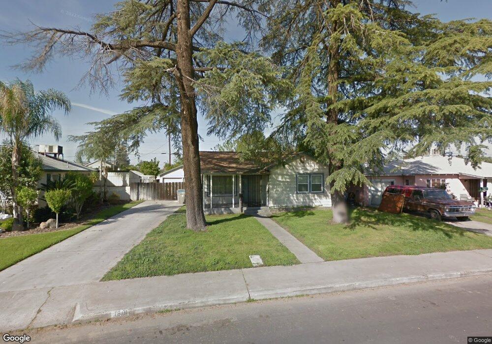
1801 Kenmore Dr W Fresno, CA 93703
McLane NeighborhoodEstimated Value: $270,000 - $345,000
3
Beds
1
Bath
912
Sq Ft
$322/Sq Ft
Est. Value
About This Home
This home is located at 1801 Kenmore Dr W, Fresno, CA 93703 and is currently estimated at $293,909, approximately $322 per square foot. 1801 Kenmore Dr W is a home located in Fresno County with nearby schools including Wishon Elementary School, Scandinavian Middle School, and Mclane High School.
Ownership History
Date
Name
Owned For
Owner Type
Purchase Details
Closed on
May 28, 2020
Sold by
Sobaje Property Group Inc
Bought by
Carranza Marcus Joaquin and Fabela Valerie Jeannette
Current Estimated Value
Home Financials for this Owner
Home Financials are based on the most recent Mortgage that was taken out on this home.
Original Mortgage
$186,558
Outstanding Balance
$165,678
Interest Rate
3.3%
Mortgage Type
FHA
Estimated Equity
$128,231
Purchase Details
Closed on
Oct 14, 2019
Sold by
Snow Jimmie Richard
Bought by
Sobaje Property Group Inc
Purchase Details
Closed on
Dec 19, 1996
Sold by
Bonesteel Jack R and Bonesteel Cecelia J
Bought by
Snow Jimmie Richard
Home Financials for this Owner
Home Financials are based on the most recent Mortgage that was taken out on this home.
Original Mortgage
$49,949
Interest Rate
7.59%
Mortgage Type
FHA
Create a Home Valuation Report for This Property
The Home Valuation Report is an in-depth analysis detailing your home's value as well as a comparison with similar homes in the area
Home Values in the Area
Average Home Value in this Area
Purchase History
| Date | Buyer | Sale Price | Title Company |
|---|---|---|---|
| Carranza Marcus Joaquin | $190,000 | Chicago Title Company | |
| Sobaje Property Group Inc | $106,000 | First American Title Company | |
| Snow Jimmie Richard | $50,000 | Commonwealth Land Title Ins |
Source: Public Records
Mortgage History
| Date | Status | Borrower | Loan Amount |
|---|---|---|---|
| Open | Carranza Marcus Joaquin | $186,558 | |
| Previous Owner | Snow Jimmie Richard | $49,949 |
Source: Public Records
Tax History Compared to Growth
Tax History
| Year | Tax Paid | Tax Assessment Tax Assessment Total Assessment is a certain percentage of the fair market value that is determined by local assessors to be the total taxable value of land and additions on the property. | Land | Improvement |
|---|---|---|---|---|
| 2025 | $2,542 | $207,790 | $54,681 | $153,109 |
| 2023 | $2,494 | $199,722 | $52,558 | $147,164 |
| 2022 | $2,461 | $195,807 | $51,528 | $144,279 |
| 2021 | $2,393 | $191,968 | $50,518 | $141,450 |
| 2020 | $1,342 | $106,000 | $50,000 | $56,000 |
| 2019 | $829 | $72,980 | $29,190 | $43,790 |
| 2018 | $810 | $71,550 | $28,618 | $42,932 |
| 2017 | $795 | $70,148 | $28,057 | $42,091 |
| 2016 | $768 | $68,773 | $27,507 | $41,266 |
| 2015 | $755 | $67,741 | $27,094 | $40,647 |
| 2014 | $740 | $66,415 | $26,564 | $39,851 |
Source: Public Records
Map
Nearby Homes
- 2042 Mayfair Dr E
- 2240
- 0 Tba Unit 634245
- 2154 Norris Dr E
- 3514 Mayfair Dr N
- 4054 Arden Dr S
- 3256 Mayfair Blvd
- 3404 E Home Ave
- 3803 E Clinton Ave
- 2044 Mayfair Dr W
- 3345 E Floradora Ave
- 3140 E Weldon Ave
- 3415 E Terrace Ave
- 3250 E Clinton Ave
- 2126 N First St
- 2136 N First St
- 2128 N First St
- 4318 E Fairfax Ave
- 2414 N 1st St
- 2513 N 2nd St
- 1805 Kenmore Dr W
- 1811 Kenmore Dr W
- 1725 Kenmore Dr W
- 1715 Kenmore Dr W
- 1821 Kenmore Dr W
- 1802 Kenmore Dr W
- 1831 Kenmore Dr W
- 1701 Kenmore Dr W
- 1718 Kenmore Dr W
- 1812 Kenmore Dr W
- 1661 N 7th St
- 1701 N 7th St
- 1841 Kenmore Dr W
- 1842 Mayfair Dr E
- 1715 N 7th St
- 1852 Mayfair Dr E
- 1834 Kenmore Dr W
- 1862 Mayfair Dr E
- 1815 Arden Dr W
- 1832 Mayfair Dr E