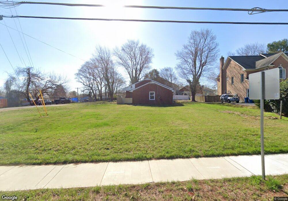
1801 Kirby Rd McLean, VA 22101
Estimated Value: $1,182,000 - $1,752,000
3
Beds
2
Baths
1,274
Sq Ft
$1,148/Sq Ft
Est. Value
About This Home
This home is located at 1801 Kirby Rd, McLean, VA 22101 and is currently estimated at $1,462,716, approximately $1,148 per square foot. 1801 Kirby Rd is a home located in Fairfax County with nearby schools including Chesterbrook Elementary School, Longfellow Middle School, and McLean High School.
Ownership History
Date
Name
Owned For
Owner Type
Purchase Details
Closed on
Oct 8, 2020
Sold by
Onufrychuk Michael and Onufrychuk William S
Bought by
Carrmichael Construction Llc
Current Estimated Value
Home Financials for this Owner
Home Financials are based on the most recent Mortgage that was taken out on this home.
Original Mortgage
$1,215,240
Outstanding Balance
$1,080,891
Interest Rate
2.9%
Mortgage Type
Construction
Estimated Equity
$381,825
Create a Home Valuation Report for This Property
The Home Valuation Report is an in-depth analysis detailing your home's value as well as a comparison with similar homes in the area
Home Values in the Area
Average Home Value in this Area
Purchase History
| Date | Buyer | Sale Price | Title Company |
|---|---|---|---|
| Carrmichael Construction Llc | $660,000 | Centerview Title Group Llc |
Source: Public Records
Mortgage History
| Date | Status | Borrower | Loan Amount |
|---|---|---|---|
| Open | Carrmichael Construction Llc | $1,215,240 |
Source: Public Records
Tax History Compared to Growth
Tax History
| Year | Tax Paid | Tax Assessment Tax Assessment Total Assessment is a certain percentage of the fair market value that is determined by local assessors to be the total taxable value of land and additions on the property. | Land | Improvement |
|---|---|---|---|---|
| 2025 | $11,978 | $983,320 | $573,000 | $410,320 |
| 2024 | $11,978 | $1,013,820 | $603,000 | $410,820 |
| 2023 | $11,409 | $990,820 | $580,000 | $410,820 |
| 2022 | $9,792 | $839,420 | $473,000 | $366,420 |
| 2021 | $9,066 | $757,680 | $426,000 | $331,680 |
| 2020 | $8,800 | $729,370 | $406,000 | $323,370 |
| 2019 | $8,800 | $729,370 | $406,000 | $323,370 |
| 2018 | $7,951 | $691,400 | $383,000 | $308,400 |
| 2017 | $8,093 | $683,490 | $378,000 | $305,490 |
| 2016 | $7,923 | $670,590 | $374,000 | $296,590 |
| 2015 | $7,069 | $620,640 | $363,000 | $257,640 |
| 2014 | $6,421 | $564,990 | $353,000 | $211,990 |
Source: Public Records
Map
Nearby Homes
- 1880 Virginia Ave
- 6315 Old Dominion Dr
- 1705 East Ave
- 6304 Old Dominion Dr
- 6434 Noble Dr
- 6330 Cross St
- 1853 Massachusetts Ave
- 1918 Valley Wood Rd
- 1918 Valleywood Rd
- 1712 Briar Ridge Rd
- 1650 Kirby Rd
- 6238 Linway Terrace
- 1730 Barbee St
- 1914 Birch Rd
- 1701 Briar Ridge Rd
- 6501 Divine St
- 6504 Divine St
- 6514 Byrnes Dr
- 1605 East Ave
- 1813 Solitaire Ln
- 1803 Kirby Rd
- 1808 Macarthur Dr
- 1805 Kirby Rd
- 1810 Macarthur Dr
- 1807 Kirby Rd
- 1812 Macarthur Dr
- 1771 Kirby Rd
- 1804 Kirby Rd
- 6328 Halsey Rd
- 1809 Macarthur Dr
- 6326 Halsey Rd
- 6330 Halsey Rd
- 1814 Macarthur Dr
- 1811 Macarthur Dr
- 6324 Halsey Rd
- 1770 Kirby Rd
- 1813 Macarthur Dr
- 6322 Halsey Rd
- 1753 Kirby Rd
- 1816 Macarthur Dr