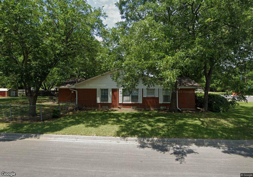
1801 Linden Dr Denton, TX 76201
Rayzor Ranch NeighborhoodEstimated Value: $335,000 - $358,000
3
Beds
2
Baths
1,862
Sq Ft
$186/Sq Ft
Est. Value
About This Home
This home is located at 1801 Linden Dr, Denton, TX 76201 and is currently estimated at $346,426, approximately $186 per square foot. 1801 Linden Dr is a home located in Denton County with nearby schools including Newton Rayzor Elementary School, Calhoun Middle School, and Denton High School.
Ownership History
Date
Name
Owned For
Owner Type
Purchase Details
Closed on
Oct 31, 2023
Sold by
Hawkins Christopher Lee
Bought by
Hawkins Michelle
Current Estimated Value
Purchase Details
Closed on
May 15, 2007
Sold by
Lawson James R and Lawson Martha A
Bought by
Hawkins Christopher L and Hawkins Michelle
Home Financials for this Owner
Home Financials are based on the most recent Mortgage that was taken out on this home.
Original Mortgage
$125,250
Interest Rate
6.13%
Mortgage Type
Purchase Money Mortgage
Create a Home Valuation Report for This Property
The Home Valuation Report is an in-depth analysis detailing your home's value as well as a comparison with similar homes in the area
Home Values in the Area
Average Home Value in this Area
Purchase History
| Date | Buyer | Sale Price | Title Company |
|---|---|---|---|
| Hawkins Michelle | -- | None Listed On Document | |
| Hawkins Christopher L | -- | Denton Co Title Company |
Source: Public Records
Mortgage History
| Date | Status | Borrower | Loan Amount |
|---|---|---|---|
| Previous Owner | Hawkins Christopher L | $125,250 |
Source: Public Records
Tax History Compared to Growth
Tax History
| Year | Tax Paid | Tax Assessment Tax Assessment Total Assessment is a certain percentage of the fair market value that is determined by local assessors to be the total taxable value of land and additions on the property. | Land | Improvement |
|---|---|---|---|---|
| 2025 | $4,889 | $328,951 | $139,040 | $189,911 |
| 2024 | $6,462 | $334,800 | $139,040 | $195,760 |
| 2023 | $5,471 | $227,267 | $139,040 | $147,516 |
| 2022 | $4,386 | $206,606 | $64,783 | $149,062 |
| 2021 | $4,175 | $187,824 | $48,843 | $138,981 |
| 2020 | $3,971 | $173,712 | $48,843 | $124,869 |
| 2019 | $4,040 | $169,329 | $48,843 | $126,866 |
| 2018 | $3,719 | $153,935 | $48,843 | $112,173 |
| 2017 | $3,459 | $139,941 | $35,400 | $104,541 |
| 2016 | $3,274 | $132,453 | $35,400 | $104,543 |
| 2015 | $2,473 | $120,412 | $35,400 | $100,532 |
| 2013 | -- | $99,514 | $36,612 | $62,902 |
Source: Public Records
Map
Nearby Homes
- 1813 Crescent St
- 1509 Egan St
- 1716 Cordell St
- 419 Marietta St
- 1014 Hillcrest St
- 321 Fry St
- 1115 Egan St
- 910 Stanley St Unit 3
- 910 Stanley St Unit 5
- 910 Stanley St Unit 1
- 910 Stanley St Unit 2
- 910 Stanley St Unit 6
- 406 Fry St
- 1200 Thomas St
- 2044 W Oak St
- 1027 Stanley St
- 330 Ponder St
- 2230 Alamo Place
- 918 Egan St
- 913 Cordell St
- 1805 Linden Dr
- 1717 Linden Dr
- 1809 Linden Dr
- 1800 Broadway St
- 1804 Broadway St
- 1808 Broadway St
- 1715 Linden Dr
- 1716 Broadway St
- 1813 Linden Dr
- 1812 Broadway St
- 1724 Linden Dr
- 1712 Broadway St
- 1718 Linden Dr
- 1709 Linden Dr
- 1800 Linden Dr
- 1816 Broadway St
- 1817 Linden Dr
- 1710 Broadway St
- 1714 Linden Dr
- 1804 Linden Dr