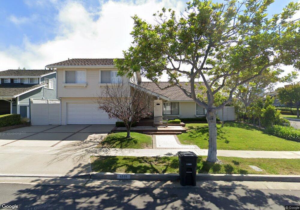
1801 Port Tiffin Place Newport Beach, CA 92660
Harbor View Homes NeighborhoodEstimated Value: $3,005,000 - $3,876,000
5
Beds
3
Baths
1,971
Sq Ft
$1,735/Sq Ft
Est. Value
About This Home
This home is located at 1801 Port Tiffin Place, Newport Beach, CA 92660 and is currently estimated at $3,418,917, approximately $1,734 per square foot. 1801 Port Tiffin Place is a home located in Orange County with nearby schools including Roy O. Andersen Elementary School, Corona del Mar Middle and High School, and Newport Christian School.
Ownership History
Date
Name
Owned For
Owner Type
Purchase Details
Closed on
May 13, 2025
Sold by
Davis Craig Robert
Bought by
Crd Trust and Davis
Current Estimated Value
Purchase Details
Closed on
Apr 17, 2025
Sold by
Davis Maybert Alice
Bought by
Davis Craig Robert
Purchase Details
Closed on
Nov 21, 1998
Sold by
Davis Garland E
Bought by
Davis Maybert A
Create a Home Valuation Report for This Property
The Home Valuation Report is an in-depth analysis detailing your home's value as well as a comparison with similar homes in the area
Home Values in the Area
Average Home Value in this Area
Purchase History
| Date | Buyer | Sale Price | Title Company |
|---|---|---|---|
| Crd Trust | -- | None Listed On Document | |
| Davis Craig Robert | -- | None Listed On Document | |
| Davis Maybert A | -- | -- |
Source: Public Records
Tax History Compared to Growth
Tax History
| Year | Tax Paid | Tax Assessment Tax Assessment Total Assessment is a certain percentage of the fair market value that is determined by local assessors to be the total taxable value of land and additions on the property. | Land | Improvement |
|---|---|---|---|---|
| 2025 | $2,022 | $1,663,183 | $1,471,594 | $191,589 |
| 2024 | $2,022 | $161,806 | $66,790 | $95,016 |
| 2023 | $1,970 | $158,634 | $65,481 | $93,153 |
| 2022 | $1,931 | $155,524 | $64,197 | $91,327 |
| 2021 | $1,895 | $152,475 | $62,938 | $89,537 |
| 2020 | $1,875 | $150,912 | $62,293 | $88,619 |
| 2019 | $1,842 | $147,953 | $61,071 | $86,882 |
| 2018 | $1,807 | $145,052 | $59,873 | $85,179 |
| 2017 | $1,775 | $142,208 | $58,699 | $83,509 |
| 2016 | $1,737 | $139,420 | $57,548 | $81,872 |
| 2015 | $1,717 | $137,326 | $56,683 | $80,643 |
| 2014 | $1,676 | $134,636 | $55,572 | $79,064 |
Source: Public Records
Map
Nearby Homes
- 1707 Newport Hills Dr W
- 1935 Port Bishop Place
- 1808 Newport Hills Dr E
- 15 Cypress Point Ln
- 4 Summer House Ln
- 1963 Port Edward Place
- 1 Rue du Parc
- 29 Augusta Ln
- 1 Cypress Point Ln
- 3 Cypress Point Ln
- 23 Lochmoor Ln
- 56 Royal Saint George Rd
- 19 Harbor Pointe Dr
- 1845 Port Westbourne Place
- 1917 Yacht Colinia
- 5 Hillsborough
- 2001 Yacht Resolute
- 7 Belmont
- 1812 Port Margate Place
- 31 Carmel Bay Dr
- 1807 Port Tiffin Place
- 1800 Port Stanhope Place
- 1806 Port Stanhope Place
- 1815 Port Tiffin Place
- 1806 Port Tiffin Place
- 1800 Port Tiffin Place
- 1794 Port Stanhope Cir
- 1812 Port Stanhope Place
- 1795 Port Tiffin Cir
- 1812 Port Tiffin Place
- 1821 Port Tiffin Place
- 1818 Port Stanhope Place
- 1818 Port Tiffin Place
- 1807 Port Renwick Place
- 1788 Port Stanhope Cir
- 1801 Port Stanhope Place
- 1815 Port Renwick Place
- 1801 Port Renwick Place
- 1827 Port Tiffin Place
- 1807 Port Stanhope Place