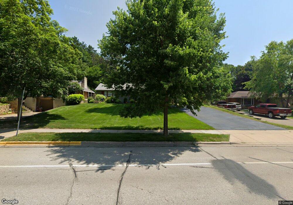
1801 Twin Bluff Rd Red Wing, MN 55066
Estimated Value: $267,000 - $308,000
3
Beds
1
Bath
1,592
Sq Ft
$179/Sq Ft
Est. Value
About This Home
This home is located at 1801 Twin Bluff Rd, Red Wing, MN 55066 and is currently estimated at $284,709, approximately $178 per square foot. 1801 Twin Bluff Rd is a home located in Goodhue County with nearby schools including Sunnyside Elementary School, Burnside Elementary School, and Twin Bluff Middle School.
Ownership History
Date
Name
Owned For
Owner Type
Purchase Details
Closed on
Jun 22, 2023
Sold by
Renter Kenzi Ann
Bought by
Greseth Nicholas Alexander Wa and Deuter Kenzi Ann
Current Estimated Value
Purchase Details
Closed on
Feb 4, 2022
Sold by
Kosec Carol A
Bought by
Reuter Kenzi A
Home Financials for this Owner
Home Financials are based on the most recent Mortgage that was taken out on this home.
Original Mortgage
$175,000
Interest Rate
3.55%
Create a Home Valuation Report for This Property
The Home Valuation Report is an in-depth analysis detailing your home's value as well as a comparison with similar homes in the area
Home Values in the Area
Average Home Value in this Area
Purchase History
| Date | Buyer | Sale Price | Title Company |
|---|---|---|---|
| Greseth Nicholas Alexander Wa | $500 | None Listed On Document | |
| Reuter Kenzi A | $185,000 | None Listed On Document |
Source: Public Records
Mortgage History
| Date | Status | Borrower | Loan Amount |
|---|---|---|---|
| Previous Owner | Reuter Kenzi A | $175,000 |
Source: Public Records
Tax History Compared to Growth
Tax History
| Year | Tax Paid | Tax Assessment Tax Assessment Total Assessment is a certain percentage of the fair market value that is determined by local assessors to be the total taxable value of land and additions on the property. | Land | Improvement |
|---|---|---|---|---|
| 2025 | $3,160 | $258,100 | $53,500 | $204,600 |
| 2024 | $3,160 | $253,900 | $53,500 | $200,400 |
| 2023 | $1,591 | $240,800 | $53,500 | $187,300 |
| 2022 | $2,856 | $239,400 | $53,500 | $185,900 |
| 2021 | $2,610 | $206,700 | $53,500 | $153,200 |
| 2020 | $2,592 | $193,300 | $53,500 | $139,800 |
| 2019 | $2,598 | $181,000 | $53,500 | $127,500 |
| 2018 | $2,098 | $183,200 | $51,400 | $131,800 |
| 2017 | $2,034 | $162,200 | $51,400 | $110,800 |
| 2016 | $1,888 | $159,700 | $51,400 | $108,300 |
| 2015 | $1,764 | $156,100 | $51,400 | $104,700 |
| 2014 | -- | $146,800 | $51,400 | $95,400 |
Source: Public Records
Map
Nearby Homes
- 1825 Twin Bluff Rd
- 1846 Twin Bluff Rd
- 1838 Spruce Dr
- 1606 Reichert Ave
- 1927 Twin Bluff Rd
- 1903 Lenore Ln
- 1224 Tee Up Ln
- 1164 Hawthorn St
- 1632 Spruce Dr
- 642 Grace St
- 1012 West Ave
- 1029 Putnam Ave
- 1028 Kingman Ave
- 1062 Putnam Ave
- 1822 Bohmbach Dr
- 1328 Norwood St
- 732 Hi Park Ave
- 2345 S Oak Dr
- 769 Pioneer Rd
- 672 Hi Park Ave
- 1809 Twin Bluff Rd
- 1759 Twin Bluff Rd
- 1751 Twin Bluff Rd
- 1817 Twin Bluff Rd
- 1808 Twin Bluff Rd
- 1758 Twin Bluff Rd
- 1739 Twin Bluff Rd
- 1818 Twin Bluff Rd
- 1748 Twin Bluff Rd
- 1833 Twin Bluff Rd
- 1032 Hallstrom Dr
- 1022 Hallstrom Dr
- 1017 Lidberg St
- 1828 Twin Bluff Rd
- 1018 Lidberg St
- 1738 Twin Bluff Rd
- 1010 Hallstrom Dr
- 1725 Twin Bluff Rd
- 1751 Reichert Ave
- 1841 Twin Bluff Rd