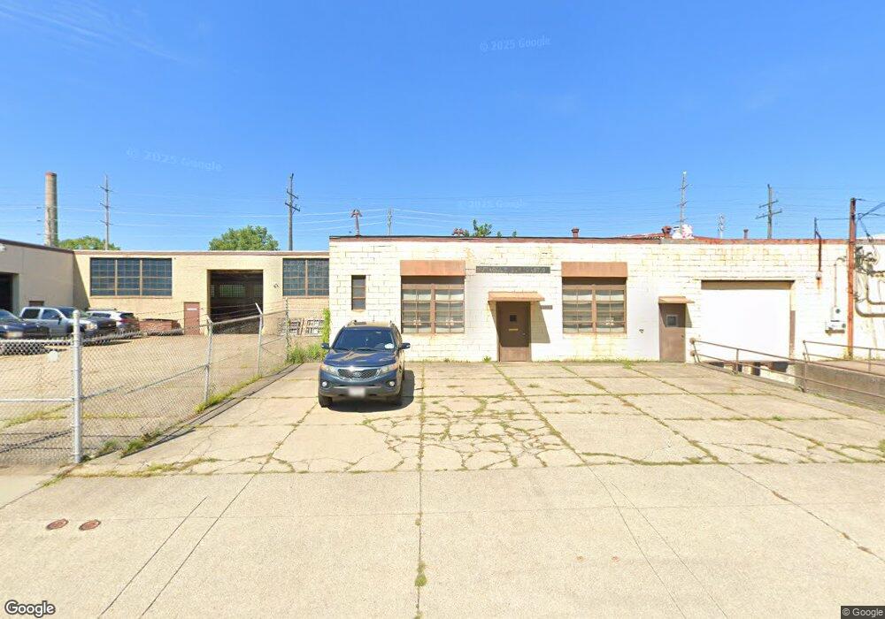
18011 Roseland Rd Cleveland, OH 44112
Euclid-Green Neighborhood
--
Bed
--
Bath
13,260
Sq Ft
0.4
Acres
About This Home
This home is located at 18011 Roseland Rd, Cleveland, OH 44112. 18011 Roseland Rd is a home located in Cuyahoga County with nearby schools including Bolton, Anton Grdina School, and Andrew J. Rickoff School.
Ownership History
Date
Name
Owned For
Owner Type
Purchase Details
Closed on
May 23, 2024
Sold by
Dale E Mansperger Trust and Mansperger Clare W
Bought by
Julius Patrick Industries Llc
Home Financials for this Owner
Home Financials are based on the most recent Mortgage that was taken out on this home.
Original Mortgage
$190,000
Outstanding Balance
$187,480
Interest Rate
7.17%
Mortgage Type
New Conventional
Purchase Details
Closed on
Oct 7, 1992
Sold by
Mansperger Dale E
Bought by
Mansperger Dale E
Purchase Details
Closed on
Jan 1, 1975
Bought by
Mansperger Dale E
Create a Home Valuation Report for This Property
The Home Valuation Report is an in-depth analysis detailing your home's value as well as a comparison with similar homes in the area
Home Values in the Area
Average Home Value in this Area
Purchase History
| Date | Buyer | Sale Price | Title Company |
|---|---|---|---|
| Julius Patrick Industries Llc | $50,000 | Enterprise Title | |
| Mansperger Dale E | -- | -- | |
| Mansperger Dale E | -- | -- |
Source: Public Records
Mortgage History
| Date | Status | Borrower | Loan Amount |
|---|---|---|---|
| Open | Julius Patrick Industries Llc | $190,000 |
Source: Public Records
Tax History Compared to Growth
Tax History
| Year | Tax Paid | Tax Assessment Tax Assessment Total Assessment is a certain percentage of the fair market value that is determined by local assessors to be the total taxable value of land and additions on the property. | Land | Improvement |
|---|---|---|---|---|
| 2024 | $7,012 | $67,935 | $4,935 | $63,000 |
| 2023 | $6,817 | $68,250 | $5,425 | $62,825 |
| 2022 | $6,808 | $68,250 | $5,430 | $62,830 |
| 2021 | $6,828 | $68,250 | $5,430 | $62,830 |
| 2020 | $6,452 | $62,060 | $4,940 | $57,120 |
| 2019 | $6,074 | $177,300 | $14,100 | $163,200 |
| 2018 | $5,735 | $62,060 | $4,940 | $57,120 |
| 2017 | $5,533 | $54,470 | $7,600 | $46,870 |
| 2016 | $5,535 | $54,470 | $7,600 | $46,870 |
| 2015 | $5,566 | $54,470 | $7,600 | $46,870 |
| 2014 | $5,566 | $55,030 | $7,670 | $47,360 |
Source: Public Records
Map
Nearby Homes
- 1682 Cliffview Rd
- 18001 Olympia Rd
- 1677 Hillview Rd
- 1646 Avalon Rd
- 1639 Avalon Rd
- 1651 Avalon Rd
- 1738 Burgess Rd
- 1738 Cliffview Rd
- 1617 Catalpa Rd
- 940 London Rd
- 16519 Burnside Ave
- 1707 Catalpa Rd
- 1547 E 173rd St
- 949 Rudyard Rd
- 1777 Catalpa Rd
- 897 Rudyard Rd
- 737 E 165th St
- 799 London Rd
- 792 London Rd
- 836 Rudyard Rd
- 18025 Roseland Rd
- 1643 Burgess Rd
- 1636 Cliffview Rd
- 1647 Burgess Rd
- 1640 Cliffview Rd
- 18033 Roseland Rd
- 1644 Cliffview Rd
- 1651 Burgess Rd
- 1644 Burgess Rd
- 1650 Cliffview Rd
- 1646 Burgess Rd
- 1655 Burgess Rd
- 1648 Burgess Rd
- 1652 Cliffview Rd
- 1659 Burgess Rd
- 1652 Burgess Rd
- 1637 Cliffview Rd
- 1641 Cliffview Rd
- 1663 Burgess Rd
- 1645 Cliffview Rd