18014 Safe Haven Way Culpeper, VA 22701
Estimated Value: $521,000 - $578,000
3
Beds
3
Baths
1,700
Sq Ft
$324/Sq Ft
Est. Value
About This Home
This home is located at 18014 Safe Haven Way, Culpeper, VA 22701 and is currently estimated at $549,974, approximately $323 per square foot. 18014 Safe Haven Way is a home located in Culpeper County with nearby schools including A.G. Richardson Elementary School, Floyd T. Binns Middle School, and Eastern View High School.
Ownership History
Date
Name
Owned For
Owner Type
Purchase Details
Closed on
Mar 19, 2003
Sold by
Newsome W Barry
Bought by
Trigon Dev Llc
Current Estimated Value
Home Financials for this Owner
Home Financials are based on the most recent Mortgage that was taken out on this home.
Original Mortgage
$70,000
Outstanding Balance
$30,137
Interest Rate
5.9%
Mortgage Type
New Conventional
Estimated Equity
$519,837
Create a Home Valuation Report for This Property
The Home Valuation Report is an in-depth analysis detailing your home's value as well as a comparison with similar homes in the area
Home Values in the Area
Average Home Value in this Area
Purchase History
| Date | Buyer | Sale Price | Title Company |
|---|---|---|---|
| Trigon Dev Llc | $70,000 | -- |
Source: Public Records
Mortgage History
| Date | Status | Borrower | Loan Amount |
|---|---|---|---|
| Open | Trigon Dev Llc | $70,000 |
Source: Public Records
Tax History Compared to Growth
Tax History
| Year | Tax Paid | Tax Assessment Tax Assessment Total Assessment is a certain percentage of the fair market value that is determined by local assessors to be the total taxable value of land and additions on the property. | Land | Improvement |
|---|---|---|---|---|
| 2024 | $1,998 | $434,400 | $133,000 | $301,400 |
| 2023 | $1,998 | $434,400 | $133,000 | $301,400 |
| 2022 | $2,042 | $371,200 | $133,000 | $238,200 |
| 2021 | $2,042 | $371,200 | $133,000 | $238,200 |
| 2020 | $2,125 | $342,700 | $121,400 | $221,300 |
| 2019 | $2,125 | $342,700 | $121,400 | $221,300 |
| 2018 | $2,209 | $329,700 | $118,100 | $211,600 |
| 2017 | $2,209 | $329,700 | $118,100 | $211,600 |
| 2016 | $2,295 | $314,440 | $102,800 | $211,640 |
| 2015 | $2,295 | $314,400 | $102,800 | $211,600 |
| 2014 | $2,515 | $303,000 | $101,500 | $201,500 |
Source: Public Records
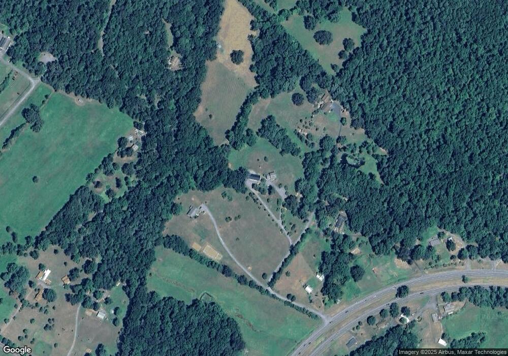
Map
Nearby Homes
- 18051 Little Oak Dr
- 6360 Tharp Rd
- 17257 Gore Ln
- 18188 Birmingham Rd
- 18305 Fox Mountain Ln
- 8229 James Monroe Hwy
- 7380 W Hoover Rd
- 8346 White Shop Rd
- 15453 Whippoorwill Ln
- 0 Olympic Way
- 8021 Olympic Way
- 0 N Merrimac Rd Unit VACU2010520
- 0 Reva Rd Unit VACU2011830
- 0 Reva Rd Unit VACU2011832
- 15760 Fox Chase Ln
- 9195 White Shop Rd
- 6360 Tennis Ct
- 0 Amandas Ridge Ln Unit VACU2011458
- 17515 Lakemont Dr
- 19254 Mabel Ct
- 6697 James Monroe Hwy
- 17476 Safe Haven Way
- 18056 Safe Haven Way
- 17490 Chris Crossing
- 17345 Chris Crossing
- 17423 Chris Crossing
- 6705 James Monroe Hwy
- 18075 Safe Haven Way
- 6658 James Monroe Hwy
- 6604 James Monroe Hwy
- 6581 James Monroe Hwy
- 18065 Chris Crossing
- 6347 Hoover Rd
- 6710 James Monroe Hwy
- 6725 James Monroe Hwy
- 6319 Hoover Rd
- 6566 James Monroe Hwy
- 6725 James Monroe Hwy
- 6686 James Monroe Hwy
- 6275 Hoover Rd