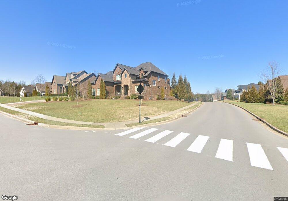
1802 Eaves Ct Nolensville, TN 37135
Estimated Value: $1,358,000 - $1,669,000
--
Bed
1
Bath
4,448
Sq Ft
$331/Sq Ft
Est. Value
About This Home
This home is located at 1802 Eaves Ct, Nolensville, TN 37135 and is currently estimated at $1,473,800, approximately $331 per square foot. 1802 Eaves Ct is a home with nearby schools including Sunset Elementary School, Sunset Middle School, and Nolensville High School.
Ownership History
Date
Name
Owned For
Owner Type
Purchase Details
Closed on
Jan 10, 2014
Sold by
Barlow Builders Llc
Bought by
Leary James S O and Leary Kimberly R O
Current Estimated Value
Home Financials for this Owner
Home Financials are based on the most recent Mortgage that was taken out on this home.
Original Mortgage
$576,930
Outstanding Balance
$418,851
Interest Rate
3.5%
Mortgage Type
Adjustable Rate Mortgage/ARM
Estimated Equity
$1,054,949
Create a Home Valuation Report for This Property
The Home Valuation Report is an in-depth analysis detailing your home's value as well as a comparison with similar homes in the area
Home Values in the Area
Average Home Value in this Area
Purchase History
| Date | Buyer | Sale Price | Title Company |
|---|---|---|---|
| Leary James S O | $678,742 | None Available |
Source: Public Records
Mortgage History
| Date | Status | Borrower | Loan Amount |
|---|---|---|---|
| Open | Leary James S O | $576,930 |
Source: Public Records
Tax History Compared to Growth
Tax History
| Year | Tax Paid | Tax Assessment Tax Assessment Total Assessment is a certain percentage of the fair market value that is determined by local assessors to be the total taxable value of land and additions on the property. | Land | Improvement |
|---|---|---|---|---|
| 2025 | $4,620 | $335,500 | $87,500 | $248,000 |
| 2024 | $4,620 | $212,900 | $45,000 | $167,900 |
| 2023 | $4,620 | $212,900 | $45,000 | $167,900 |
| 2022 | $4,418 | $203,600 | $45,000 | $158,600 |
| 2021 | $4,418 | $203,600 | $45,000 | $158,600 |
| 2020 | $4,093 | $163,075 | $28,750 | $134,325 |
| 2019 | $3,865 | $163,075 | $28,750 | $134,325 |
| 2018 | $3,751 | $163,075 | $28,750 | $134,325 |
| 2017 | $3,718 | $163,075 | $28,750 | $134,325 |
| 2016 | $0 | $163,075 | $28,750 | $134,325 |
| 2015 | -- | $148,450 | $23,750 | $124,700 |
| 2014 | -- | $148,450 | $23,750 | $124,700 |
Source: Public Records
Map
Nearby Homes
- 1818 Eaves Ct
- 2004 Vail Trace
- 2713 Bering Ct
- 9905 Elland Rd
- Devonshire II Plan at Telluride - Manor
- Westchester II Plan at Telluride - Manor
- Southhampton Plan at Telluride - Manor
- St. Andrews III Plan at Telluride - Manor
- Nottingham Plan at Telluride - Manor
- Glen Abbey III Plan at Telluride - Manor
- 2510 Benington Place
- 2020 Vail Trace
- 2029 Delaware Dr
- 2025 Delaware Dr
- 2029 Universe Ct
- 2025 Vail Trace
- 9917 Elland Rd
- 2032 Universe Ct
- 2033 Vail Trace
- 130 Brooksbank Dr
- 1806 Eaves Ct
- 1818 Eaves Ct Home Site #1510
- 1602 Allred Ct
- 2549 Benington Place
- 2552 Benington Place
- 1810 Eaves Ct Home Site #1512
- 1810 Eaves Ct
- 1807 Eaves Ct
- 1603 Allred Ct
- 2545 Benington Place
- 2548 Benington Place
- 1606 Allred Ct
- 1814 Eaves Ct
- 1607 Allred Ct
- 1610 Allred Ct
- 1610 Allred Ct
- 2564 Benington Place
- 1813 Eaves Ct
- 800 Delaware Ct
- 800 Delaware Ct