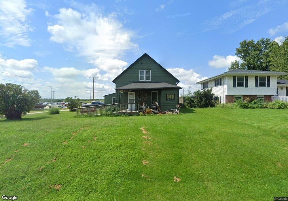
1802 Locust St Granger, IA 50109
Estimated Value: $147,000 - $294,000
4
Beds
2
Baths
1,685
Sq Ft
$126/Sq Ft
Est. Value
About This Home
This home is located at 1802 Locust St, Granger, IA 50109 and is currently estimated at $212,591, approximately $126 per square foot. 1802 Locust St is a home with nearby schools including Woodward-Granger Elementary School and Woodward-Granger Middle School.
Ownership History
Date
Name
Owned For
Owner Type
Purchase Details
Closed on
Jul 1, 2019
Sold by
Belew Norman D and Belew Jerry D
Bought by
Belew Leland L and Belew Linda L
Current Estimated Value
Home Financials for this Owner
Home Financials are based on the most recent Mortgage that was taken out on this home.
Original Mortgage
$52,777
Outstanding Balance
$34,649
Interest Rate
3.82%
Mortgage Type
Commercial
Estimated Equity
$177,942
Purchase Details
Closed on
Dec 20, 2013
Sold by
Aunspach Paula Jean
Bought by
Aunspach Tony
Create a Home Valuation Report for This Property
The Home Valuation Report is an in-depth analysis detailing your home's value as well as a comparison with similar homes in the area
Home Values in the Area
Average Home Value in this Area
Purchase History
| Date | Buyer | Sale Price | Title Company |
|---|---|---|---|
| Belew Leland L | $53,000 | None Available | |
| Aunspach Tony | -- | None Available |
Source: Public Records
Mortgage History
| Date | Status | Borrower | Loan Amount |
|---|---|---|---|
| Open | Belew Leland L | $52,777 |
Source: Public Records
Tax History Compared to Growth
Tax History
| Year | Tax Paid | Tax Assessment Tax Assessment Total Assessment is a certain percentage of the fair market value that is determined by local assessors to be the total taxable value of land and additions on the property. | Land | Improvement |
|---|---|---|---|---|
| 2024 | $1,678 | $99,370 | $25,840 | $73,530 |
| 2023 | $1,678 | $99,370 | $25,840 | $73,530 |
| 2022 | $1,752 | $89,200 | $25,840 | $63,360 |
| 2021 | $1,752 | $85,760 | $25,840 | $59,920 |
| 2020 | $1,312 | $70,030 | $25,840 | $44,190 |
| 2019 | $1,354 | $70,030 | $25,840 | $44,190 |
| 2018 | $1,354 | $67,650 | $24,290 | $43,360 |
| 2017 | $1,434 | $67,650 | $24,290 | $43,360 |
| 2016 | $1,368 | $68,560 | $24,290 | $44,270 |
| 2015 | $1,090 | $57,950 | $0 | $0 |
| 2014 | $1,260 | $57,950 | $0 | $0 |
Source: Public Records
Map
Nearby Homes
- 1805 Sycamore St
- 1803 Walnut St
- 1806 Main St
- 1915 Locust St
- 2009 Locust St
- 2009 Oak St
- 2103 Vista View Dr
- 2301 Windcrest Dr
- 2009 White Oak Ln
- 2004 White Oak Ln
- 2103 White Oak Ln
- 2105 White Oak Ln
- 2208 White Oak Ln
- 2403 White Oak Ln
- 2008 White Oak Ln
- Dogwood B Plan at Oxley Creek West
- Xavier Plan at Oxley Creek West
- Hoover C Plan at Oxley Creek West
- Walton C Plan at Oxley Creek West
- Fillmore Plan at Oxley Creek West
- 1804 Locust St
- 1806 Locust St
- 2005 Court St
- 1803 Locust St
- 2101 Court St
- 1808 Locust St
- 2100 Court St
- 1805 Locust St
- 1803 Sycamore St
- 1810 Locust St
- 2103 Court St
- 1802 Walnut St
- 2105 Court St
- 2007 Broadway St
- 2005 Broadway St
- 2107 Court St
- 1802 Sycamore St
- 1806 Walnut St
- 2101 Broadway St
- 2001 Broadway St