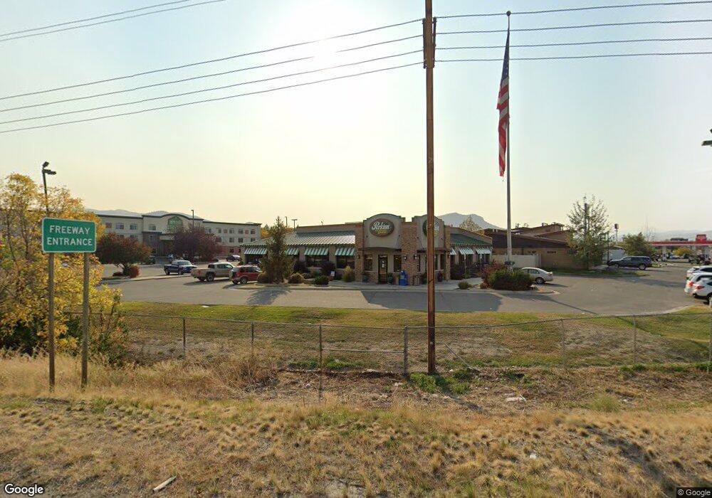
1803 Cedar St Helena, MT 59601
North East NeighborhoodEstimated Value: $2,717,509
Studio
--
Bath
5,736
Sq Ft
$474/Sq Ft
Est. Value
About This Home
This home is located at 1803 Cedar St, Helena, MT 59601 and is currently estimated at $2,717,509, approximately $473 per square foot. 1803 Cedar St is a home located in Lewis and Clark County with nearby schools including Bryant School, Helena Middle School, and Calvary Christian School.
Ownership History
Date
Name
Owned For
Owner Type
Purchase Details
Closed on
Jun 30, 2022
Sold by
Pb Management Llc
Bought by
Shellies Rentals Llc
Current Estimated Value
Home Financials for this Owner
Home Financials are based on the most recent Mortgage that was taken out on this home.
Original Mortgage
$1,999,500
Outstanding Balance
$1,904,908
Interest Rate
5.25%
Mortgage Type
New Conventional
Estimated Equity
$812,601
Purchase Details
Closed on
Jun 23, 2008
Sold by
Mollet Peter B and Mollet Brenda
Bought by
P B Management Llc
Create a Home Valuation Report for This Property
The Home Valuation Report is an in-depth analysis detailing your home's value as well as a comparison with similar homes in the area
Home Values in the Area
Average Home Value in this Area
Purchase History
| Date | Buyer | Sale Price | Title Company |
|---|---|---|---|
| Shellies Rentals Llc | -- | Helena Abstract & Title | |
| P B Management Llc | -- | First Montana Title Company |
Source: Public Records
Mortgage History
| Date | Status | Borrower | Loan Amount |
|---|---|---|---|
| Open | Shellies Rentals Llc | $1,999,500 |
Source: Public Records
Tax History
| Year | Tax Paid | Tax Assessment Tax Assessment Total Assessment is a certain percentage of the fair market value that is determined by local assessors to be the total taxable value of land and additions on the property. | Land | Improvement |
|---|---|---|---|---|
| 2025 | $31,475 | $2,501,600 | $0 | $0 |
| 2024 | $25,713 | $1,918,654 | $0 | $0 |
| 2023 | $29,277 | $1,918,654 | $0 | $0 |
| 2022 | $24,818 | $1,205,200 | $0 | $0 |
| 2021 | $18,717 | $1,205,200 | $0 | $0 |
| 2020 | $23,662 | $1,135,900 | $0 | $0 |
| 2019 | $23,690 | $1,135,900 | $0 | $0 |
| 2018 | $20,964 | $1,082,300 | $0 | $0 |
| 2017 | $15,110 | $1,082,300 | $0 | $0 |
| 2016 | $17,680 | $1,066,000 | $0 | $0 |
| 2015 | $15,183 | $1,066,000 | $0 | $0 |
| 2014 | $16,372 | $890,975 | $0 | $0 |
Source: Public Records
Map
Nearby Homes
- 1820 Chestnut St
- 1760 Easy St
- 1770 Easy St
- TBD Poplar St
- 1414 Cherry Ave
- 1915 N Montana Ave
- 1311 N Montana Ave
- 2216 N Montana Ave
- 1514 Boulder Ave
- 1414 Boulder Ave
- 1807 Townsend Ave
- 1701 Townsend Ave
- TBD Lot 7-8 Argyle St
- tba Bozeman Ave
- 2328 Shorthorn Ave
- 2019 Missoula Ave
- Lot 5 Shorthorn Ave
- 2310 Shorthorn Ave
- 906 Hialeah St
- 1054 N Ewing St
- 1801 Cedar St
- 1680 Aspen St
- 1680 Aspen St Unit Trico Community Fede
- 1800 Cedar St
- 1721 Cedar St Unit Tim's Exxon
- 1639 Aspen St
- 1714 Poplar St
- 1637 Aspen St
- 1700 Poplar St
- 1720 Poplar St
- 1652 Poplar St
- 1804 Poplar St
- 1646 Poplar St
- 1723 Poplar St
- 1719 Poplar St
- 1640 Poplar St
- 1715 Poplar St
- 1919 N Oakes St
- 1630 Poplar St
- 1803 Poplar St
Your Personal Tour Guide
Ask me questions while you tour the home.