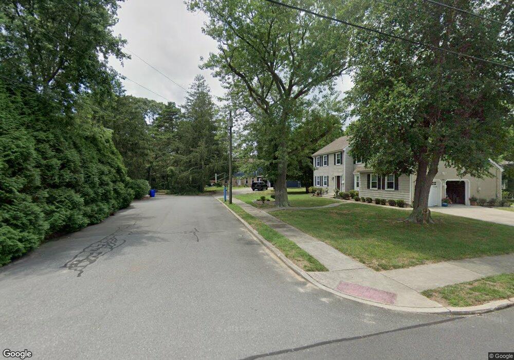
1803 Devon Ave Linwood, NJ 08221
Estimated Value: $576,000 - $728,000
--
Bed
--
Bath
2,317
Sq Ft
$272/Sq Ft
Est. Value
About This Home
This home is located at 1803 Devon Ave, Linwood, NJ 08221 and is currently estimated at $630,427, approximately $272 per square foot. 1803 Devon Ave is a home located in Atlantic County with nearby schools including Seaview Elementary School, Belhaven Middle School, and Mainland Regional High School.
Ownership History
Date
Name
Owned For
Owner Type
Purchase Details
Closed on
Nov 7, 2022
Sold by
Schwenger Charles F and Schwenger Joan L
Bought by
Schwenger Charles F
Current Estimated Value
Home Financials for this Owner
Home Financials are based on the most recent Mortgage that was taken out on this home.
Original Mortgage
$250,000
Outstanding Balance
$242,234
Interest Rate
6.94%
Mortgage Type
New Conventional
Estimated Equity
$388,193
Create a Home Valuation Report for This Property
The Home Valuation Report is an in-depth analysis detailing your home's value as well as a comparison with similar homes in the area
Home Values in the Area
Average Home Value in this Area
Purchase History
| Date | Buyer | Sale Price | Title Company |
|---|---|---|---|
| Schwenger Charles F | $450,000 | The Title Company |
Source: Public Records
Mortgage History
| Date | Status | Borrower | Loan Amount |
|---|---|---|---|
| Open | Schwenger Charles F | $250,000 |
Source: Public Records
Tax History Compared to Growth
Tax History
| Year | Tax Paid | Tax Assessment Tax Assessment Total Assessment is a certain percentage of the fair market value that is determined by local assessors to be the total taxable value of land and additions on the property. | Land | Improvement |
|---|---|---|---|---|
| 2025 | $14,123 | $370,200 | $154,300 | $215,900 |
| 2024 | $14,123 | $370,200 | $154,300 | $215,900 |
| 2023 | $13,468 | $370,200 | $154,300 | $215,900 |
| 2022 | $13,468 | $370,200 | $154,300 | $215,900 |
| 2021 | $13,349 | $370,200 | $154,300 | $215,900 |
| 2020 | $13,164 | $370,200 | $154,300 | $215,900 |
| 2019 | $12,883 | $370,200 | $154,300 | $215,900 |
| 2018 | $12,594 | $370,200 | $154,300 | $215,900 |
| 2017 | $12,342 | $370,200 | $154,300 | $215,900 |
| 2016 | $11,928 | $370,200 | $154,300 | $215,900 |
| 2015 | $11,939 | $370,200 | $154,300 | $215,900 |
| 2014 | $11,517 | $371,500 | $154,300 | $217,200 |
Source: Public Records
Map
Nearby Homes
- 110 E Seaview Ave
- 1860 Franklin Blvd
- 108 Holly Ln
- 110 E Patcong Ave
- 1930 Shore Rd
- 10 Sunset Ave
- 208 Balfour Ave
- 209 Berkshire Ave
- 102 Morris Ave
- 23 Cambridge Unit 23
- 18 Berkley St
- 18 Berkley Ave
- 14 Seagarden Dr
- 1917 Ventnor Ave
- 209 Belhaven Ave
- 7 Woodstock Dr
- 1714 New Rd
- 493 Sara Ann Ct
- 118 Kirklin Ave
- 120 W Devonshire Ave
- 1803 Franklin Blvd
- 1801 Devon Ave
- 27 East Dr
- 136 E Seaview Ave
- 101 East Dr
- 15 East Dr
- 132 E Seaview Ave
- 114 E Seaview Ave
- 20 East Dr
- 18 East Dr
- 13 East Dr
- 1799 Franklin Blvd
- 1820 Franklin Blvd
- 1820 Franklin Blvd
- 1820 Franklin Blvd
- 1717 Devon Ave
- 1720 Diane Ct
- 7 East Dr
- 1830 Franklin Blvd
- 1800 Franklin Blvd