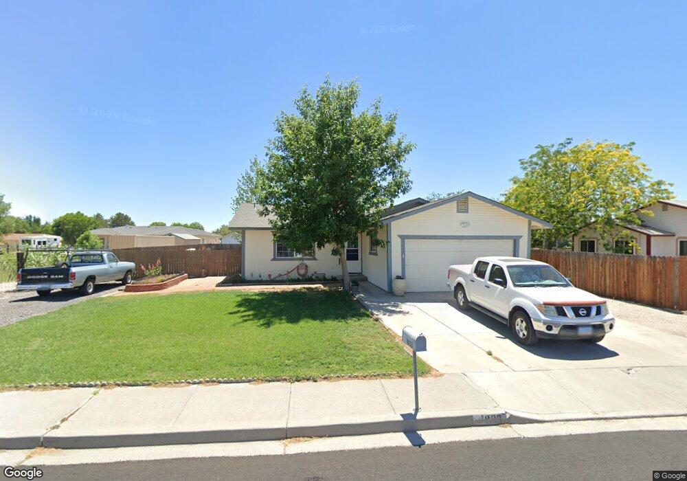
1803 Grimes St Unit 3 Fallon, NV 89406
Estimated Value: $306,000 - $336,171
3
Beds
2
Baths
1,244
Sq Ft
$257/Sq Ft
Est. Value
About This Home
This home is located at 1803 Grimes St Unit 3, Fallon, NV 89406 and is currently estimated at $319,793, approximately $257 per square foot. 1803 Grimes St Unit 3 is a home located in Churchill County with nearby schools including Lahontan Elementary School, E.C. Best Elementary School, and Numa Elementary School.
Ownership History
Date
Name
Owned For
Owner Type
Purchase Details
Closed on
Aug 5, 2011
Sold by
Crass Kyle M
Bought by
Bispo Charles L and Shaw Sofia
Current Estimated Value
Purchase Details
Closed on
Feb 8, 2006
Sold by
Rogne Christopher W and Rogne Shawna N
Bought by
Crass Kyle M
Home Financials for this Owner
Home Financials are based on the most recent Mortgage that was taken out on this home.
Original Mortgage
$201,235
Interest Rate
6.15%
Mortgage Type
VA
Create a Home Valuation Report for This Property
The Home Valuation Report is an in-depth analysis detailing your home's value as well as a comparison with similar homes in the area
Home Values in the Area
Average Home Value in this Area
Purchase History
| Date | Buyer | Sale Price | Title Company |
|---|---|---|---|
| Bispo Charles L | $92,500 | Western Nevada Title Company | |
| Crass Kyle M | $197,000 | Stewart Title Company |
Source: Public Records
Mortgage History
| Date | Status | Borrower | Loan Amount |
|---|---|---|---|
| Previous Owner | Crass Kyle M | $201,235 |
Source: Public Records
Tax History
| Year | Tax Paid | Tax Assessment Tax Assessment Total Assessment is a certain percentage of the fair market value that is determined by local assessors to be the total taxable value of land and additions on the property. | Land | Improvement |
|---|---|---|---|---|
| 2025 | $1,579 | $52,315 | $13,650 | $38,665 |
| 2024 | $1,579 | $52,204 | $12,950 | $39,254 |
| 2023 | $1,579 | $49,126 | $12,250 | $36,876 |
| 2022 | $1,487 | $42,580 | $10,500 | $32,080 |
| 2021 | $1,414 | $41,005 | $10,500 | $30,505 |
| 2020 | $1,370 | $41,760 | $10,500 | $31,260 |
| 2019 | $1,331 | $41,120 | $10,500 | $30,620 |
| 2018 | $1,291 | $37,846 | $7,875 | $29,971 |
| 2017 | $1,254 | $38,006 | $7,875 | $30,131 |
| 2016 | $1,222 | $35,420 | $7,875 | $27,545 |
| 2015 | $1,199 | $32,374 | $7,875 | $24,499 |
| 2014 | $1,173 | $30,893 | $8,400 | $22,493 |
Source: Public Records
Map
Nearby Homes
- 1044 Allen Rd
- 981 Mckay Ct
- 1410 Cedar Dr
- 475 S Bailey St
- 2320 Smart Ln
- 1009 Deena Way
- 250 S Taylor St
- APN 007-091-73 Casey Rd
- APN 007-091-70 Casey Rd
- APN 007-091-75 Casey Rd
- APN 007-091-74 Casey Rd
- APN 007-091-72 Casey Rd
- APN 007-091-71 Casey Rd
- 5011 Reno Hwy
- 360 & 360 1/2 W Virginia St
- 1755 Coleman Rd
- 126 S Laverne St
- 1222 Eagle Rock Rd
- 2217 Verona Dr
- 530 Michael Dr
- 301 Burntwood St
- 351 Burntwood St
- 1650 Rancho Dr
- 401 Burntwood St Unit 3
- 409 Burntwood St
- 1857 Grimes St
- 1854 Albert St
- 417 Burntwood St
- 1869 Grimes St
- 400 Burntwood St Unit 3
- 1600 Rancho Dr
- 190 Industrial Way
- 171 Industrial Way
- 180 Industrial Way
- 1881 Grimes St
- 425 Burntwood St Unit 1
- 425 Burntwood St
- 1878 Albert St Unit 3
- 410 Burntwood St
- 161 Industrial Way
Your Personal Tour Guide
Ask me questions while you tour the home.