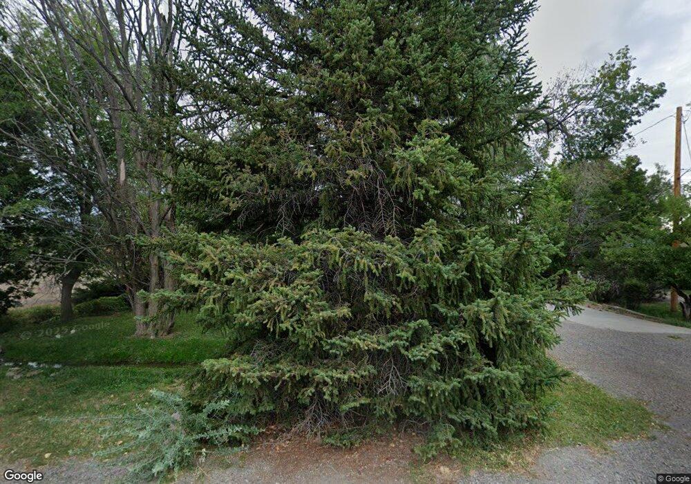
1803 Locust Rd Montrose, CO 81401
Estimated Value: $481,535 - $573,000
3
Beds
2
Baths
2,625
Sq Ft
$199/Sq Ft
Est. Value
About This Home
This home is located at 1803 Locust Rd, Montrose, CO 81401 and is currently estimated at $521,134, approximately $198 per square foot. 1803 Locust Rd is a home located in Montrose County with nearby schools including Johnson Elementary School, Centennial Middle School, and Montrose High School.
Ownership History
Date
Name
Owned For
Owner Type
Purchase Details
Closed on
Jul 31, 2002
Sold by
Condie Marcella J
Bought by
Krute Robert E and Krute Rachel A
Current Estimated Value
Purchase Details
Closed on
Jun 22, 2001
Sold by
Carroll Debra K
Bought by
Condie Marcella J
Purchase Details
Closed on
Aug 31, 1999
Sold by
Peak James W
Bought by
Carroll Debra K
Purchase Details
Closed on
Jul 27, 1973
Sold by
Montrose County
Bought by
Prustsman Edith
Purchase Details
Closed on
May 1, 1973
Sold by
Prutsman Edith
Bought by
Peak James W
Create a Home Valuation Report for This Property
The Home Valuation Report is an in-depth analysis detailing your home's value as well as a comparison with similar homes in the area
Home Values in the Area
Average Home Value in this Area
Purchase History
| Date | Buyer | Sale Price | Title Company |
|---|---|---|---|
| Krute Robert E | $169,000 | -- | |
| Condie Marcella J | $145,000 | -- | |
| Carroll Debra K | $139,900 | -- | |
| Prustsman Edith | -- | -- | |
| Peak James W | $23,500 | -- |
Source: Public Records
Tax History Compared to Growth
Tax History
| Year | Tax Paid | Tax Assessment Tax Assessment Total Assessment is a certain percentage of the fair market value that is determined by local assessors to be the total taxable value of land and additions on the property. | Land | Improvement |
|---|---|---|---|---|
| 2024 | $1,813 | $31,860 | $4,950 | $26,910 |
| 2023 | $1,813 | $36,880 | $5,730 | $31,150 |
| 2022 | $1,311 | $25,740 | $4,170 | $21,570 |
| 2021 | $1,351 | $26,480 | $4,290 | $22,190 |
| 2020 | $1,042 | $22,480 | $3,710 | $18,770 |
| 2019 | $1,049 | $22,480 | $3,710 | $18,770 |
| 2018 | $755 | $17,950 | $2,990 | $14,960 |
| 2017 | $749 | $17,950 | $2,990 | $14,960 |
| 2016 | $620 | $17,010 | $3,010 | $14,000 |
| 2015 | $1,145 | $17,010 | $3,010 | $14,000 |
| 2014 | $966 | $15,340 | $3,010 | $12,330 |
Source: Public Records
Map
Nearby Homes
- 381 6600 Rd
- TBD N Cedar
- 2091 Locust Rd
- 383 S Hillcrest Dr Unit 30
- 383 S Hillcrest Dr Unit 62
- 133 Castle Ave
- 1512 Branding Iron Dr
- 338 N Stough Ave
- 210 N Stough Ave
- 218 N Stough Ave
- 1367 Corral Dr
- 665 6600 Rd
- 505 Miami Rd
- 1809 Draft Horse Rd
- 1315 Pitchfork Rd
- 1037 N 1st St
- TBD Lot 12 E Star Ct
- TBD Lot 11 E Star Ct
- TBD Lot 10 E Star Ct
- TBD Lot 9 E Star Ct
- Lot 2 Locust Rd
- 1807 Locust Rd
- 1804 Locust Rd
- 101 Vista View Dr
- 1808 Locust Rd
- E Locust
- 1710 Works Way
- 1735 Locust Rd
- 1712 Works Way
- 1810 Locust Rd
- 103 Vista View Dr
- 1708 Works Way
- 0 Vista View
- 100 Vista View Dr
- 1812 Locust Rd
- 0 Locust Rd Unit 767495
- 0 Locust Rd Unit 759190
- 0 Locust Rd Unit 757488
- 0 Locust Rd Unit 756616
- 0 Locust Rd Unit 752660
