Estimated Value: $262,000
Studio
--
Bath
--
Sq Ft
30,797
Sq Ft Lot
About This Home
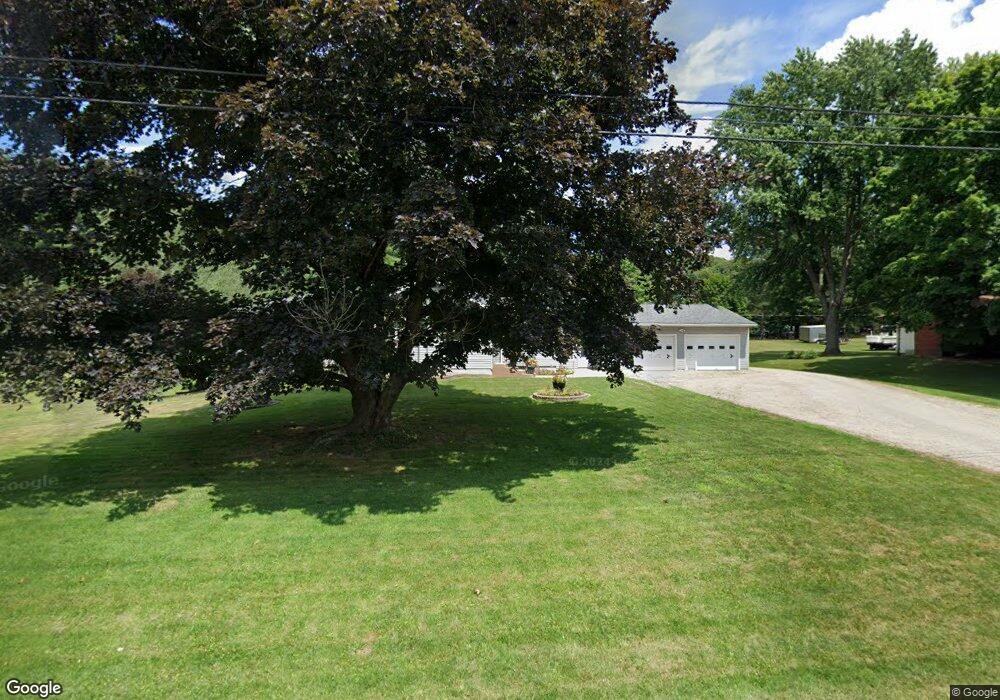
This home is located at 1803 State Route 39, Lucas, OH 44843 and is currently estimated at $262,000. 1803 State Route 39 is a home located in Richland County with nearby schools including Lucas Elementary School, Lucas Heritage Middle School, and Lucas High School.
Ownership History
Date
Name
Owned For
Owner Type
Purchase Details
Closed on
Dec 10, 2025
Sold by
Hunt Richard C and Hunt Robert A
Bought by
Hunt Family Trust and Hunt
Current Estimated Value
Purchase Details
Closed on
Sep 24, 2025
Sold by
Hunt Family Trust and Hunt Richard
Bought by
Hunt Richard C and Hunt Robert A
Purchase Details
Closed on
Mar 13, 2008
Sold by
Hunt Charles and Hunt Betty J
Bought by
Hunt Charles and Hunt Betty J
Home Financials for this Owner
Home Financials are based on the most recent Mortgage that was taken out on this home.
Original Mortgage
$93,000
Interest Rate
5.74%
Mortgage Type
Stand Alone Refi Refinance Of Original Loan
Purchase Details
Closed on
Mar 12, 2008
Sold by
Hunt Charles and Hunt Betty J
Bought by
Hunt Charles and Hunt Betty J
Home Financials for this Owner
Home Financials are based on the most recent Mortgage that was taken out on this home.
Original Mortgage
$93,000
Interest Rate
5.74%
Mortgage Type
Stand Alone Refi Refinance Of Original Loan
Purchase Details
Closed on
Aug 5, 2004
Sold by
Hunt Charles and Hunt Betty J
Bought by
Hunt Richard C and Hunt Victoria L
Create a Home Valuation Report for This Property
The Home Valuation Report is an in-depth analysis detailing your home's value as well as a comparison with similar homes in the area
Purchase History
| Date | Buyer | Sale Price | Title Company |
|---|---|---|---|
| Hunt Family Trust | -- | None Listed On Document | |
| Hunt Richard C | -- | None Listed On Document | |
| Hunt Charles | -- | None Available | |
| Hunt Charles | -- | Southern Title | |
| Hunt Richard C | -- | -- |
Source: Public Records
Mortgage History
| Date | Status | Borrower | Loan Amount |
|---|---|---|---|
| Previous Owner | Hunt Charles | $93,000 |
Source: Public Records
Tax History
| Year | Tax Paid | Tax Assessment Tax Assessment Total Assessment is a certain percentage of the fair market value that is determined by local assessors to be the total taxable value of land and additions on the property. | Land | Improvement |
|---|---|---|---|---|
| 2024 | $70 | $1,630 | $1,630 | $0 |
| 2023 | $70 | $1,630 | $1,630 | $0 |
| 2022 | $70 | $1,460 | $1,460 | $0 |
| 2021 | $70 | $1,460 | $1,460 | $0 |
| 2020 | $72 | $1,460 | $1,460 | $0 |
| 2019 | $65 | $1,240 | $1,240 | $0 |
| 2018 | $67 | $1,240 | $1,240 | $0 |
| 2017 | $64 | $1,240 | $1,240 | $0 |
| 2016 | $61 | $1,140 | $1,140 | $0 |
| 2015 | $61 | $1,140 | $1,140 | $0 |
| 2014 | $61 | $1,140 | $1,140 | $0 |
| 2012 | $60 | $1,140 | $1,140 | $0 |
Source: Public Records
Map
Nearby Homes
- 1851 State Route 39
- 2130 State Route 39
- St Rt 603
- 27 E Main St
- 28 N Union St
- 1 E Main St
- 2778 Lucas Perrysville Rd
- 2420 Mansfield Washington Rd
- 0 State Route 39 & I-71 Northeast Quadrant
- 2011 Ohio 39
- 0 State Route 39 & I-71 Southeast Quadrant
- 1715 Mansfield Lucas Rd
- 744 E Hanley Rd
- 0 Mount Zion Rd Unit 9069748
- 0 Woodville Rd Unit Lot 14952, 14953
- 0 Woodville Rd Unit Lot 14954, 14955
- 0 Woodville Rd Unit Lot 14956, 14957,
- 0 Peterson Rd
- 794 Mansfield Washington Rd
- 0 Mcelroy Rd
- 1803 State Route 39
- 1803 State Route 39
- 1803 State Route 39
- 1807 State Route 39
- 1787 State Route 39
- 1783 State Route 39
- 1795 State Route 39
- 1779 State Route 39
- 1815 State Route 39
- 1779 Ohio 39
- 1825 State Route 39
- 1775 State Route 39
- 1771 State Route 39
- 1765 State Route 39
- 1835 State Route 39
- 2849 Mansfield Lucas Rd
- 2845 Mansfield Lucas Rd
- 1796 Lucas Rd
- 2726 Mansfield Lucas Rd
- 2779 Mansfield Lucas Rd
Your Personal Tour Guide
Ask me questions while you tour the home.