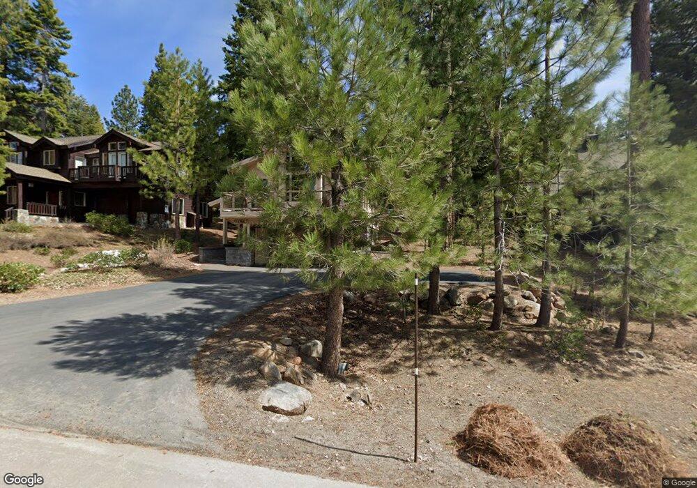
1803 Woods Point Way Truckee, CA 96161
South Truckee NeighborhoodEstimated Value: $805,000 - $1,892,000
4
Beds
3
Baths
2,335
Sq Ft
$639/Sq Ft
Est. Value
About This Home
This home is located at 1803 Woods Point Way, Truckee, CA 96161 and is currently estimated at $1,491,214, approximately $638 per square foot. 1803 Woods Point Way is a home located in Placer County with nearby schools including Truckee Elementary School, Alder Creek Middle School, and Tahoe Truckee High School.
Ownership History
Date
Name
Owned For
Owner Type
Purchase Details
Closed on
Dec 19, 1996
Sold by
Oakland Peter E and Oakland Linda E
Bought by
Oakland Peter E and Oakland Linda E
Current Estimated Value
Purchase Details
Closed on
Oct 11, 1996
Sold by
Oakland Peter E and Oakland Linda E
Bought by
Oakland Peter E and Oakland Linda E
Home Financials for this Owner
Home Financials are based on the most recent Mortgage that was taken out on this home.
Original Mortgage
$250,000
Outstanding Balance
$23,526
Interest Rate
8.37%
Estimated Equity
$1,467,688
Purchase Details
Closed on
Jan 8, 1996
Sold by
Asset Preservation Inc
Bought by
Oakland Peter E and Oakland Linda E
Purchase Details
Closed on
Aug 8, 1995
Sold by
Trimont Land Company
Bought by
Asset Preservation Inc
Create a Home Valuation Report for This Property
The Home Valuation Report is an in-depth analysis detailing your home's value as well as a comparison with similar homes in the area
Home Values in the Area
Average Home Value in this Area
Purchase History
| Date | Buyer | Sale Price | Title Company |
|---|---|---|---|
| Oakland Peter E | -- | -- | |
| Oakland Peter E | -- | Sierra Valley Title Co | |
| Oakland Peter E | $325,000 | Old Republic Title Company | |
| Asset Preservation Inc | $126,500 | Old Republic Title Company |
Source: Public Records
Mortgage History
| Date | Status | Borrower | Loan Amount |
|---|---|---|---|
| Open | Oakland Peter E | $250,000 |
Source: Public Records
Tax History Compared to Growth
Tax History
| Year | Tax Paid | Tax Assessment Tax Assessment Total Assessment is a certain percentage of the fair market value that is determined by local assessors to be the total taxable value of land and additions on the property. | Land | Improvement |
|---|---|---|---|---|
| 2025 | $9,392 | $657,331 | $209,463 | $447,868 |
| 2023 | $9,392 | $631,808 | $201,330 | $430,478 |
| 2022 | $9,064 | $619,421 | $197,383 | $422,038 |
| 2021 | $8,472 | $607,276 | $193,513 | $413,763 |
| 2020 | $8,490 | $601,050 | $191,529 | $409,521 |
| 2019 | $8,504 | $589,266 | $187,774 | $401,492 |
| 2018 | $8,251 | $577,713 | $184,093 | $393,620 |
| 2017 | $8,095 | $566,386 | $180,484 | $385,902 |
| 2016 | $8,034 | $555,282 | $176,946 | $378,336 |
| 2015 | $7,832 | $546,943 | $174,289 | $372,654 |
| 2014 | $8,238 | $536,230 | $170,875 | $365,355 |
Source: Public Records
Map
Nearby Homes
- 1723 Grouse Ridge Rd Unit 4
- 2640 Mill Site Rd
- 1937 Gray Wolf
- 1731 Grouse Ridge Rd
- 1750 Grouse Ridge Rd
- 2301 Overlook Place
- 2203 Silver Fox Unit New Year's Week - Sh
- 2344 Overlook Place
- 1329 Mill Camp
- 2790 Cross Cut Ct
- 2526 N Summit Place
- 6038 Mill Camp
- 2532 N Summit Place
- 2785 Cross Cut Ct
- 5053 Gold Bend
- 7201 Larkspur Ln Unit 4
- 7401 Larkspur Ln Unit 1
- 5030 Gold Bend
- 970 Northstar Dr Unit 306
- 970 Northstar Dr Unit 105
- 1805 Woods Point Way
- 1801 Woods Point Way
- 1807 Woods Point Way Unit BIG SPRINGS/NORTHSTA
- 1807 Woods Point Way
- 1807 Woods Point Way Unit 1807 Woods Point Way
- 1926 Gray Wolf
- 1804 Woods Point Way
- 1924 Gray Wolf
- 1802 Woods Point Way
- 1930 Gray Wolf
- 1806 Woods Point Way
- 1809 Woods Point Way
- 1922 Gray Wolf
- 1718 Grouse Ridge Rd
- 1716 Grouse Ridge Rd
- 1716 Grouse Ridge
- 1932 Gray Wolf
- 1720 Grouse Ridge
- 1714 Grouse Ridge
- 1808 Woods Point Way