18036 Duncan Cir Farmington, MN 55024
Estimated Value: $460,172 - $538,000
4
Beds
3
Baths
2,207
Sq Ft
$221/Sq Ft
Est. Value
About This Home
This home is located at 18036 Duncan Cir, Farmington, MN 55024 and is currently estimated at $487,543, approximately $220 per square foot. 18036 Duncan Cir is a home located in Dakota County with nearby schools including Akin Road Elementary School, Levi P. Dodge Middle School, and Farmington High School.
Ownership History
Date
Name
Owned For
Owner Type
Purchase Details
Closed on
Dec 29, 2017
Sold by
Alexander Michael E and Alexander Laura A
Bought by
Ghebrezghi Shewit Kiflom
Current Estimated Value
Purchase Details
Closed on
Sep 16, 2013
Sold by
Mattamy Minneapolis Partnership
Bought by
Tekle Sirak and Ghebrezqhi Shewit
Home Financials for this Owner
Home Financials are based on the most recent Mortgage that was taken out on this home.
Original Mortgage
$288,544
Interest Rate
4.38%
Mortgage Type
New Conventional
Create a Home Valuation Report for This Property
The Home Valuation Report is an in-depth analysis detailing your home's value as well as a comparison with similar homes in the area
Home Values in the Area
Average Home Value in this Area
Purchase History
| Date | Buyer | Sale Price | Title Company |
|---|---|---|---|
| Ghebrezghi Shewit Kiflom | $170,000 | Bankers Title | |
| Tekle Sirak | $297,572 | Dca Title |
Source: Public Records
Mortgage History
| Date | Status | Borrower | Loan Amount |
|---|---|---|---|
| Previous Owner | Tekle Sirak | $288,544 |
Source: Public Records
Tax History Compared to Growth
Tax History
| Year | Tax Paid | Tax Assessment Tax Assessment Total Assessment is a certain percentage of the fair market value that is determined by local assessors to be the total taxable value of land and additions on the property. | Land | Improvement |
|---|---|---|---|---|
| 2024 | $5,356 | $421,700 | $109,600 | $312,100 |
| 2023 | $5,356 | $439,800 | $109,800 | $330,000 |
| 2022 | $5,062 | $418,000 | $109,500 | $308,500 |
| 2021 | $4,794 | $359,000 | $95,200 | $263,800 |
| 2020 | $5,006 | $339,000 | $90,700 | $248,300 |
| 2019 | $4,867 | $339,700 | $86,400 | $253,300 |
| 2018 | $4,702 | $324,900 | $80,500 | $244,400 |
| 2017 | $4,738 | $305,700 | $76,700 | $229,000 |
| 2016 | $4,715 | $299,500 | $73,000 | $226,500 |
| 2015 | $4,318 | $278,969 | $67,795 | $211,174 |
| 2014 | -- | $269,268 | $62,912 | $206,356 |
| 2013 | -- | $9,480 | $9,480 | $0 |
Source: Public Records
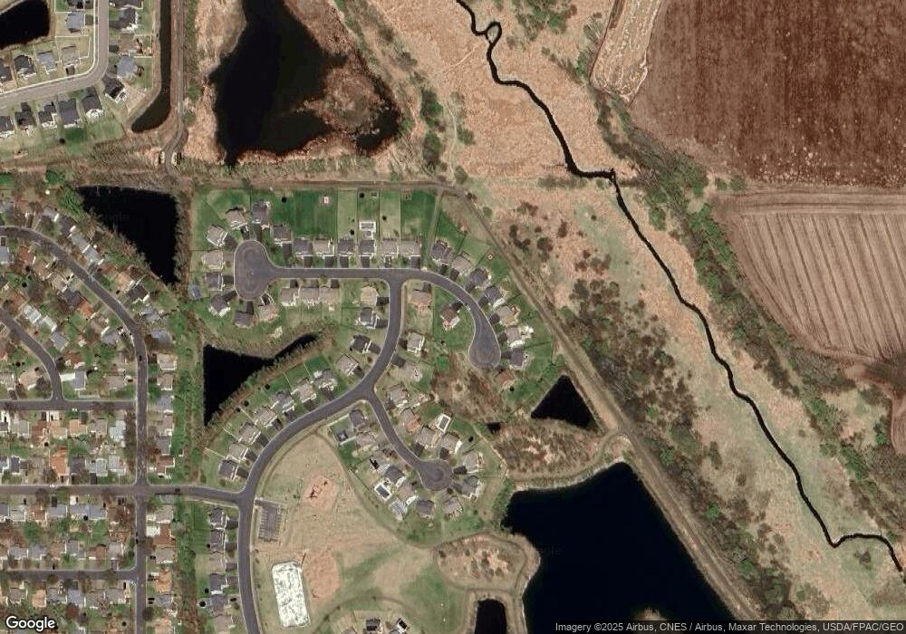
Map
Nearby Homes
- 17895 Eclipse Ave
- 17798 Eclipse Ave
- 18231 Elkwood Ave
- 17811 Ellsworth Dr
- 17836 Ellsworth Dr
- 17578 Driscoll Place
- 17580 Driscoll Place
- 17795 Ellsworth Dr
- 17812 Ellsworth Dr
- 17518 Driscoll Place
- 17522 Driscoll Place
- 17588 Driscoll Place
- 17516 Driscoll Place
- 18681 Dulaney Dr
- 17763 Ellsworth Dr
- 17589 Dunkirk Way
- Sierra Plan at Pheasant Run - Villas
- Clifton Plan at Pheasant Run - Villas
- 17772 Ellsworth Dr
- 18220 Empire Trail
- 18008 Duncan Cir
- 18094 Dunbury Ave
- 18047 Duncan Cir
- 18035 Duncan Cir
- 18023 Duncan Cir
- 18059 Duncan Cir
- 18102 Dunbury Ave
- 18011 Duncan Cir
- 18071 Duncan Cir
- 18085 Dunbury Ave
- 18083 Duncan Cir
- 18001 Duncan Ct
- 18093 Dunbury Ave
- 18095 Duncan Cir
- 18107 Dunbury Ct
- 18101 Dunbury Ave
- 18121 Dunbury Ct
- 18009 Duncan Ct
- 18017 Duncan Ct
- 18030 Duncan Ct