1804 Brentwood Pointe Franklin, TN 37067
Berrys Chapel NeighborhoodEstimated Value: $466,000 - $512,962
--
Bed
3
Baths
1,568
Sq Ft
$312/Sq Ft
Est. Value
About This Home
This home is located at 1804 Brentwood Pointe, Franklin, TN 37067 and is currently estimated at $488,491, approximately $311 per square foot. 1804 Brentwood Pointe is a home located in Williamson County with nearby schools including Johnson Elementary School, Freedom Intermediate School, and Freedom Middle School.
Ownership History
Date
Name
Owned For
Owner Type
Purchase Details
Closed on
Mar 5, 2025
Sold by
Steele Heather A
Bought by
2017 Alan Warren Morse Trust and Morse
Current Estimated Value
Purchase Details
Closed on
Feb 3, 2005
Sold by
Haury & Smith Contractors Inc
Bought by
Steele Heather A
Home Financials for this Owner
Home Financials are based on the most recent Mortgage that was taken out on this home.
Original Mortgage
$179,000
Interest Rate
5.62%
Mortgage Type
Commercial
Create a Home Valuation Report for This Property
The Home Valuation Report is an in-depth analysis detailing your home's value as well as a comparison with similar homes in the area
Home Values in the Area
Average Home Value in this Area
Purchase History
| Date | Buyer | Sale Price | Title Company |
|---|---|---|---|
| 2017 Alan Warren Morse Trust | $473,000 | None Listed On Document | |
| 2017 Alan Warren Morse Trust | $473,000 | None Listed On Document | |
| Steele Heather A | $199,000 | -- |
Source: Public Records
Mortgage History
| Date | Status | Borrower | Loan Amount |
|---|---|---|---|
| Previous Owner | Steele Heather A | $179,000 |
Source: Public Records
Tax History Compared to Growth
Tax History
| Year | Tax Paid | Tax Assessment Tax Assessment Total Assessment is a certain percentage of the fair market value that is determined by local assessors to be the total taxable value of land and additions on the property. | Land | Improvement |
|---|---|---|---|---|
| 2024 | $2,623 | $92,675 | $16,250 | $76,425 |
| 2023 | $2,521 | $92,675 | $16,250 | $76,425 |
| 2022 | $2,521 | $92,675 | $16,250 | $76,425 |
| 2021 | $2,521 | $92,675 | $16,250 | $76,425 |
| 2020 | $2,202 | $68,225 | $12,000 | $56,225 |
| 2019 | $2,202 | $68,225 | $12,000 | $56,225 |
| 2018 | $2,154 | $68,225 | $12,000 | $56,225 |
| 2017 | $2,120 | $68,225 | $12,000 | $56,225 |
| 2016 | $0 | $68,225 | $12,000 | $56,225 |
| 2015 | -- | $55,825 | $11,250 | $44,575 |
| 2014 | -- | $55,825 | $11,250 | $44,575 |
Source: Public Records
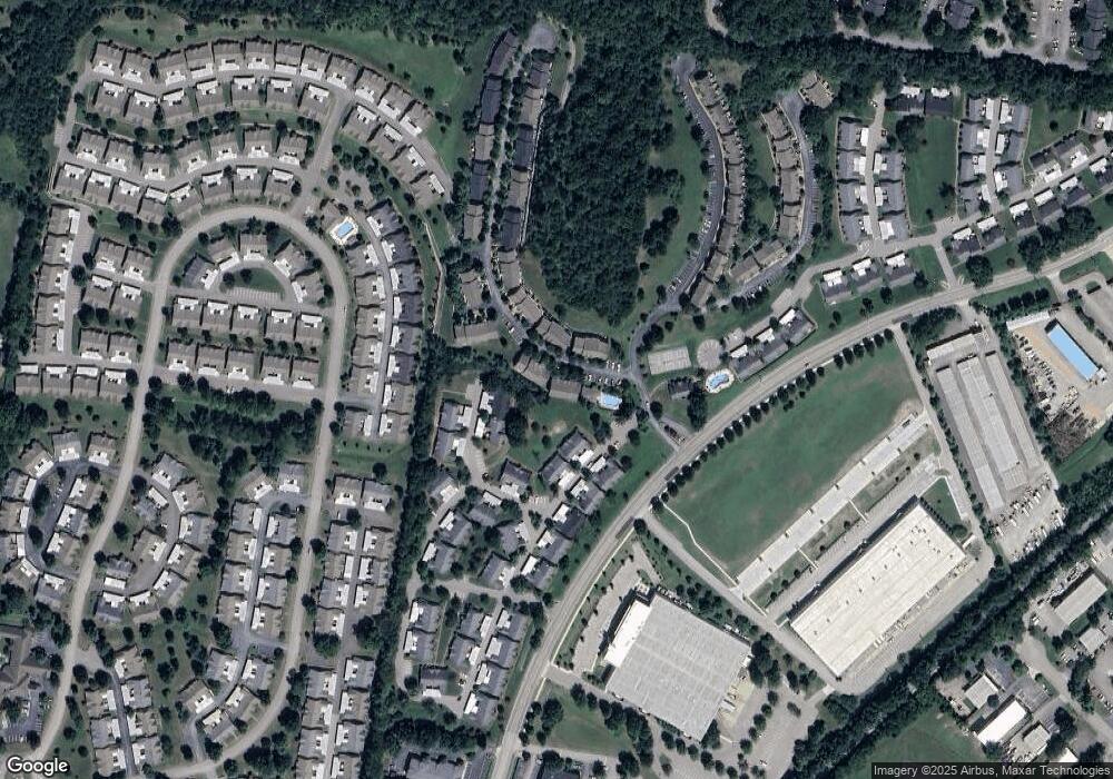
Map
Nearby Homes
- 1815 Brentwood Pointe
- 1526 Brentwood Pointe Unit 1526
- 9008 Sunrise Cir
- 1612 Brentwood Pointe
- 1833 Brentwood Pointe
- 8009 Sunrise Cir Unit 8009
- 8008 Sunrise Cir Unit 8008
- 6041 Sunrise Cir Unit 6041
- 6018 Sunrise Cir Unit 6018
- 509 Elk Hollow Ct
- 921 Brentwood Point
- 540 Franklin Rd
- 152 Mallory Station Rd
- 517 Franklin Rd
- 1145 Brentwood Point Unit 1145
- 1115 Brentwood Point
- 1123 Brentwood Point Unit 1123
- 475 Franklin Rd
- 116 Century Oak Dr
- 1409 Moher Blvd
- 1803 Brentwood Pointe
- 1802 Brentwood Pointe
- 1801 Brentwood Pointe
- 1805 Brentwood Pointe
- 1806 Brentwood Pointe
- 1808 Brentwood Pointe
- 1871 Brentwood Pointe
- 1870 Brentwood Pointe
- 1869 Brentwood Pointe
- 1872 Brentwood Pointe
- 1873 Brentwood Pointe Unit 1873
- 1873 Brentwood Pointe
- 1519 Brentwood Pointe
- 1518 Brentwood Pointe
- 1518 Brentwood Pointe Unit 1518
- 1508 Brentwood Pointe
- 1868 Brentwood Pointe
- 1867 Brentwood Pointe
- 1866 Brentwood Pointe
- 1510 Brentwood Pointe Unit 1510