Estimated Value: $809,000 - $936,000
4
Beds
2
Baths
1,883
Sq Ft
$457/Sq Ft
Est. Value
About This Home
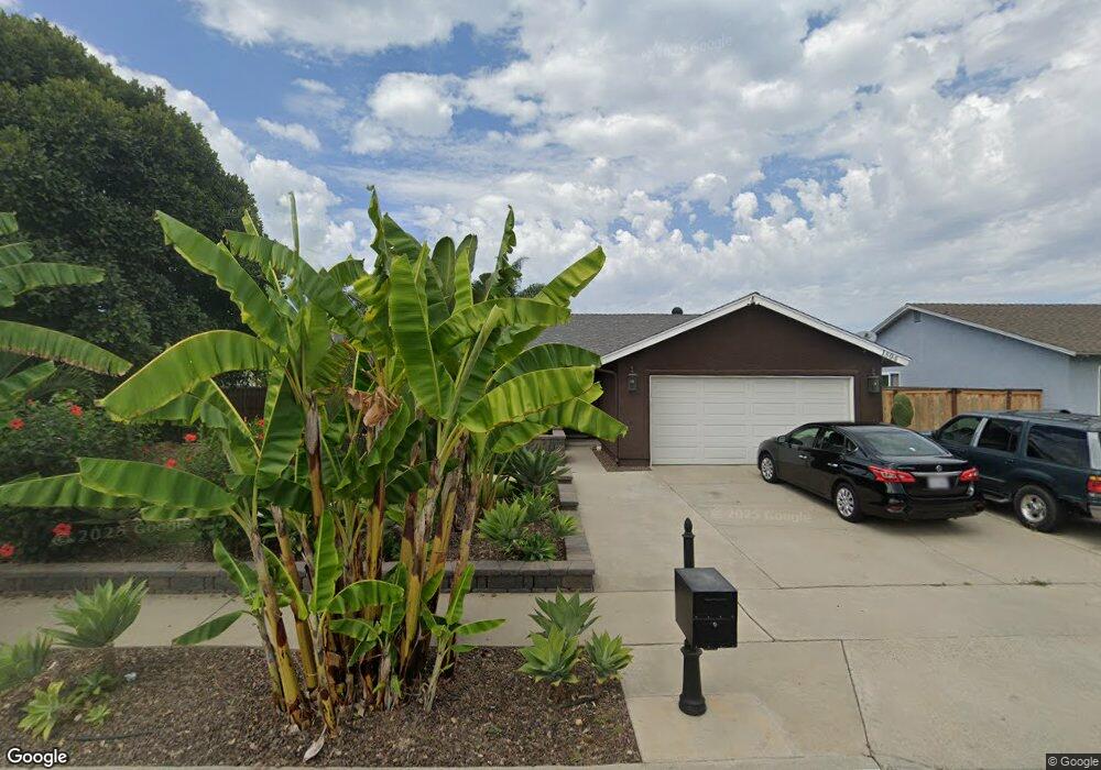
This home is located at 1804 Debra Ln, Vista, CA 92084 and is currently estimated at $860,059, approximately $456 per square foot. 1804 Debra Ln is a home located in San Diego County with nearby schools including Mission Meadows Elementary School, Roosevelt Middle School, and Vista High School.
Ownership History
Date
Name
Owned For
Owner Type
Purchase Details
Closed on
Dec 6, 2023
Sold by
Tellechea Paul F and Tellechea Maxine
Bought by
Tellechea Family Trust and Tellechea
Current Estimated Value
Purchase Details
Closed on
Oct 6, 2009
Sold by
Marin Israel and Marin Herlinda
Bought by
Tellechea Paul F and Tellechea Maxine
Home Financials for this Owner
Home Financials are based on the most recent Mortgage that was taken out on this home.
Original Mortgage
$282,865
Interest Rate
5%
Mortgage Type
FHA
Purchase Details
Closed on
Oct 8, 1999
Sold by
Griffiths Keith R and Griffiths Cynthia K
Bought by
Marin Israel and Marin Herlinda
Home Financials for this Owner
Home Financials are based on the most recent Mortgage that was taken out on this home.
Original Mortgage
$132,690
Interest Rate
7.82%
Purchase Details
Closed on
Apr 6, 1993
Purchase Details
Closed on
Sep 23, 1987
Purchase Details
Closed on
Mar 28, 1985
Create a Home Valuation Report for This Property
The Home Valuation Report is an in-depth analysis detailing your home's value as well as a comparison with similar homes in the area
Home Values in the Area
Average Home Value in this Area
Purchase History
| Date | Buyer | Sale Price | Title Company |
|---|---|---|---|
| Tellechea Family Trust | -- | None Listed On Document | |
| Tellechea Paul F | $305,000 | Lawyers Title | |
| Marin Israel | $137,000 | Chicago Title Co | |
| -- | $160,000 | -- | |
| -- | $111,000 | -- | |
| -- | $90,000 | -- |
Source: Public Records
Mortgage History
| Date | Status | Borrower | Loan Amount |
|---|---|---|---|
| Previous Owner | Tellechea Paul F | $282,865 | |
| Previous Owner | Marin Israel | $132,690 |
Source: Public Records
Tax History Compared to Growth
Tax History
| Year | Tax Paid | Tax Assessment Tax Assessment Total Assessment is a certain percentage of the fair market value that is determined by local assessors to be the total taxable value of land and additions on the property. | Land | Improvement |
|---|---|---|---|---|
| 2025 | $4,918 | $393,684 | $193,616 | $200,068 |
| 2024 | $4,918 | $385,966 | $189,820 | $196,146 |
| 2023 | $4,816 | $378,399 | $186,099 | $192,300 |
| 2022 | $4,804 | $370,980 | $182,450 | $188,530 |
| 2021 | $4,699 | $363,707 | $178,873 | $184,834 |
| 2020 | $4,671 | $359,978 | $177,039 | $182,939 |
| 2019 | $4,605 | $352,920 | $173,568 | $179,352 |
| 2018 | $4,412 | $346,001 | $170,165 | $175,836 |
| 2017 | $4,342 | $339,218 | $166,829 | $172,389 |
| 2016 | $4,242 | $332,567 | $163,558 | $169,009 |
| 2015 | $4,217 | $327,573 | $161,102 | $166,471 |
| 2014 | $4,117 | $321,158 | $157,947 | $163,211 |
Source: Public Records
Map
Nearby Homes
- 1957 Cresthaven Dr
- 1935 Cresthaven Dr
- 1628 Manor Dr
- 2080 Curtis Dr
- 300 Paseo Marguerita
- 1768 Henderson Ct
- 1998 Paseo Del Rey
- 1649 San Luis Rey Ave
- 2033 Paseo de Anza
- 554 Taylor St
- 2090 Curtis Dr
- 245 W Bobier Dr Unit 64
- 378 Paseo Marguerita
- 2055 Riviera Dr
- 2326 Maelee Dr
- 2167 N Santa fe Ave Unit 5
- 231 Cananea St
- 329 Nicole Dr
- 453 Adobe Estates Dr
- 1501 Anza Ave Unit 5