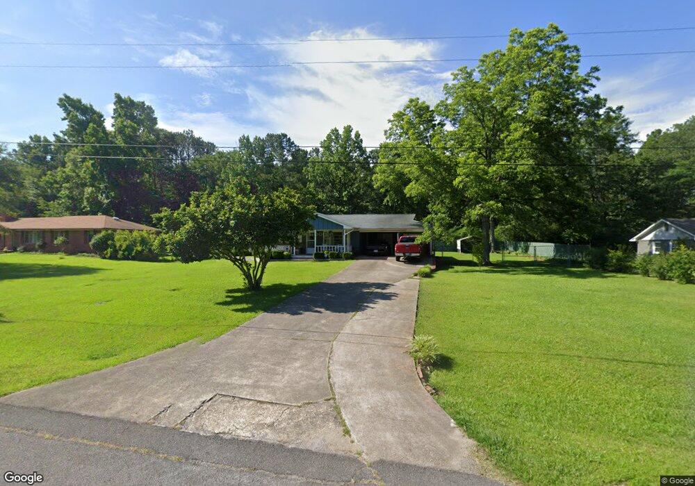
1804 Devon Dr Jasper, AL 35501
Estimated Value: $187,071 - $228,000
Studio
1
Bath
1,485
Sq Ft
$137/Sq Ft
Est. Value
About This Home
This home is located at 1804 Devon Dr, Jasper, AL 35501 and is currently estimated at $202,768, approximately $136 per square foot. 1804 Devon Dr is a home located in Walker County with nearby schools including T. R. Simmons Elementary School, Maddox Intermediate School, and Memorial Park Elementary School.
Ownership History
Date
Name
Owned For
Owner Type
Purchase Details
Closed on
Sep 22, 2023
Sold by
Medders Mary E
Bought by
Fowler William A
Current Estimated Value
Home Financials for this Owner
Home Financials are based on the most recent Mortgage that was taken out on this home.
Original Mortgage
$169,400
Outstanding Balance
$165,966
Interest Rate
7.2%
Mortgage Type
Construction
Estimated Equity
$36,802
Purchase Details
Closed on
Dec 8, 2015
Sold by
Medders Mary Emojene
Bought by
Medders Mary Emojene
Create a Home Valuation Report for This Property
The Home Valuation Report is an in-depth analysis detailing your home's value as well as a comparison with similar homes in the area
Home Values in the Area
Average Home Value in this Area
Purchase History
| Date | Buyer | Sale Price | Title Company |
|---|---|---|---|
| Fowler William A | $169,400 | Attorney Only | |
| Medders Mary Emojene | $84,000 | -- |
Source: Public Records
Mortgage History
| Date | Status | Borrower | Loan Amount |
|---|---|---|---|
| Open | Fowler William A | $169,400 |
Source: Public Records
Tax History
| Year | Tax Paid | Tax Assessment Tax Assessment Total Assessment is a certain percentage of the fair market value that is determined by local assessors to be the total taxable value of land and additions on the property. | Land | Improvement |
|---|---|---|---|---|
| 2024 | $1,475 | $36,880 | $1,280 | $35,600 |
| 2023 | $1,475 | $13,870 | $640 | $13,230 |
| 2022 | $0 | $12,030 | $640 | $11,390 |
| 2021 | $352 | $11,038 | $640 | $10,398 |
| 2020 | $352 | $11,040 | $640 | $10,400 |
| 2019 | $352 | $10,560 | $640 | $9,920 |
| 2018 | $0 | $8,800 | $640 | $8,160 |
| 2017 | $0 | $8,800 | $640 | $8,160 |
| 2016 | $352 | $8,800 | $640 | $8,160 |
| 2015 | $336 | $8,400 | $640 | $7,760 |
| 2014 | -- | $7,540 | $640 | $6,900 |
| 2013 | -- | $7,540 | $640 | $6,900 |
Source: Public Records
Map
Nearby Homes
- 1804 Devon Dr
- 345 Troubadour Ln
- 323 Troubadour Ln
- 335 Troubadour Ln
- 289 Troubadour Ln
- 88 Lancelot Cove
- 64 Lancelot Cove
- 21 Lancelot Cove
- 00 Viking Dr
- 2100 Indiana Ave
- 1406 Valley Rd
- 1200 Valley Rd
- 37 Kings Way
- 605 20th St E
- 2009 Florida Ave
- 605 18th St E
- 2205 Euclid Ave
- 501 20th St E
- 0 College Hill Rd
- 0 Pleasant Way
- 1804 Devon Dr
- 1804 Devon Dr
- 1804 Devon Dr
- 1808 Devon Dr
- 1900 Devon Dr
- 1706 Devon Dr
- 1801 Devon Dr
- 1703 Devon Dr
- 2302 20th Ave E
- 2302 20th Ave E
- 2401 Central Ave
- 1700 Devon Dr
- 2400 Central Ave
- 2100 20th Ave E
- 2100 20th Ave E
- 2100 20th Ave E Unit 37510042
- 2100 20th Ave E Unit 37510043
- 2100 20th Ave E Unit 37510044
- 2100 20th Ave E Unit 37510041
- 1701 Devon Dr
Your Personal Tour Guide
Ask me questions while you tour the home.