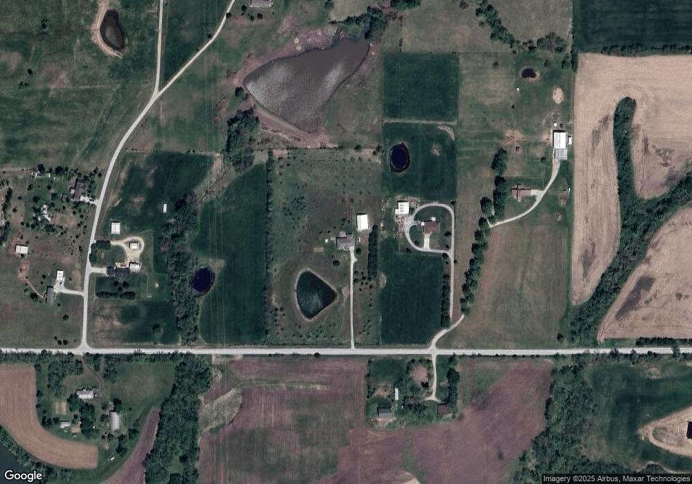
18040 Mcintyre Rd Leavenworth, KS 66048
Estimated Value: $540,000 - $694,000
4
Beds
2
Baths
2,530
Sq Ft
$239/Sq Ft
Est. Value
About This Home
This home is located at 18040 Mcintyre Rd, Leavenworth, KS 66048 and is currently estimated at $605,708, approximately $239 per square foot. 18040 Mcintyre Rd is a home located in Leavenworth County with nearby schools including Tonganoxie Elementary School, Tonganoxie Middle School, and Tonganoxie High School.
Ownership History
Date
Name
Owned For
Owner Type
Purchase Details
Closed on
Mar 7, 2025
Sold by
Gann Jeffrey A and Gann Nancy K
Bought by
Gann Living Trust and Gann
Current Estimated Value
Purchase Details
Closed on
Mar 1, 2001
Bought by
Gann Jeffrey A and Gann Nancy K
Home Financials for this Owner
Home Financials are based on the most recent Mortgage that was taken out on this home.
Original Mortgage
$243,000
Interest Rate
7.12%
Mortgage Type
New Conventional
Create a Home Valuation Report for This Property
The Home Valuation Report is an in-depth analysis detailing your home's value as well as a comparison with similar homes in the area
Home Values in the Area
Average Home Value in this Area
Purchase History
| Date | Buyer | Sale Price | Title Company |
|---|---|---|---|
| Gann Living Trust | -- | None Listed On Document | |
| Gann Jeffrey A | $235,000 | -- |
Source: Public Records
Mortgage History
| Date | Status | Borrower | Loan Amount |
|---|---|---|---|
| Previous Owner | Gann Jeffrey A | $243,000 | |
| Closed | Gann Jeffrey A | $240,000 |
Source: Public Records
Tax History Compared to Growth
Tax History
| Year | Tax Paid | Tax Assessment Tax Assessment Total Assessment is a certain percentage of the fair market value that is determined by local assessors to be the total taxable value of land and additions on the property. | Land | Improvement |
|---|---|---|---|---|
| 2025 | $6,040 | $52,184 | $7,297 | $44,887 |
| 2024 | $6,040 | $51,990 | $6,564 | $45,426 |
| 2023 | $6,040 | $50,343 | $6,470 | $43,873 |
| 2022 | $5,018 | $45,278 | $5,580 | $39,698 |
| 2021 | $5,018 | $40,493 | $4,397 | $36,096 |
| 2020 | $4,749 | $38,195 | $4,219 | $33,976 |
| 2019 | $4,671 | $38,177 | $3,626 | $34,551 |
| 2018 | $4,919 | $40,181 | $7,665 | $32,516 |
| 2017 | $4,529 | $36,743 | $7,665 | $29,078 |
| 2016 | $4,458 | $36,248 | $7,282 | $28,966 |
| 2015 | $4,273 | $35,127 | $7,282 | $27,845 |
| 2014 | $3,974 | $33,380 | $7,313 | $26,067 |
Source: Public Records
Map
Nearby Homes
- 17860 Clearview Dr
- 25055 Woodridge Cir
- 25030 177th Terrace
- 24450 171st St
- 25770 Tonganoxie Dr
- 16430 Dana Ln
- 26277 187th St
- Lot 6 163rd St
- 00000 Gilman Rd
- 5 acres Hollingsworth Rd
- 17931 Hollingsworth Rd
- 22119 171st St
- 17739 Eisenhower Rd
- 21851 179th St
- 16781 Hollingsworth Rd
- 17096 Eisenhower Rd
- 15280 Roger Rd
- 22617 155th St
- 0000 Eisenhower Rd
- 16055 W Eisenhower Rd
- 17990 Mcintyre Rd
- 17981 Mcintyre Rd
- 24410 182nd St
- 17980 Mcintyre Rd
- 24550 182nd St
- 24421 182nd St
- 18225 Mcintyre Rd
- 24556 182nd St
- 24415 182nd St
- 18402 Jamison Rd
- 24821 177th Terrace
- 17602 Mcintyre Rd
- 24309 Tonganoxie Rd
- 17906 Seymour Rd
- 18066 Seymour Rd
- 17902 Seymour Rd
- 24997 177th Terrace
- 0000 Toganoxie Dr
- 0000 Tonganoxie Dr
- 24229 Tonganoxie Dr
