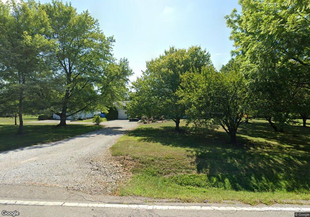
1805 Bixby Rd Lockbourne, OH 43137
Estimated Value: $341,000 - $414,000
3
Beds
2
Baths
1,680
Sq Ft
$228/Sq Ft
Est. Value
About This Home
This home is located at 1805 Bixby Rd, Lockbourne, OH 43137 and is currently estimated at $382,688, approximately $227 per square foot. 1805 Bixby Rd is a home located in Franklin County with nearby schools including Hamilton Elementary School, Hamilton Intermediate School, and Hamilton Middle School.
Ownership History
Date
Name
Owned For
Owner Type
Purchase Details
Closed on
Mar 13, 2020
Sold by
Hirt Charles J
Bought by
Blackstone Todd A and Blackstone Sandra J
Current Estimated Value
Purchase Details
Closed on
Feb 12, 2002
Sold by
Smith Carrie
Bought by
Smith Robert L and Smith Carrie
Create a Home Valuation Report for This Property
The Home Valuation Report is an in-depth analysis detailing your home's value as well as a comparison with similar homes in the area
Home Values in the Area
Average Home Value in this Area
Purchase History
| Date | Buyer | Sale Price | Title Company |
|---|---|---|---|
| Blackstone Todd A | -- | None Available | |
| Smith Robert L | -- | -- |
Source: Public Records
Tax History Compared to Growth
Tax History
| Year | Tax Paid | Tax Assessment Tax Assessment Total Assessment is a certain percentage of the fair market value that is determined by local assessors to be the total taxable value of land and additions on the property. | Land | Improvement |
|---|---|---|---|---|
| 2024 | $4,991 | $106,720 | $17,850 | $88,870 |
| 2023 | $4,965 | $106,715 | $17,850 | $88,865 |
| 2022 | $4,008 | $72,210 | $21,420 | $50,790 |
| 2021 | $4,062 | $72,210 | $21,420 | $50,790 |
| 2020 | $4,139 | $72,210 | $21,420 | $50,790 |
| 2019 | $3,892 | $60,170 | $17,850 | $42,320 |
| 2018 | $2,190 | $60,170 | $17,850 | $42,320 |
| 2017 | $3,443 | $60,170 | $17,850 | $42,320 |
| 2016 | $3,809 | $67,410 | $18,550 | $48,860 |
| 2015 | $3,614 | $67,410 | $18,550 | $48,860 |
| 2014 | $3,595 | $67,410 | $18,550 | $48,860 |
| 2013 | $1,951 | $74,865 | $20,580 | $54,285 |
Source: Public Records
Map
Nearby Homes
- 1315 Webb Dr Unit Lot 93
- 1291 Webb Dr Unit Lot 90
- 1292 Webb Dr Unit Lot 83
- 5081 Lockbourne Rd
- 1987 Reese Ave
- 5103 Fairlane Rd
- 1962 Reese Ave
- 1099 Secrest Ave
- 1059 Belford Ave
- 5186 Edgeview Rd
- 4990 Root Place
- 4410 Holstein Dr
- 1817 Marlboro Ave
- 4241 Gelbray Ct
- 1632 Marlboro Ave
- 1341 Halfhill Way
- 4417 Lancaster Ave
- 4175 Holstein Dr
- 4412 Catamaran Dr
- 134 Buckeye Cir Unit B132