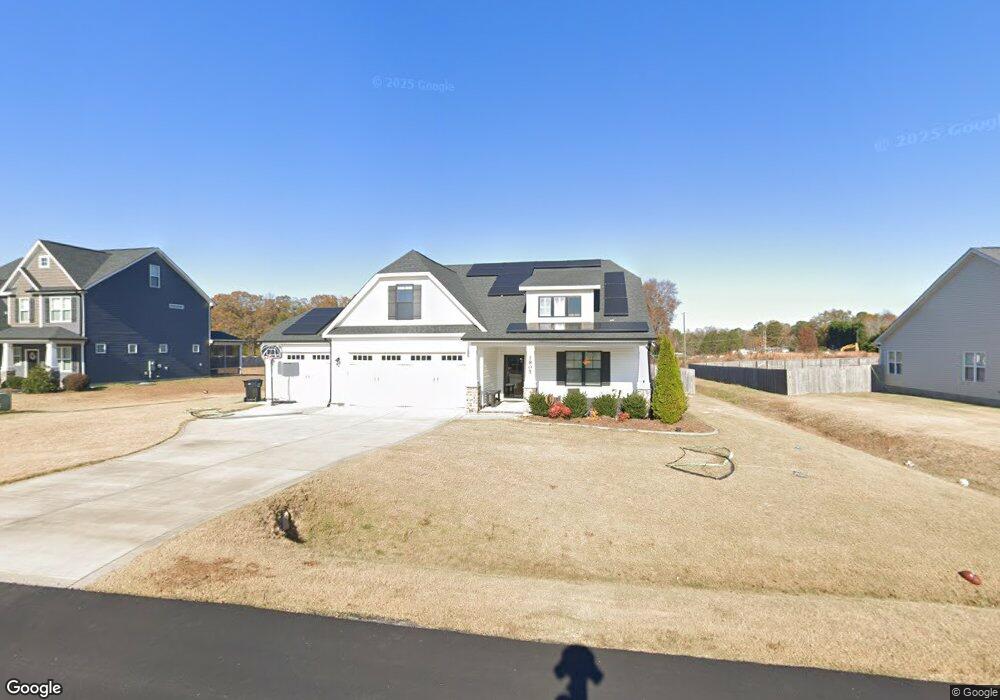
1805 Huntsbridge Dr Clayton, NC 27520
Estimated Value: $465,000 - $563,000
4
Beds
3
Baths
2,976
Sq Ft
$170/Sq Ft
Est. Value
About This Home
This home is located at 1805 Huntsbridge Dr, Clayton, NC 27520 and is currently estimated at $506,234, approximately $170 per square foot. 1805 Huntsbridge Dr is a home located in Johnston County with nearby schools including West Clayton Elementary School, Clayton Middle School, and Clayton High.
Ownership History
Date
Name
Owned For
Owner Type
Purchase Details
Closed on
Nov 8, 2019
Sold by
Weaver Homes Inc
Bought by
Knoll Lori Nicole Robinson and Knoll Jonathan Alan
Current Estimated Value
Home Financials for this Owner
Home Financials are based on the most recent Mortgage that was taken out on this home.
Original Mortgage
$296,774
Outstanding Balance
$261,344
Interest Rate
3.65%
Mortgage Type
New Conventional
Estimated Equity
$244,890
Purchase Details
Closed on
Mar 7, 2019
Sold by
Rms In Vestments Llc
Bought by
Weaver Homes Inc
Purchase Details
Closed on
Aug 9, 2018
Sold by
Techtwood Branch Llc
Bought by
Rms Investments Llc
Create a Home Valuation Report for This Property
The Home Valuation Report is an in-depth analysis detailing your home's value as well as a comparison with similar homes in the area
Home Values in the Area
Average Home Value in this Area
Purchase History
| Date | Buyer | Sale Price | Title Company |
|---|---|---|---|
| Knoll Lori Nicole Robinson | $371,000 | None Available | |
| Weaver Homes Inc | $186,000 | None Available | |
| Rms Investments Llc | $124,000 | None Available |
Source: Public Records
Mortgage History
| Date | Status | Borrower | Loan Amount |
|---|---|---|---|
| Open | Knoll Lori Nicole Robinson | $296,774 |
Source: Public Records
Tax History Compared to Growth
Tax History
| Year | Tax Paid | Tax Assessment Tax Assessment Total Assessment is a certain percentage of the fair market value that is determined by local assessors to be the total taxable value of land and additions on the property. | Land | Improvement |
|---|---|---|---|---|
| 2025 | $3,238 | $509,950 | $80,000 | $429,950 |
| 2024 | $2,855 | $352,520 | $62,000 | $290,520 |
| 2023 | $2,961 | $352,520 | $62,000 | $290,520 |
| 2022 | $2,988 | $352,520 | $62,000 | $290,520 |
| 2021 | $2,988 | $352,520 | $62,000 | $290,520 |
| 2020 | $3,067 | $349,500 | $62,000 | $287,500 |
| 2019 | $544 | $62,000 | $62,000 | $0 |
Source: Public Records
Map
Nearby Homes
- 122 Enterprise Dr
- 10 Forest Brook Way
- 637 Marrian Dr
- 80 Liam St
- 103 Liam St Unit 108
- 249 Finley Ct
- 2013 Myrtle Ln
- 1015 Mulberry Rd
- 2004 Magnolia Ct
- 2579 Valley Dr
- 108 Reagan Crest Dr
- 14 Ct
- 36 Pink Iris Ct
- 37 Pink Iris Ct
- 24 Pink Iris Ct
- 49 W Fire Opal Ct
- 54 E Fire Opal Ct
- 3001 Softwind Dr
- 20 Sugarpine Trail
- 1812 Parkside Village Dr
- 1809 Huntsbridge Dr
- 1801 Huntsbridge Dr
- 1813 Huntsbridge Dr
- 20 Silo St
- 1804 Huntsbridge Dr
- 1808 Huntsbridge Dr
- 44 Silo St
- 187 Haystack Ln
- 2201 Englewood Dr
- 1812 Huntsbridge Dr
- 2205 Englewood Dr
- 441 Avery Farm Ln
- 158 Haystack Ln
- 2109 Englewood Dr
- 153 Haystack Ln
- 2209 Englewood Dr
- 138 Haystack Ln
- 2200 Englewood Dr
- 112 Haystack Ln
- 127 Haystack Ln