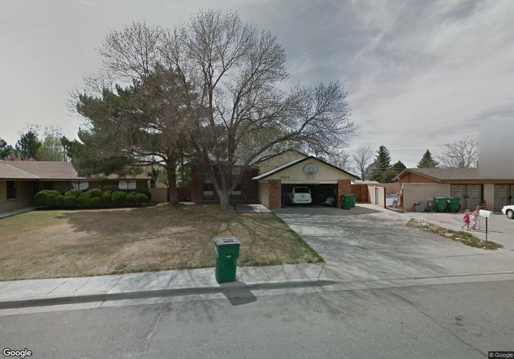
1805 N Western Ave Farmington, NM 87401
Estimated Value: $272,000 - $392,000
--
Bed
--
Bath
1,288
Sq Ft
$258/Sq Ft
Est. Value
About This Home
This home is located at 1805 N Western Ave, Farmington, NM 87401 and is currently estimated at $332,643, approximately $258 per square foot. 1805 N Western Ave is a home located in San Juan County with nearby schools including McKinley Elementary School, Tibbetts Middle School, and Farmington High School.
Ownership History
Date
Name
Owned For
Owner Type
Purchase Details
Closed on
May 1, 2014
Sold by
Stowell Phillip Scott and Stowell Misha Gail
Bought by
Velarde Miguel Roque and Velarde Katherine
Current Estimated Value
Home Financials for this Owner
Home Financials are based on the most recent Mortgage that was taken out on this home.
Original Mortgage
$247,000
Outstanding Balance
$188,454
Interest Rate
4.36%
Mortgage Type
New Conventional
Estimated Equity
$144,189
Create a Home Valuation Report for This Property
The Home Valuation Report is an in-depth analysis detailing your home's value as well as a comparison with similar homes in the area
Home Values in the Area
Average Home Value in this Area
Purchase History
| Date | Buyer | Sale Price | Title Company |
|---|---|---|---|
| Velarde Miguel Roque | -- | None Available |
Source: Public Records
Mortgage History
| Date | Status | Borrower | Loan Amount |
|---|---|---|---|
| Open | Velarde Miguel Roque | $247,000 |
Source: Public Records
Tax History Compared to Growth
Tax History
| Year | Tax Paid | Tax Assessment Tax Assessment Total Assessment is a certain percentage of the fair market value that is determined by local assessors to be the total taxable value of land and additions on the property. | Land | Improvement |
|---|---|---|---|---|
| 2024 | $2,039 | $85,750 | $0 | $0 |
| 2023 | $2,039 | $83,253 | $0 | $0 |
| 2022 | $1,943 | $80,828 | $0 | $0 |
| 2021 | $1,872 | $78,474 | $0 | $0 |
| 2020 | $1,851 | $77,841 | $0 | $0 |
| 2019 | $1,837 | $77,649 | $0 | $0 |
| 2018 | $1,836 | $79,757 | $0 | $0 |
| 2017 | $1,829 | $78,388 | $0 | $0 |
| 2016 | $1,790 | $78,388 | $0 | $0 |
| 2015 | $1,760 | $78,388 | $0 | $0 |
| 2014 | $1,652 | $69,755 | $0 | $0 |
Source: Public Records
Map
Nearby Homes
- 1805 Brenwood Dr
- 636 Ridge Lea Ct
- 212 W Sunset Place
- XX Brookside Dr
- 195 McDonald Rd
- LOT 4 XX W 24th St
- 200 W 24th St
- 2413 N Municipal Dr
- 212 W 25th St
- 1011 N Auburn Ave
- 2412 Pheasant Place
- 1013 N Orchard Dr
- 2900 Northwood Dr
- 1108 N Dustin Ave
- 2906 Northwood Dr
- 3104 N Western Ave
- 3003 Northwood Cir
- 3108 N Mesa Dr
- 607 E 16th St
- 3105 N Sunset Ave
- 1803 N Western Ave
- 1807 N Western Ave
- 1712 Brenwood Dr
- 1716 Brenwood Dr
- 1808 N Western Ave
- 1710 Brenwood Dr
- 1800 Brenwood Dr
- 500 McDonald Rd
- 504 McDonald Rd
- 1901 N Western Ave
- 410 McDonald Rd
- 507 Iva Dr
- 1804 Brenwood Dr
- 609 Ridge Lea Ct
- 408 McDonald Rd
- 1903 N Western Ave
- 1806 Brenwood Dr
- 505 Iva Dr
- 608 Ridge Lea Ct
- 406 McDonald Rd