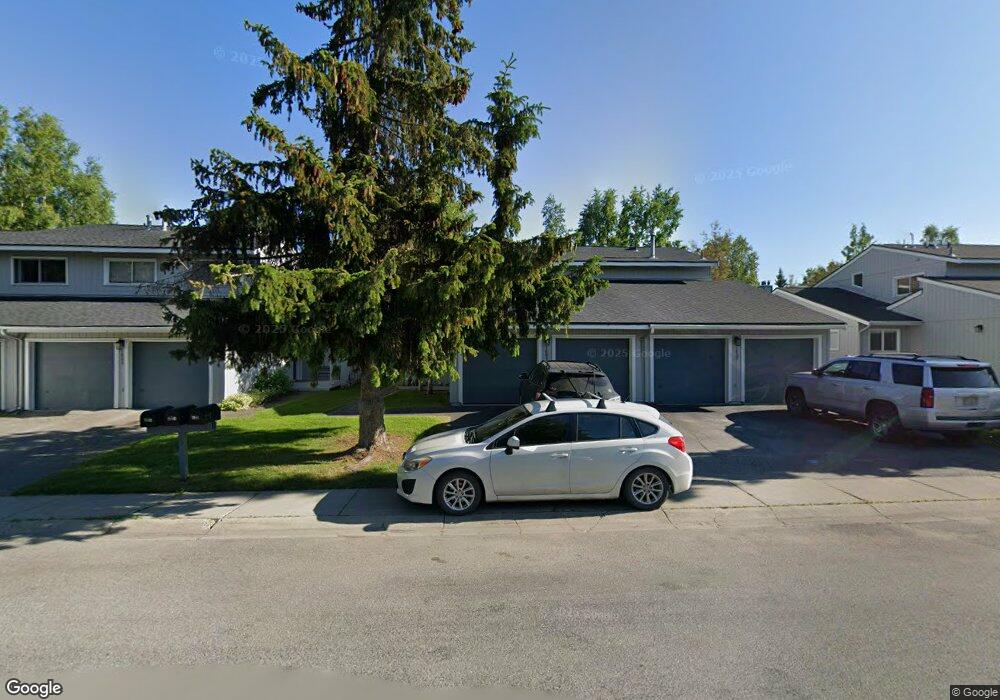
1805 Parkside Dr Anchorage, AK 99501
Airport Heights NeighborhoodEstimated Value: $199,000 - $370,002
3
Beds
2
Baths
1,497
Sq Ft
$205/Sq Ft
Est. Value
About This Home
This home is located at 1805 Parkside Dr, Anchorage, AK 99501 and is currently estimated at $306,334, approximately $204 per square foot. 1805 Parkside Dr is a home located in Anchorage Municipality with nearby schools including Airport Heights Elementary School, Wendler Middle School, and Bettye Davis East Anchorage High School.
Ownership History
Date
Name
Owned For
Owner Type
Purchase Details
Closed on
Jun 7, 2007
Sold by
Barnett Peggy A
Bought by
Gore Anne E
Current Estimated Value
Home Financials for this Owner
Home Financials are based on the most recent Mortgage that was taken out on this home.
Original Mortgage
$92,760
Outstanding Balance
$56,605
Interest Rate
6.14%
Mortgage Type
Purchase Money Mortgage
Estimated Equity
$249,729
Create a Home Valuation Report for This Property
The Home Valuation Report is an in-depth analysis detailing your home's value as well as a comparison with similar homes in the area
Home Values in the Area
Average Home Value in this Area
Purchase History
| Date | Buyer | Sale Price | Title Company |
|---|---|---|---|
| Gore Anne E | -- | United Title |
Source: Public Records
Mortgage History
| Date | Status | Borrower | Loan Amount |
|---|---|---|---|
| Open | Gore Anne E | $92,760 |
Source: Public Records
Tax History
| Year | Tax Paid | Tax Assessment Tax Assessment Total Assessment is a certain percentage of the fair market value that is determined by local assessors to be the total taxable value of land and additions on the property. | Land | Improvement |
|---|---|---|---|---|
| 2025 | $5,199 | $335,000 | $86,800 | $248,200 |
| 2024 | $5,199 | $322,000 | $86,800 | $235,200 |
| 2023 | $5,039 | $295,900 | $86,800 | $209,100 |
| 2022 | $4,853 | $288,200 | $86,800 | $201,400 |
| 2021 | $4,775 | $265,000 | $86,800 | $178,200 |
| 2020 | $4,328 | $254,600 | $86,800 | $167,800 |
| 2019 | $4,290 | $262,200 | $86,800 | $175,400 |
| 2018 | $4,257 | $259,600 | $82,000 | $177,600 |
| 2017 | $1,982 | $265,300 | $82,000 | $183,300 |
| 2016 | $3,684 | $258,400 | $78,800 | $179,600 |
| 2015 | $3,684 | $251,000 | $78,800 | $172,200 |
| 2014 | $3,684 | $248,100 | $78,800 | $169,300 |
Source: Public Records
Map
Nearby Homes
- 1913 Parkview Cir
- 1620 Eastridge Dr Unit 203
- 2007 Parkview Cir
- 1625 Sitka St Unit 103
- 2089 Cliffside Dr Unit 29B-6
- 2518 Crestwood St
- 1701 Aleutian St
- 1403 Nelchina St
- 1703 Alder Dr
- 2601 Darby Cir
- 000 Tr A Thurston
- 890 Orca St
- 3215 E 18th Cir
- 1327 Ingra St
- 943 E 12th Ave Unit 3
- 1310 Ingra St
- 1524 Rosemary St
- 1118 Ingra St
- 3401 E 15th Ave
- 3276 Vassar Dr
- 1807 Parkside Dr
- 1801 Parkside Dr
- 1809 Parkside Dr
- 1811 Parkside Dr
- 1815 Parkside Dr
- 1620 Eastridge Dr Unit 103
- 1620 Eastridge Dr Unit 2-103
- 1620 Eastridge Dr Unit 302
- 1620 Eastridge Dr Unit 303
- 1620 Eastridge Dr Unit 2-102
- 1620 Eastridge Dr Unit 202
- 1802 Parkside Dr
- 1800 Parkside Dr
- 1804 Parkside Dr
- 1630 Eastridge Dr Unit 3204
- 1630 Eastridge Dr Unit 3303
- 1630 Eastridge Dr Unit 3103
- 1630 Eastridge Dr Unit 3-203
- 1630 Eastridge Dr Unit 3-304
- 1630 Eastridge Dr Unit 204
Your Personal Tour Guide
Ask me questions while you tour the home.