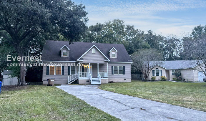


1805 S Mayflower Dr Charleston, SC 29412
James Island NeighborhoodAbout This Home
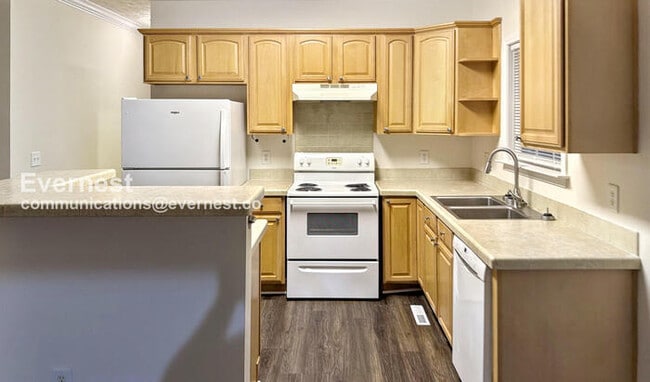
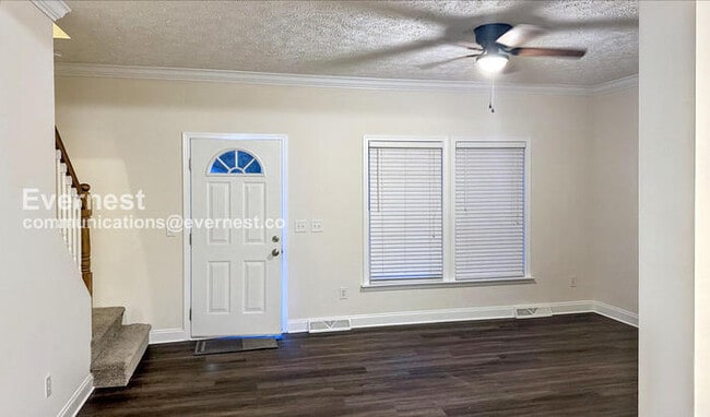
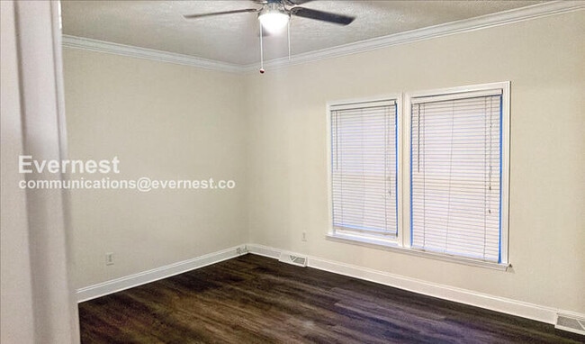
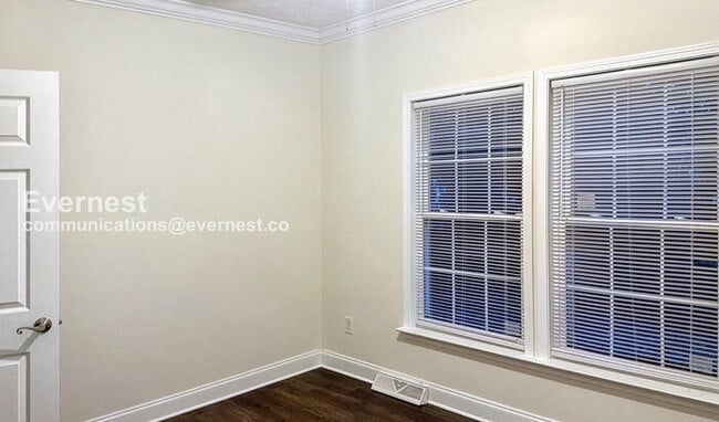
Enjoy comfortable living in this 4-bedroom, 3-bathroom home offering 2,340 sq. ft. of space and modern amenities.
- Electric range, dishwasher, and refrigerator
- Heat pump and central cooling
- Wood plank floors and laundry hookups
- Deck and fenced yard for outdoor enjoyment
- Off-street parking
Close to James Island County Park, schools, and shopping. Just 10 minutes to downtown Charleston and 15 minutes to the beach. Recent 2025 updates include new AC units, flooring, indoor paint, refrigerator, and freshly painted decks.
1 Gig internet service for $65.95/month. Please confirm service availability with our team before activation.
Pets: Yes to dogs and cats, 2 max.
Residents are responsible for all utilities.
Application; administration and additional fees may apply.
Pet fees and pet rent may apply.
All residents will be enrolled in the Resident Benefits Package (RBP) and the Building Protection Plan, which includes credit building, HVAC air filter delivery (for applicable properties), utility setup assistance at move-in, on-demand pest control, and much more! Contact your leasing agent for more information. A security deposit will be required before signing a lease.
The first person to pay the deposit and fees will have the opportunity to move forward with a lease. You must be approved to pay the deposit and fees.
Beware of scammers! Please contact Evernest Property Management at before leasing. Evernest will never request you to pay with Cash App, Zelle, Facebook, or any third party money transfer system.
This property allows self guided viewing without an appointment. Contact for details.

Map
Property History
| Date | Event | Price | List to Sale | Price per Sq Ft |
|---|---|---|---|---|
| 12/08/2025 12/08/25 | Price Changed | $3,645 | -4.1% | $2 / Sq Ft |
| 11/13/2025 11/13/25 | For Rent | $3,799 | -- | -- |
- 1814 S Mayflower Dr
- 1815 Walsingham Way
- 1039 Yorktown Dr
- 1056 Yorktown Dr
- 930 Julia St
- 0 Turkey Pen Rd Unit 16023532
- 1734 Combahee St
- 21 Rivers Point Row Unit 5A
- 21 Rivers Point Row Unit 3C
- 21 Rivers Point Row Unit 15H
- 21 Rivers Point Row Unit 10C
- 1030 Pauline Ave
- 1662 Dexter Ln
- 47 Rivers Point Row Unit 3
- 1764 Lady Ashley St
- 1152 Bradford Ave
- 1 S Anderson Ave
- 1924 Ferguson Rd
- 1014 Arborwood Dr
- 1153 Pauline Ave
- 1010 Yorktown Dr
- 934 Yorktown Dr
- 1749 Lady Ashley St
- 40 Meander Row Unit 12
- 1422 Camp Rd Unit C
- 1150 Aruba Cir
- 1769 Brantley Dr
- 823 Jordan St
- 761 Jordan St
- 1001 Riverland Woods Place
- 779 Riverland Dr
- 728 Riverland Dr
- 1743 Central Park Rd
- 1755 Central Park Rd Unit 6112
- 1950 Weeping Cypress Dr
- 1617 Lamplighter Ln
- 1954 Weeping Cypress Dr
- 700 Daniel Ellis Dr Unit 12303
- 1502 Westway Dr
- 550 Harbor Cove Ln